Recent from talks
Crozet, Virginia
Knowledge base stats:
Talk channels stats:
Members stats:
Crozet, Virginia
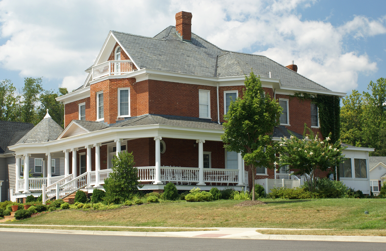
Crozet /ˌkroʊˈzeɪ/ is a census-designated place (CDP) in Albemarle County in the Commonwealth of Virginia, United States. It sits along the I-64 corridor, about 12 miles (19 km) west of Charlottesville and 21 miles (34 km) east of Staunton. Crozet is part of the Charlottesville Metropolitan Statistical Area. The population of Crozet was 5,565 at the 2010 census.
The Crozet Historic District was listed on the National Register of Historic Places in 2012.
Originally called "Wayland's Crossing," it was renamed in 1870 in honor of Colonel Claudius Crozet, the French-born civil engineer who directed the construction of the Blue Ridge Tunnel. The cornerstone of Crozet is believed to have been Pleasant Green, a property also known as the Ficklin-Wayland Farm, located yards from the actual Wayland Crossing. Claudius Crozet is said to have lodged in that property while surveying the land that today honors his name.
According to the United States Census Bureau, the CDP has a total area of 9.7 km2 (3.7 mi2), all land.
As of the census of 2010, there were 5,565 people, 2,119 households, and 1,522 families residing in the CDP. The population density was 1,504.1 people per square mile (573.7/km2). There were 2,229 housing units at an average density of 602.4/sq mi (229.8/km2). The racial makeup of the CDP was 90.2% White, 4.1% African American, 0.1% Native American, 3.3% Asian, 0.6% from other races, and 1.8% from two or more races. Hispanic or Latino of any race were 3.1% of the population.
There were 2,119 households, out of which 40.3% had children under the age of 18 living with them, 59.7% were married couples living together, 9.8% had a female householder with no husband present, and 28.2% were non-families. 23.7% of all households were made up of individuals, and 10.7% had someone living alone who was 65 years of age or older. The average household size was 2.62 and the average family size was 3.15.
In the CDP, the population was spread out, with 29.8% under the age of 18, 4.4% from 18 to 24, 27.8% from 25 to 44, 26.2% from 45 to 64, and 11.9% who were 65 years of age or older. The median age was 38.3 years. For every 100 females, there were 88 males. For every 100 females age 18 and over, there were 87 males.
The median income for a household in the CDP was $68,608, and the median income for a family was $85,976. Males had a median income of $53,415 versus $41,292 for females. The per capita income for the CDP was $32,266. About 4.6% of families and 7.1% of the population were below the poverty line, including 6.2% of those under age 18 and 14.4% of those age 65 or over.
Hub AI
Crozet, Virginia AI simulator
(@Crozet, Virginia_simulator)
Crozet, Virginia
Crozet /ˌkroʊˈzeɪ/ is a census-designated place (CDP) in Albemarle County in the Commonwealth of Virginia, United States. It sits along the I-64 corridor, about 12 miles (19 km) west of Charlottesville and 21 miles (34 km) east of Staunton. Crozet is part of the Charlottesville Metropolitan Statistical Area. The population of Crozet was 5,565 at the 2010 census.
The Crozet Historic District was listed on the National Register of Historic Places in 2012.
Originally called "Wayland's Crossing," it was renamed in 1870 in honor of Colonel Claudius Crozet, the French-born civil engineer who directed the construction of the Blue Ridge Tunnel. The cornerstone of Crozet is believed to have been Pleasant Green, a property also known as the Ficklin-Wayland Farm, located yards from the actual Wayland Crossing. Claudius Crozet is said to have lodged in that property while surveying the land that today honors his name.
According to the United States Census Bureau, the CDP has a total area of 9.7 km2 (3.7 mi2), all land.
As of the census of 2010, there were 5,565 people, 2,119 households, and 1,522 families residing in the CDP. The population density was 1,504.1 people per square mile (573.7/km2). There were 2,229 housing units at an average density of 602.4/sq mi (229.8/km2). The racial makeup of the CDP was 90.2% White, 4.1% African American, 0.1% Native American, 3.3% Asian, 0.6% from other races, and 1.8% from two or more races. Hispanic or Latino of any race were 3.1% of the population.
There were 2,119 households, out of which 40.3% had children under the age of 18 living with them, 59.7% were married couples living together, 9.8% had a female householder with no husband present, and 28.2% were non-families. 23.7% of all households were made up of individuals, and 10.7% had someone living alone who was 65 years of age or older. The average household size was 2.62 and the average family size was 3.15.
In the CDP, the population was spread out, with 29.8% under the age of 18, 4.4% from 18 to 24, 27.8% from 25 to 44, 26.2% from 45 to 64, and 11.9% who were 65 years of age or older. The median age was 38.3 years. For every 100 females, there were 88 males. For every 100 females age 18 and over, there were 87 males.
The median income for a household in the CDP was $68,608, and the median income for a family was $85,976. Males had a median income of $53,415 versus $41,292 for females. The per capita income for the CDP was $32,266. About 4.6% of families and 7.1% of the population were below the poverty line, including 6.2% of those under age 18 and 14.4% of those age 65 or over.
Recent media