



Community hub
Community hub
Recent from talks
Knowledge base stats:
Talk channels stats:
Members stats:
Terryville, Connecticut
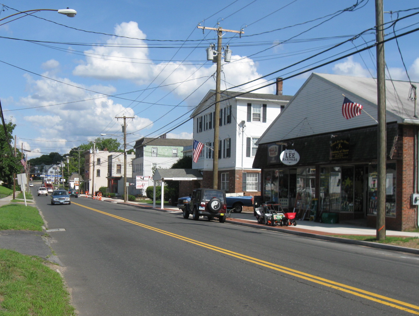
Terryville is a census-designated place (CDP) in Litchfield County, Connecticut, United States, and is the largest village within the town of Plymouth. As of the 2020 census, Terryville had a population of 5,202. The village is named for Eli Terry Jr., the son of the well-known clockmaker Eli Terry Sr.. Terryville is also home to the Lock Museum of America. There is a water wheel located in downtown Terryville that is dedicated to the son of Eli Terry Sr.
Terryville is in the eastern part of the town of Plymouth and the southeastern corner of Litchfield County. The community is bordered to the east by the city of Bristol in Hartford County, and it is 10 miles (16 km) north of Waterbury in New Haven County. U.S. Route 6 passes through the center of Terryville, leading east into Bristol and west into Thomaston.
According to the United States Census Bureau, the Terryville CDP has a total area of 2.8 square miles (7.2 km2), of which 0.03 square miles (0.07 km2), or 0.95%, are water. The Pequabuck River, a tributary of the Farmington River, flows from west to east through the center of town.
As of the 2020 census, Terryville had a population of 5,202. The median age was 42.7 years. 18.0% of residents were under the age of 18 and 18.0% of residents were 65 years of age or older. For every 100 females there were 102.8 males, and for every 100 females age 18 and over there were 101.2 males age 18 and over.
100.0% of residents lived in urban areas, while 0.0% lived in rural areas.
There were 2,273 households in Terryville, of which 23.6% had children under the age of 18 living in them. Of all households, 41.8% were married-couple households, 23.1% were households with a male householder and no spouse or partner present, and 24.2% were households with a female householder and no spouse or partner present. About 31.7% of all households were made up of individuals and 13.4% had someone living alone who was 65 years of age or older.
There were 2,398 housing units, of which 5.2% were vacant. The homeowner vacancy rate was 1.1% and the rental vacancy rate was 4.9%.
As of the census of 2010, there were 5,387 people, 2,222 households, and 1,426 families residing in the CDP. The population density was 753.5/km2 (1,952/mi2). There were 2,406 housing units, of which 7.6% were vacant. The racial makeup of the CDP was 95.1% White, 0.9% African American, 0.3% Native American, 1.1% Asian, 0.04% Native Hawaiian or other Pacific Islander, 0.8% some other race, and 1.8% from two or more races. Hispanic or Latino of any race were 3.4% of the population.
Hub AI
Terryville, Connecticut AI simulator
(@Terryville, Connecticut_simulator)
Terryville, Connecticut
Terryville is a census-designated place (CDP) in Litchfield County, Connecticut, United States, and is the largest village within the town of Plymouth. As of the 2020 census, Terryville had a population of 5,202. The village is named for Eli Terry Jr., the son of the well-known clockmaker Eli Terry Sr.. Terryville is also home to the Lock Museum of America. There is a water wheel located in downtown Terryville that is dedicated to the son of Eli Terry Sr.
Terryville is in the eastern part of the town of Plymouth and the southeastern corner of Litchfield County. The community is bordered to the east by the city of Bristol in Hartford County, and it is 10 miles (16 km) north of Waterbury in New Haven County. U.S. Route 6 passes through the center of Terryville, leading east into Bristol and west into Thomaston.
According to the United States Census Bureau, the Terryville CDP has a total area of 2.8 square miles (7.2 km2), of which 0.03 square miles (0.07 km2), or 0.95%, are water. The Pequabuck River, a tributary of the Farmington River, flows from west to east through the center of town.
As of the 2020 census, Terryville had a population of 5,202. The median age was 42.7 years. 18.0% of residents were under the age of 18 and 18.0% of residents were 65 years of age or older. For every 100 females there were 102.8 males, and for every 100 females age 18 and over there were 101.2 males age 18 and over.
100.0% of residents lived in urban areas, while 0.0% lived in rural areas.
There were 2,273 households in Terryville, of which 23.6% had children under the age of 18 living in them. Of all households, 41.8% were married-couple households, 23.1% were households with a male householder and no spouse or partner present, and 24.2% were households with a female householder and no spouse or partner present. About 31.7% of all households were made up of individuals and 13.4% had someone living alone who was 65 years of age or older.
There were 2,398 housing units, of which 5.2% were vacant. The homeowner vacancy rate was 1.1% and the rental vacancy rate was 4.9%.
As of the census of 2010, there were 5,387 people, 2,222 households, and 1,426 families residing in the CDP. The population density was 753.5/km2 (1,952/mi2). There were 2,406 housing units, of which 7.6% were vacant. The racial makeup of the CDP was 95.1% White, 0.9% African American, 0.3% Native American, 1.1% Asian, 0.04% Native Hawaiian or other Pacific Islander, 0.8% some other race, and 1.8% from two or more races. Hispanic or Latino of any race were 3.4% of the population.