| Angu River | |
|---|---|
 | |
| Location | |
| Country | Brazil |
| state | Minas Gerais |
| Physical characteristics | |
| Source | |
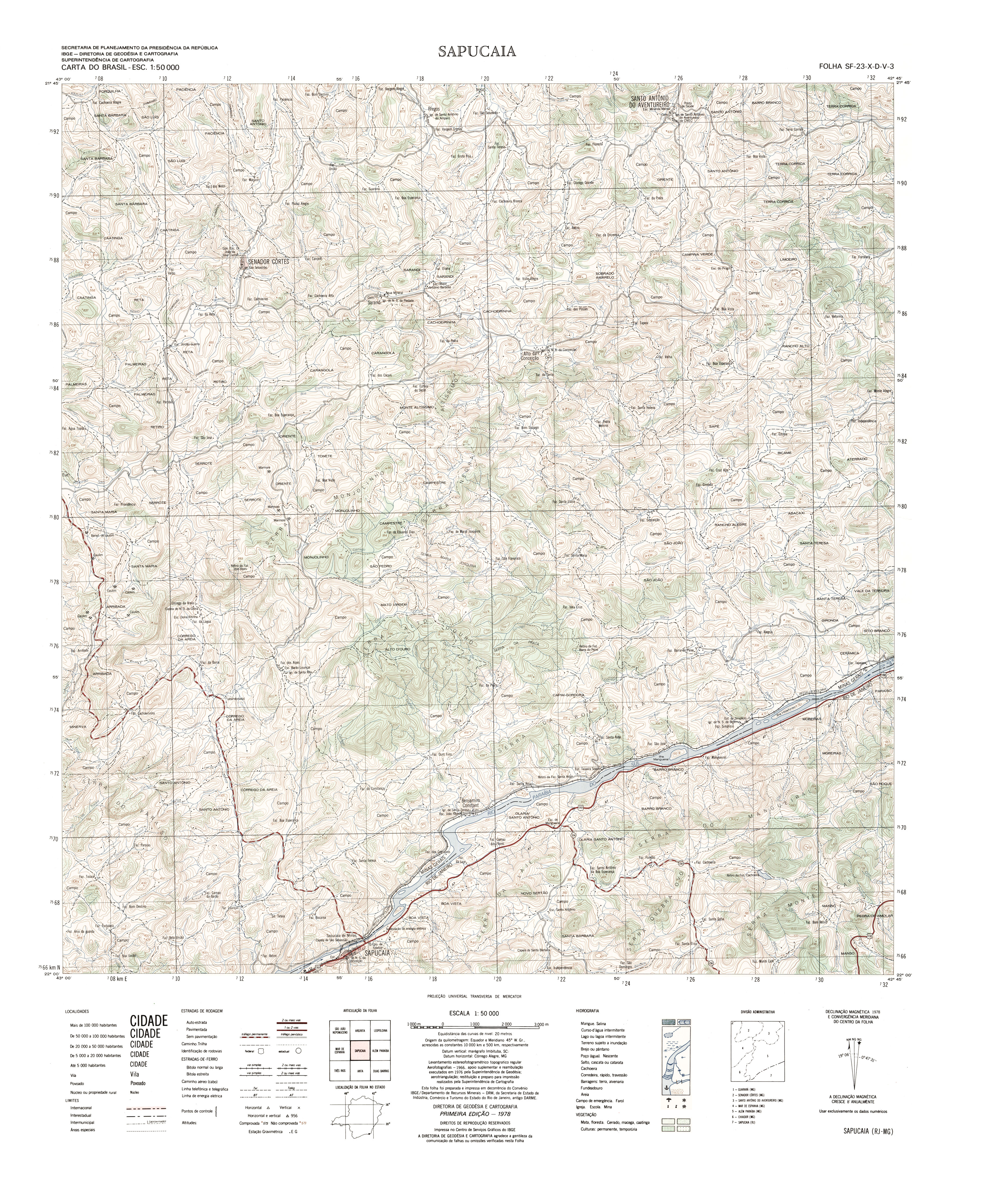
| • location | Senador Cortes, MG, Brazil |
| • coordinates | 21°46′3″S 42°54′34″W / 21.76750°S 42.90944°W |
| • elevation | 700 m (2,300 ft) |
| Mouth | |
• location | Volta Grande, MG, Brazil |
• coordinates | 21°48′24″S 42°30′33″W / 21.80667°S 42.50917°W |
| Length | 58 km (36 mi) |
The Angu River is a river in the Brazilian state of Minas Gerais. It is a left bank tributary of the Rio Paraiba do Sul. It is 58 km (36 mi) in length and drains an area of 346 km2 (134 sq mi) .[1]
The source of the river is located in the municipality of Senador Cortes [2] and it passes through the municipalities of Santo Antônio do Aventureiro and Além Paraíba to its mouth on the Paraiba do Sul near the city of Volta Grande .[3]
