Main page

Community Hub0 subscribers
Community Hub
Suhindol Point
View on Wikipediafrom Wikipedia


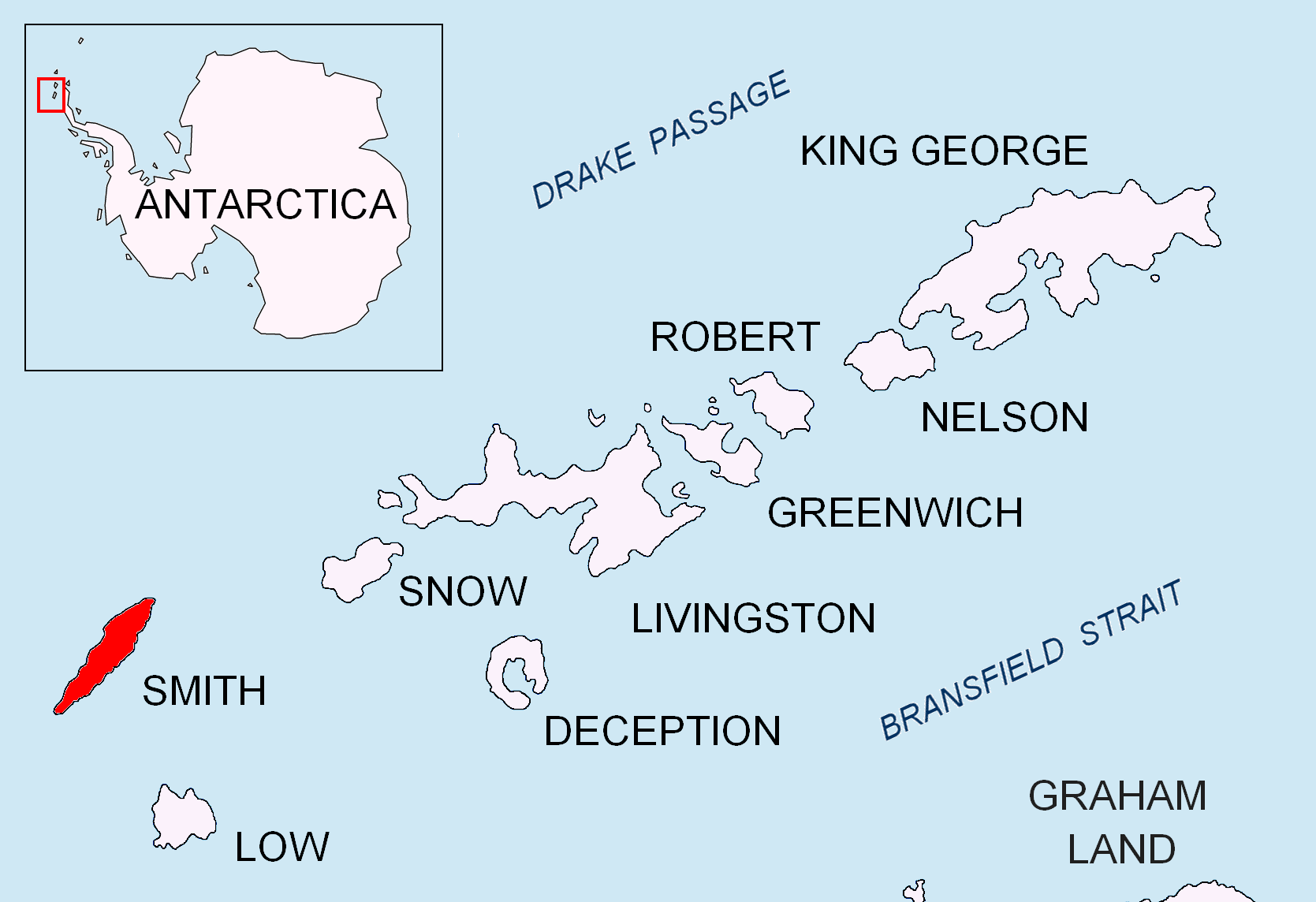
Suhindol Point (Bulgarian: нос Сухиндол, ‘Nos Suhindol’ \'nos 'su-hin-dol\) is a point on the southeast coast of Smith Island, South Shetland Islands projecting 450 m southeastwards into Osmar Strait, and situated 3.54 km east-northeast of Cape James and 4.3 km southwest of Dupnitsa Point. Bulgarian early mapping in 2009. Named after the town of Suhindol in northern Bulgaria.
63°05′12″S 62°39′02″W / 63.08667°S 62.65056°W
Maps
[edit]- Chart of South Shetland including Coronation Island, &c. from the exploration of the sloop Dove in the years 1821 and 1822 by George Powell Commander of the same. Scale ca. 1:200000. London: Laurie, 1822.
- L.L. Ivanov. Antarctica: Livingston Island and Greenwich, Robert, Snow and Smith Islands. Scale 1:120000 topographic map. Troyan: Manfred Wörner Foundation, 2010. ISBN 978-954-92032-9-5 (First edition 2009. ISBN 978-954-92032-6-4)
- South Shetland Islands: Smith and Low Islands. Scale 1:150000 topographic map No. 13677. British Antarctic Survey, 2009.
- Antarctic Digital Database (ADD). Scale 1:250000 topographic map of Antarctica. Scientific Committee on Antarctic Research (SCAR). Since 1993, regularly upgraded and updated.
- L.L. Ivanov. Antarctica: Livingston Island and Smith Island. Scale 1:100000 topographic map. Manfred Wörner Foundation, 2017. ISBN 978-619-90008-3-0


References
[edit]- Suhindol Point. SCAR Composite Antarctic Gazetteer
- Bulgarian Antarctic Gazetteer. Antarctic Place-names Commission. (details in Bulgarian, basic data in English)
External links
[edit]- Suhindol Point. Copernix satellite image

This article includes information from the Antarctic Place-names Commission of Bulgaria which is used with permission.
 | This Smith Island (South Shetland Islands) location article is a stub. You can help Wikipedia by adding missing information. |