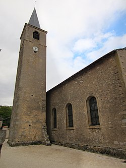
Vandelainville (French pronunciation: [vɑ̃dlɛ̃vil]) is a commune in the Meurthe-et-Moselle department in north-eastern France.
Vandelainville | |
---|---|
![]() The church in Vandelainville | |
Coordinates: 49°01′03″N 5°58′38″E / 49.0175°N 5.9772°E / 49.0175; 5.9772 | |
Country | France |
Region | Grand Est |
Department | Meurthe-et-Moselle |
Arrondissement | Toul |
Canton | Pont-à-Mousson |
Intercommunality | Mad et Moselle |
Government | |
• Mayor (2020–2026) | Jean-Louis Depierreux[1] |
Area 1 | 1.36 km2 (0.53 sq mi) |
Population (2022)[2] | 142 |
• Density | 104/km2 (270/sq mi) |
Time zone | UTC+01:00 (CET) |
• Summer (DST) | UTC+02:00 (CEST) |
INSEE/Postal code | 54544 /54890 |
Elevation | 182–366 m (597–1,201 ft) (avg. 195 m or 640 ft) |
1 French Land Register data, which excludes lakes, ponds, glaciers > 1 km2 (0.386 sq mi or 247 acres) and river estuaries. | |
The village lies on the left bank of the Rupt de Mad, which forms most of the commune's southern border.
National | |
---|---|
Geographic |
![]() | This Arrondissement of Toul geographical article is a stub. You can help Wikipedia by expanding it. |
editors
This is the start of the #editors chat. #editors is a chat channel to discuss collecting and organizing hub content.