Washington State Route 272
View on Wikipedia
 State Route 272 | ||||
|---|---|---|---|---|
 SR 272 highlighted in red | ||||
| Route information | ||||
| Auxiliary route of SR 27 | ||||
| Maintained by WSDOT | ||||
| Length | 19.22 mi[1] (30.93 km) | |||
| Existed | 1964[2]–present | |||
| Tourist routes |  Palouse Scenic Byway Palouse Scenic Byway | |||
| Major junctions | ||||
| West end |  US 195 in Colfax US 195 in Colfax | |||
 SR 27 in Palouse SR 27 in Palouse | ||||
| East end |  SH-6 at Idaho state line near Palouse SH-6 at Idaho state line near Palouse | |||
| Location | ||||
| Country | United States | |||
| State | Washington | |||
| Counties | Whitman | |||
| Highway system | ||||
| ||||


State Route 272 (SR 272) is a 19.22-mile (30.93 km) long state highway serving Whitman County in the U.S. state of Washington. The highway travels from U.S. Route 195 (US 195) in Colfax to a short concurrency with parent route SR 27 in Palouse before ending at the Idaho state line and becoming Idaho State Highway 6 (SH-6). Prior to 1964, the highway was split between Secondary State Highway 3F (SSH 3F) from Colfax to Palouse and a branch of Primary State Highway 3 (PSH 3) from Palouse to the Idaho state line.
Route description
[edit]
SR 272 begins as Canyon Street in Colfax at an intersection with Main Street, signed as US 195. The highway passes Colfax Cemetery before leaving Colfax and traveling northeast along the Palouse River into farmland. SR 272 turns southeast into Palouse, crossing the Palouse River and becoming Church Street before an intersection with Division Street, signed as SR 27. The highway turns south and east onto Echanove Avenue concurrent with SR 27, crossing a Washington State Department of Transportation (WSDOT) rail lube before turning south onto Division Street and splitting off.[3] SR 272 continues east as Main Street and leaves Palouse, traveling northeast over the WSDOT rail line towards the Idaho state line, where the highway becomes SH-6.[4] SH-6 continues east for 5.711 miles (9.191 km) along the Palouse River towards Potlatch, Idaho.[5]
Every year the WSDOT conducts a series of surveys on its highways in the state to measure traffic volume. This is expressed in terms of annual average daily traffic (AADT), which is a measure of traffic volume for any average day of the year. In 2011, WSDOT calculated that between 350 and 2,100 vehicles per day used the highway, mostly in Colfax and Palouse.[6]
History
[edit]A road connecting Colfax to Palouse and Potlatch, Idaho was first constructed in the early 20th century and appeared on a 1910 United States Geological Survey map of the Pullman area.[7] The road, following the course of the Palouse River, was later paved between Palouse and Idaho and designated as a branch of PSH 3,[8] while the gravel road between US 195 in Colfax and Palouse was signed as SSH 3F.[9][10] SSH 3F was later paved in 1955,[11][12] as the two highways merged to form SR 272 in the 1964 highway renumbering.[2][13]
Major intersections
[edit]The entire highway is in Whitman County.
| Location | mi[1] | km | Destinations | Notes | |
|---|---|---|---|---|---|
| Colfax | 0.00 | 0.00 | US 195 (Main Street) – Spokane, Pullman | Western terminus | |
| Palouse | 16.52 | 26.59 |  SR 27 south (Division Street) – Pullman SR 27 south (Division Street) – Pullman | West end of SR 272 overlap | |
| 16.77 | 26.99 |  SR 27 north (Division Street) – Spokane SR 27 north (Division Street) – Spokane | East end of SR 272 overlap | ||
| | 19.22 | 30.93 |   SH-6 to US 95 SH-6 to US 95 | Eastern terminus; Idaho state line | |
1.000 mi = 1.609 km; 1.000 km = 0.621 mi
| |||||
References
[edit]- ^ a b Strategic Planning Division (March 5, 2012). State Highway Log Planning Report 2011, SR 2 to SR 971 (PDF) (Report). Washington State Department of Transportation. pp. 1308–1310. Retrieved January 19, 2013.
- ^ a b "47.17.495: State route No. 272". Revised Code of Washington. Washington State Legislature. 1970. Retrieved January 19, 2013.
- ^ 2011 Washington State Rail System (PDF) (Map). Washington State Department of Transportation. January 2012. Retrieved January 19, 2013.
- ^ "State Route 272" (Map). Google Maps. Retrieved January 19, 2013.
- ^ "State Highway 6 Milepost Log". Idaho Transportation Department. December 18, 2006. Retrieved January 19, 2013.
- ^ Staff (2011). "2011 Annual Traffic Report" (PDF). Washington State Department of Transportation. p. 165. Archived from the original (PDF) on June 13, 2013. Retrieved January 19, 2013.
- ^ Topography: Washington - Pullman Quadrangle (JPG) (Map). 1:125,000. United States Geological Survey. December 1910. Retrieved January 19, 2013.
- ^ Washington State Legislature (March 17, 1937). "Chapter 190: Establishment of Primary State Highways". Session Laws of the State of Washington (1937 ed.). Olympia, Washington: Washington State Legislature. pp. 934–935. Retrieved January 19, 2013.
- ^ Washington State Legislature (March 18, 1937). "Chapter 207: Classification of Public Highways". Session Laws of the State of Washington (1937 ed.). Olympia, Washington: Washington State Legislature. p. 1000. Retrieved January 19, 2013.
- ^ Highways of the State of Washington (DJVU) (Map). Department of Highways. 1939. Retrieved January 19, 2013.
- ^ "Palouse Road Project Ahead". The Spokesman-Review. August 13, 1954. Retrieved January 19, 2013.
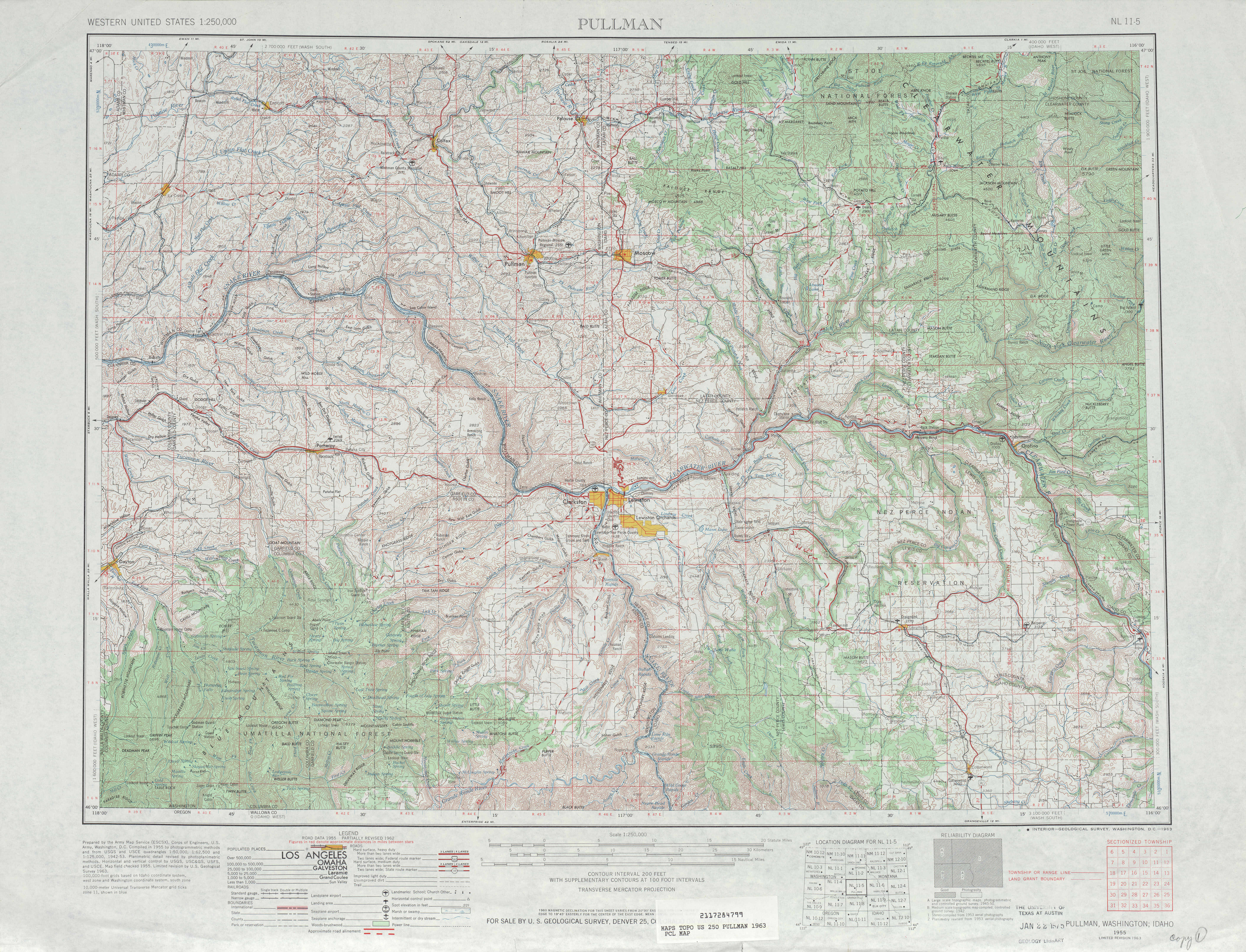
- ^ Pullman, 1963 (JPG) (Map). 1:250,000. United States Geological Survey. 1963. Retrieved January 19, 2013.
- ^ Prahl, C. G. (December 1, 1965). "Identification of State Highways" (PDF). Washington State Highway Commission, Department of Highways. Archived from the original (PDF) on February 17, 2017. Retrieved January 19, 2013.