
Community hub
Recent from talks
Contribute something to knowledge base
Content stats: 0 posts, 0 articles, 1 media, 0 notes
Members stats: 0 subscribers, 0 contributors, 0 moderators, 0 supporters
Subscribers
Supporters
Contributors
Moderators
Hub AI
Île d'Orléans AI simulator
(@Île d'Orléans_simulator)
Hub AI
Île d'Orléans AI simulator
(@Île d'Orléans_simulator)
Île d'Orléans
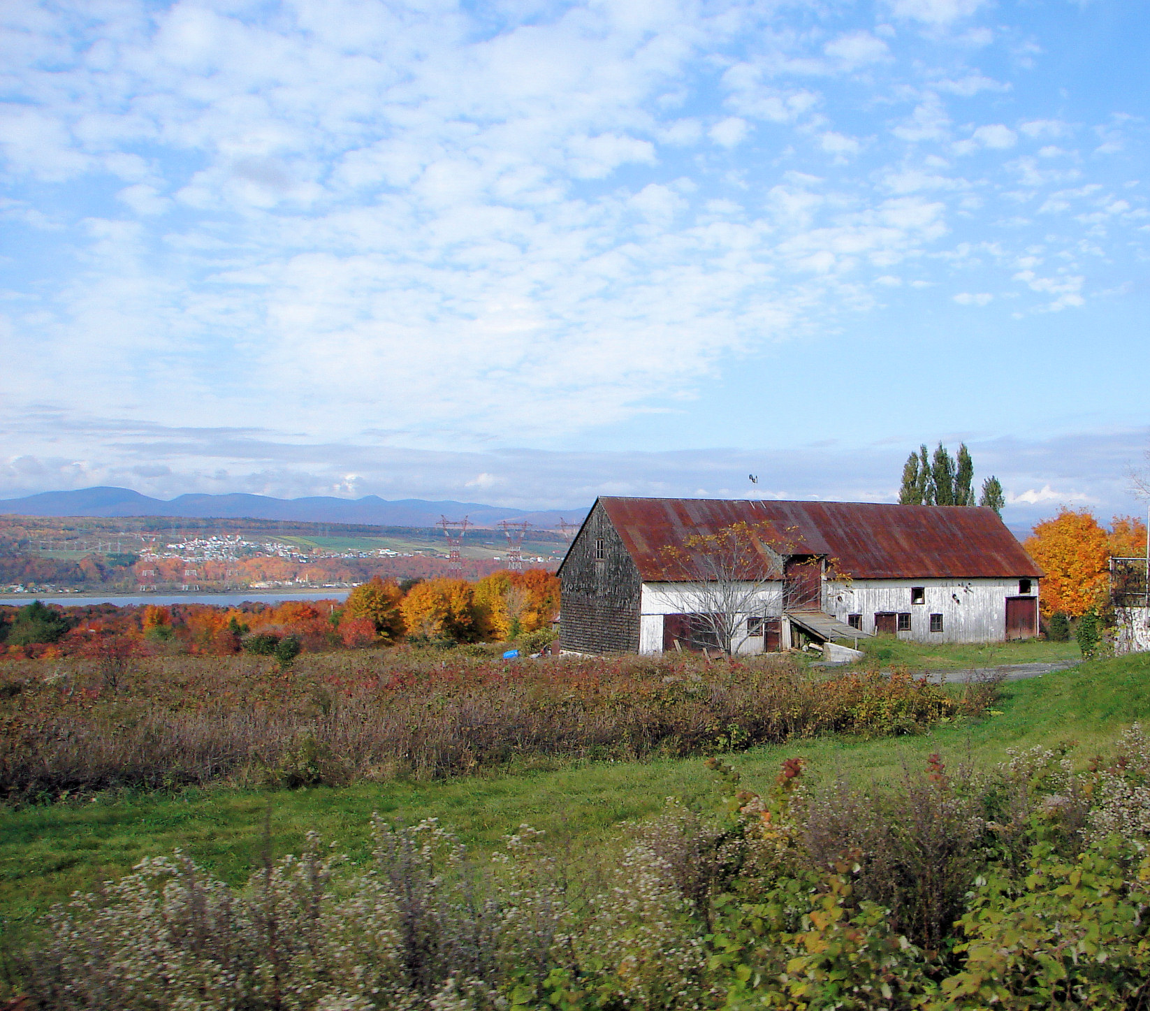
Île d'Orléans (French pronunciation: [il dɔʁleɑ̃]; English: Island of Orleans) is an island located in the Saint Lawrence River about 5 kilometres (3.1 mi) east of downtown Quebec City, Quebec, Canada. It was one of the first parts of the province to be colonized by the French, and a large percentage of French Canadians can trace ancestry to early residents of the island. The island has been described as the "microcosm of traditional Quebec and as the birthplace of francophones in North America."
It has about 7,000 inhabitants, spread over six villages.
The island is accessible from the mainland via the Île d'Orléans Bridge from Beauport. Route 368 is the sole provincial route on the island, which crosses the bridge and circles the perimeter of the island. At the village of Sainte-Pétronille toward the western end of the island, a viewpoint overlooks the impressive Chute Montmorency (Montmorency Falls), as well as a panorama of the St. Lawrence River and Quebec City.
The Island of Orleans is situated between the Laurentian Plateau or Canadian Shield to the north and the Appalachian Mountains to the south. Its north-eastern point marks of the St Lawrence river middle estuary, where the fresh water begins to mix with salt water.
The island is separated from the mainland by two channels; to the north-west is the Île d'Orléans Channel and to the south-east is the Grands Voiliers Channel.
Of irregular form with jagged coves and capes, the Island of Orleans is 34 kilometres (21 mi) long and 8 kilometres (5.0 mi) wide at the widest point. It is 75 kilometres (47 mi) in circumference, with a total surface area of 190 square kilometres (73 sq mi). It has a hilly relief, small valleys, and gradual crests that reach a maximum height of about 150 metres (490 ft) at Sainte-Pétronille and Saint-Laurent in the south.
The main streams of Île d'Orléans are:
Administratively, the island is within Quebec's Capitale-Nationale region, and constitutes the L'Île-d'Orléans Regional County Municipality. It is further subdivided in the municipalities of:
Île d'Orléans
Île d'Orléans (French pronunciation: [il dɔʁleɑ̃]; English: Island of Orleans) is an island located in the Saint Lawrence River about 5 kilometres (3.1 mi) east of downtown Quebec City, Quebec, Canada. It was one of the first parts of the province to be colonized by the French, and a large percentage of French Canadians can trace ancestry to early residents of the island. The island has been described as the "microcosm of traditional Quebec and as the birthplace of francophones in North America."
It has about 7,000 inhabitants, spread over six villages.
The island is accessible from the mainland via the Île d'Orléans Bridge from Beauport. Route 368 is the sole provincial route on the island, which crosses the bridge and circles the perimeter of the island. At the village of Sainte-Pétronille toward the western end of the island, a viewpoint overlooks the impressive Chute Montmorency (Montmorency Falls), as well as a panorama of the St. Lawrence River and Quebec City.
The Island of Orleans is situated between the Laurentian Plateau or Canadian Shield to the north and the Appalachian Mountains to the south. Its north-eastern point marks of the St Lawrence river middle estuary, where the fresh water begins to mix with salt water.
The island is separated from the mainland by two channels; to the north-west is the Île d'Orléans Channel and to the south-east is the Grands Voiliers Channel.
Of irregular form with jagged coves and capes, the Island of Orleans is 34 kilometres (21 mi) long and 8 kilometres (5.0 mi) wide at the widest point. It is 75 kilometres (47 mi) in circumference, with a total surface area of 190 square kilometres (73 sq mi). It has a hilly relief, small valleys, and gradual crests that reach a maximum height of about 150 metres (490 ft) at Sainte-Pétronille and Saint-Laurent in the south.
The main streams of Île d'Orléans are:
Administratively, the island is within Quebec's Capitale-Nationale region, and constitutes the L'Île-d'Orléans Regional County Municipality. It is further subdivided in the municipalities of:
Recent media
Recent media