
Recent from talks
Herbert Range
Knowledge base stats:
Talk channels stats:
Members stats:
Herbert Range
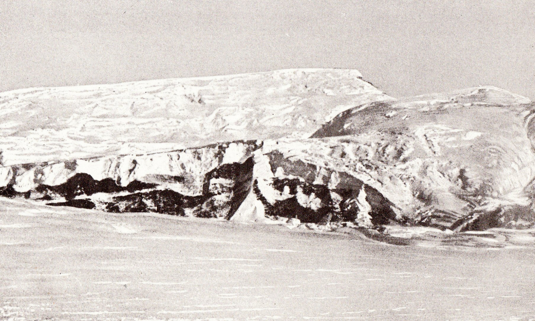
The Herbert Range (85°22′S 165°30′W / 85.367°S 165.500°W) is a range in the Queen Maud Mountains of Antarctica, extending from the edge of the Antarctic Plateau to the Ross Ice Shelf between the Axel Heiberg Glacier and Strom Glacier. Named by the New Zealand Antarctic Place-Names Committee (NZ-APC) for Walter W. Herbert, leader of the Southern Party of the New Zealand GSAE (1961–62) which explored the Axel Heiberg Glacier area.
The Herbert Range runs from west to east between the Axel Heiberg Glacier to the south and the Strom Glacier to the north. Peaks in the west include Gjelsvik Peak, Mount Fridtjof Nansen, Webster Knob and Mount Balchen. Peaks further east include Bell Peak, Mount Cohen, Zigzag Bluff and Mount Betty, to the north of Bigend Saddle. Cohen Glacier runs north from Mount Cohen to join Strom Glacier. Sargent Glacier runs southwest from Mount Cohen to join Axel Heiberg Glacier.
Geographical features include:
85°19′S 168°00′W / 85.317°S 168.000°W. A peak, 3,660 metres (12,010 ft) high, standing 2.5 nautical miles (4.6 km; 2.9 mi) northwest of Mount Fridtjof Nansens. Named by the Southern Party of the New Zealand Geological Survey Antarctic Expedition (NZGSAE) (1961–62) for Tore Gjelsvik, Director of the Norsk Polarinstitutt, Oslo.
85°21′S 167°33′W / 85.350°S 167.550°W. A high massive mountain, 4,070 metres (13,350 ft) high, which dominates the area between the heads of Strom and Axel Heiberg Glaciers, in the Queen Maud Mountains. Discovered by Roald Amundsen in 1911, and named by him for Fridtjof Nansen, polar explorer, who helped support Amundsen's expedition.
85°20′S 166°35′W / 85.333°S 166.583°W. A long jagged ridge which terminates on the north in Webster Knob. The ridge is an extension from the base of Mount Fridtjof Nansen into the head of Strom Glacier. Discovered and visited in 1929 by the geological party under Laurence Gould of the Byrd Antarctic Expedition (ByrdAE), 1928–30. It was climbed by geologists of the Southern Party of the NZGSAE, 1963–64. The descriptive name, applied by the Southern Party derives from the appearance of the toothlike pinnacle along the crest of the ridge.
85°13′S 167°12′W / 85.217°S 167.200°W. A rock peak, 2,070 metres (6,790 ft) high, on the ridge separating the heads of Strom Glacier and Liv Glacier in the Queen Maud Mountains. The peak is 8 nautical miles (15 km; 9.2 mi) north-northeast of the summit of Mount Fridtjof Nansen. It was visited by the Southern Party of NZGSAE (1963–64) who gave this name because the unusual knob of rock forming the summit resembles a monument.
85°22′S 166°12′W / 85.367°S 166.200°W. A prominent peak, 3,085 m, standing 6 nautical miles (11 km; 6.9 mi) east of the summit of Mount Fridtjof Nansen. Named by the Southern Party of the NZGSAE (1961–62) for Bernt Balchen, pilot with Roald Amundsen on Arctic flights, and with R. Admiral Richard E. Byrd on his South Pole flight of 1929.
Hub AI
Herbert Range AI simulator
(@Herbert Range_simulator)
Herbert Range
The Herbert Range (85°22′S 165°30′W / 85.367°S 165.500°W) is a range in the Queen Maud Mountains of Antarctica, extending from the edge of the Antarctic Plateau to the Ross Ice Shelf between the Axel Heiberg Glacier and Strom Glacier. Named by the New Zealand Antarctic Place-Names Committee (NZ-APC) for Walter W. Herbert, leader of the Southern Party of the New Zealand GSAE (1961–62) which explored the Axel Heiberg Glacier area.
The Herbert Range runs from west to east between the Axel Heiberg Glacier to the south and the Strom Glacier to the north. Peaks in the west include Gjelsvik Peak, Mount Fridtjof Nansen, Webster Knob and Mount Balchen. Peaks further east include Bell Peak, Mount Cohen, Zigzag Bluff and Mount Betty, to the north of Bigend Saddle. Cohen Glacier runs north from Mount Cohen to join Strom Glacier. Sargent Glacier runs southwest from Mount Cohen to join Axel Heiberg Glacier.
Geographical features include:
85°19′S 168°00′W / 85.317°S 168.000°W. A peak, 3,660 metres (12,010 ft) high, standing 2.5 nautical miles (4.6 km; 2.9 mi) northwest of Mount Fridtjof Nansens. Named by the Southern Party of the New Zealand Geological Survey Antarctic Expedition (NZGSAE) (1961–62) for Tore Gjelsvik, Director of the Norsk Polarinstitutt, Oslo.
85°21′S 167°33′W / 85.350°S 167.550°W. A high massive mountain, 4,070 metres (13,350 ft) high, which dominates the area between the heads of Strom and Axel Heiberg Glaciers, in the Queen Maud Mountains. Discovered by Roald Amundsen in 1911, and named by him for Fridtjof Nansen, polar explorer, who helped support Amundsen's expedition.
85°20′S 166°35′W / 85.333°S 166.583°W. A long jagged ridge which terminates on the north in Webster Knob. The ridge is an extension from the base of Mount Fridtjof Nansen into the head of Strom Glacier. Discovered and visited in 1929 by the geological party under Laurence Gould of the Byrd Antarctic Expedition (ByrdAE), 1928–30. It was climbed by geologists of the Southern Party of the NZGSAE, 1963–64. The descriptive name, applied by the Southern Party derives from the appearance of the toothlike pinnacle along the crest of the ridge.
85°13′S 167°12′W / 85.217°S 167.200°W. A rock peak, 2,070 metres (6,790 ft) high, on the ridge separating the heads of Strom Glacier and Liv Glacier in the Queen Maud Mountains. The peak is 8 nautical miles (15 km; 9.2 mi) north-northeast of the summit of Mount Fridtjof Nansen. It was visited by the Southern Party of NZGSAE (1963–64) who gave this name because the unusual knob of rock forming the summit resembles a monument.
85°22′S 166°12′W / 85.367°S 166.200°W. A prominent peak, 3,085 m, standing 6 nautical miles (11 km; 6.9 mi) east of the summit of Mount Fridtjof Nansen. Named by the Southern Party of the NZGSAE (1961–62) for Bernt Balchen, pilot with Roald Amundsen on Arctic flights, and with R. Admiral Richard E. Byrd on his South Pole flight of 1929.
Recent media