
Community hub
Recent from talks
Contribute something
Nothing was collected or created yet.
Postwick with Witton
View on Wikipedia

Key Information

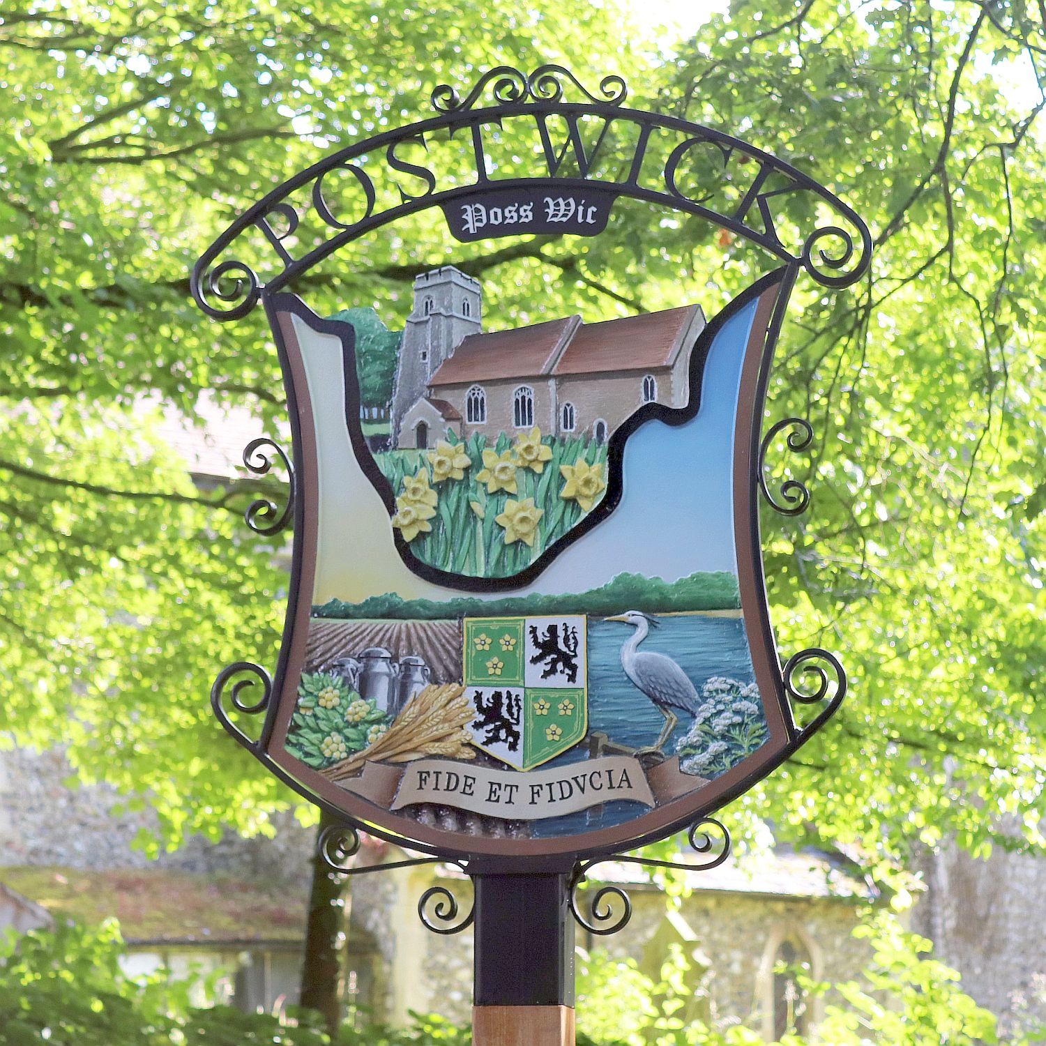
Postwick with Witton (/ˌpɒzik/ ⓘ) is a civil parish on the Broads in the English county of Norfolk, comprising the two adjacent villages of Postwick and Witton. Postwick is some 4.5 miles (7.2 km) east of the city of Norwich, just south of the eastern end of the A47 Norwich southern bypass on the north bank of the River Yare. Witton lies 1.75 miles (2.8 km) to the north-east, north of the A47.[2]
The civil parish has an area of 8.29 km2 (3.20 sq mi) and in the 2001 census had a population of 323 in 128 households, increasing to a population of 404 in 162 households at the 2011 Census. For the purposes of local government, the parish falls within the district of Broadland.[1]
Transport
[edit]Although the Wherry Lines rail line passes through Postwick, there is no station in the parish. In the west of the parish at the junction of the A47 and A1042 is Postwick Park and Ride, one of six such sites surrounding Norwich. A ferry once operated on the River Yare between Postwick and Surlingham. It ceased c. 1939 after a collision with a coaster[3]
Toponymy
[edit]The name "Postwick" means "Poss(a)'s specialised farm".
"Witton" means "Wood farm/settlement".
References
[edit]- ^ "Civil Parish population 2011". Neighbourhood Statisticxs. Office for National Statistics. Retrieved 10 August 2016.
- ^ Ordnance Survey (2005). OS Explorer Map OL40 - The Broads. ISBN 0-319-23769-9.
- ^ Surlingham – Ferry House
http://kepn.nottingham.ac.uk/map/place/Norfolk/Postwick http://kepn.nottingham.ac.uk/map/place/Norfolk/Witton
Further reading
[edit]- Carter, Anne (1991) [1987]. Postwick: The Story of a Norfolk Village. ISBN 1-873495-00-5.
External links
[edit]- Postwick with Witton page on Broadland website
- Map sources for Postwick.
- Map sources for Witton.
- Information from Genuki Norfolk on Postwick.
- Information from Genuki Norfolk on Witton.
- All Saints, Postwick
- Postwick Park and Ride[permanent dead link]
This Norfolk location article is a stub. You can help Wikipedia by adding missing information. |