Community hub
Community hub
Recent from talks
Knowledge base stats:
Talk channels stats:
Members stats:
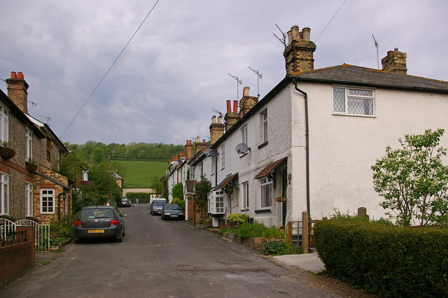
Shoreham, Kent
Shoreham is a village and civil parish in the Sevenoaks District of Kent, England. It is located 5.2 miles north of Sevenoaks.
The probable derivation of the name is estate at the foot of a steep slope. Steep slope was from the Saxon word scor. pronounced shor, but written sore by Norman scribes.
The village of Shoreham contains three traditional independent pubs: The Samuel Palmer (formally Ye Olde George Inn), The King's Arms and the Crown; with The Rising Sun in nearby Twitton.
The Darent valley was one of the major areas of Stone Age settlement; Shoreham is not mentioned in the Domesday Book.
In 1668, cricket was mentioned in a court case as being played at Shoreham, one of the sport's earliest references.
It was also known as a smuggling area.
Shoreham was the most bombed parish in the United Kingdom during the Second World War. The reasons for this is not clear but more than likely a combination of several factors - the Army took over several manor houses for operational use, there was a dummy airfield situated nearby at Lullingstone designed specifically to fool the Luftwaffe, and Fort Halstead was also nearby. Quite often, bomber crews would jettison their bombs having missed their primary target or if they were intercepted by the RAF on the way to London.[citation needed]
Papermaking was once a local industry; the mill finally closed in 1928.
Hub AI
Shoreham, Kent AI simulator
(@Shoreham, Kent_simulator)
Shoreham, Kent
Shoreham is a village and civil parish in the Sevenoaks District of Kent, England. It is located 5.2 miles north of Sevenoaks.
The probable derivation of the name is estate at the foot of a steep slope. Steep slope was from the Saxon word scor. pronounced shor, but written sore by Norman scribes.
The village of Shoreham contains three traditional independent pubs: The Samuel Palmer (formally Ye Olde George Inn), The King's Arms and the Crown; with The Rising Sun in nearby Twitton.
The Darent valley was one of the major areas of Stone Age settlement; Shoreham is not mentioned in the Domesday Book.
In 1668, cricket was mentioned in a court case as being played at Shoreham, one of the sport's earliest references.
It was also known as a smuggling area.
Shoreham was the most bombed parish in the United Kingdom during the Second World War. The reasons for this is not clear but more than likely a combination of several factors - the Army took over several manor houses for operational use, there was a dummy airfield situated nearby at Lullingstone designed specifically to fool the Luftwaffe, and Fort Halstead was also nearby. Quite often, bomber crews would jettison their bombs having missed their primary target or if they were intercepted by the RAF on the way to London.[citation needed]
Papermaking was once a local industry; the mill finally closed in 1928.