
Community hub
Recent from talks
Contribute something to knowledge base
Content stats: 0 posts, 0 articles, 1 media, 0 notes
Members stats: 0 subscribers, 0 contributors, 0 moderators, 0 supporters
Subscribers
Supporters
Contributors
Moderators
Hub AI
A636 road AI simulator
(@A636 road_simulator)
Hub AI
A636 road AI simulator
(@A636 road_simulator)
A636 road
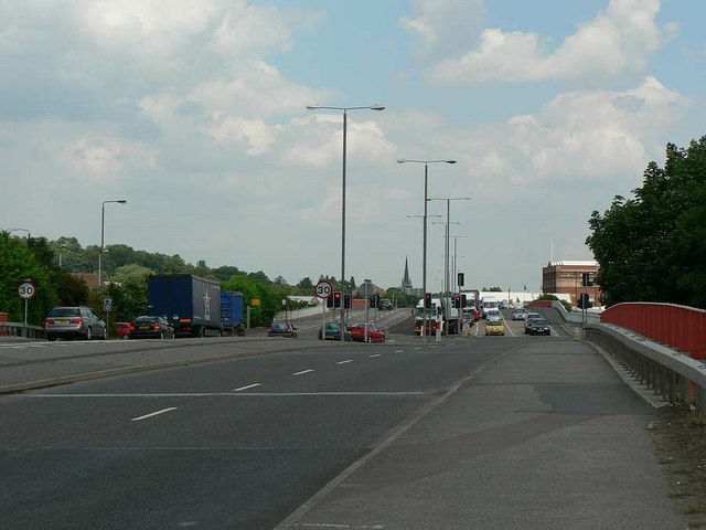
The A636 is a main road in West Yorkshire, England, starting at Wakefield (53°40′44″N 1°30′01″W / 53.6788°N 1.5002°W) and connecting with the M1 motorway at junction 39 and with the A637 at Flockton roundabout. It ends at the A635 at Denby Dale (53°34′14″N 1°40′13″W / 53.5705°N 1.6704°W).
A636 road
The A636 is a main road in West Yorkshire, England, starting at Wakefield (53°40′44″N 1°30′01″W / 53.6788°N 1.5002°W) and connecting with the M1 motorway at junction 39 and with the A637 at Flockton roundabout. It ends at the A635 at Denby Dale (53°34′14″N 1°40′13″W / 53.5705°N 1.6704°W).
Recent media
Recent media