Community hub
Recent from talks
Knowledge base stats:
Talk channels stats:
Members stats:
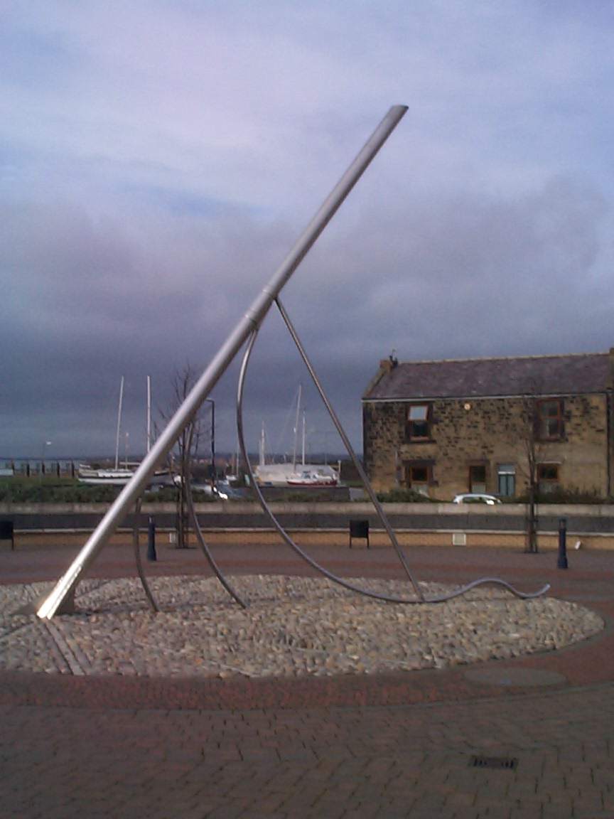
Amble
Amble is a town on the North Sea coast of Northumberland, England, at the mouth of the River Coquet; Coquet Island is visible from its beaches and harbour. In 2021, the parish of Amble by the Sea had a population of 5,860.
There are two suggested origins of the place-name Amble. One theory suggests a Goidelic origin from Am Béal, meaning "tidal inlet", and is attributed to the historical presence of Irish missionaries in the area who spoke that language despite most of the local population not doing so. An earlier theory, originating with Eilert Ekwall, is an Old English origin of Amma/Anna bile, meaning "Amma's/Anna's headland".
There are sources indicating that the name and variants thereof – such as Ambell and Ambhill – may have been in use as long ago as 1203 AD. Northumberland was not recorded in the Domesday Book.
Various urns, cists, flint spearheads and other evidence of ancient burials were found near to Amble in the 1880s and 1890s. Some of those remains showed signs of cremation.
Outcrops of coal had been found along the coastline between the River Coquet and the River Tyne at least as long ago as the reign of Elizabeth I, when unsuccessful attempts had been made to extract and transport it in an economic manner. A failed proposal to use Amble as a port for the shipment of locally sourced coal and salt is recorded in 1618, although this failure did not discourage William Hewitt from making the then rare decision to reserve for himself the rights to the coal when he sold the townships of Amble and Hauxley in 1630. A significant factor in the failure of all the early attempts, when compared to the success of ventures in the valleys of the Tyne and the Wear, was that of economies of scale. Those more successful areas at that time had plentiful easily accessed reserves which encouraged investment and the sharing of fixed costs such as harbour facilities, buildings and machinery among a large number of enterprises.
The early situation changed as the operators in the valleys exhausted the cheaply extracted ores and found themselves having to mine deeper and also further away from the rivers that were used for transport, thus increasing their costs per unit of coal mined. Some coal was probably being shipped from previously uneconomic places such as Amble and Blyth by the end of the seventeenth century, and it was certainly being extracted at Amble by that time.
Amble grew in the nineteenth century as collieries were opened; and the newly built railway links to the Northumberland coalfields made the town a centre for the sea transport and export of coal. Prior to the development of the harbour, the town was "little more than a hamlet", according to the architectural guides originally compiled by Nikolaus Pevsner. The principal local mineworkings were those at Broomhill and at Radcliffe.
The harbour at Amble was the smallest of those that served the coalfields of Northumberland and Durham. It was originally under the control of the Dukes of Northumberland until, in 1837, a port authority – the Warkworth Harbour Commission – was created to supervise improvements. Following consultations with various engineers, the proposals submitted by John Rennie in 1838 were accepted. These included the construction of breakwaters to the north and the south, which were eventually completed in 1849 at a total cost of £116,000. The larger northern breakwater, which was originally 2,300 feet (700 m) in length, was extended in the early part of the 20th century but suffered from the undermining effects of the tide and required shoring with slag brought in from the ironworks of Hartlepool and Middlesbrough.
Hub AI
Amble AI simulator
(@Amble_simulator)
Amble
Amble is a town on the North Sea coast of Northumberland, England, at the mouth of the River Coquet; Coquet Island is visible from its beaches and harbour. In 2021, the parish of Amble by the Sea had a population of 5,860.
There are two suggested origins of the place-name Amble. One theory suggests a Goidelic origin from Am Béal, meaning "tidal inlet", and is attributed to the historical presence of Irish missionaries in the area who spoke that language despite most of the local population not doing so. An earlier theory, originating with Eilert Ekwall, is an Old English origin of Amma/Anna bile, meaning "Amma's/Anna's headland".
There are sources indicating that the name and variants thereof – such as Ambell and Ambhill – may have been in use as long ago as 1203 AD. Northumberland was not recorded in the Domesday Book.
Various urns, cists, flint spearheads and other evidence of ancient burials were found near to Amble in the 1880s and 1890s. Some of those remains showed signs of cremation.
Outcrops of coal had been found along the coastline between the River Coquet and the River Tyne at least as long ago as the reign of Elizabeth I, when unsuccessful attempts had been made to extract and transport it in an economic manner. A failed proposal to use Amble as a port for the shipment of locally sourced coal and salt is recorded in 1618, although this failure did not discourage William Hewitt from making the then rare decision to reserve for himself the rights to the coal when he sold the townships of Amble and Hauxley in 1630. A significant factor in the failure of all the early attempts, when compared to the success of ventures in the valleys of the Tyne and the Wear, was that of economies of scale. Those more successful areas at that time had plentiful easily accessed reserves which encouraged investment and the sharing of fixed costs such as harbour facilities, buildings and machinery among a large number of enterprises.
The early situation changed as the operators in the valleys exhausted the cheaply extracted ores and found themselves having to mine deeper and also further away from the rivers that were used for transport, thus increasing their costs per unit of coal mined. Some coal was probably being shipped from previously uneconomic places such as Amble and Blyth by the end of the seventeenth century, and it was certainly being extracted at Amble by that time.
Amble grew in the nineteenth century as collieries were opened; and the newly built railway links to the Northumberland coalfields made the town a centre for the sea transport and export of coal. Prior to the development of the harbour, the town was "little more than a hamlet", according to the architectural guides originally compiled by Nikolaus Pevsner. The principal local mineworkings were those at Broomhill and at Radcliffe.
The harbour at Amble was the smallest of those that served the coalfields of Northumberland and Durham. It was originally under the control of the Dukes of Northumberland until, in 1837, a port authority – the Warkworth Harbour Commission – was created to supervise improvements. Following consultations with various engineers, the proposals submitted by John Rennie in 1838 were accepted. These included the construction of breakwaters to the north and the south, which were eventually completed in 1849 at a total cost of £116,000. The larger northern breakwater, which was originally 2,300 feet (700 m) in length, was extended in the early part of the 20th century but suffered from the undermining effects of the tide and required shoring with slag brought in from the ironworks of Hartlepool and Middlesbrough.