
Community hub
0 subscribers7 pages, 0 posts
Recent from talks
All channels
Be the first to start a discussion here.
Be the first to start a discussion here.
Be the first to start a discussion here.
Be the first to start a discussion here.
Contribute something
Welcome to the community hub built to collect knowledge and have discussions related to Amguid.
Nothing was collected or created yet.
Amguid
View on Wikipediafrom Wikipedia
Amguid is a village in the commune of Idlès,[1] in Tazrouk District, Tamanrasset Province, Algeria. It is located in the remote north-eastern part of the province, about 400 kilometres (250 mi) north of Tamanrasset and 310 kilometres (190 mi) west of Illizi.[2][3]
Key Information

Climate
[edit]Amguid has a hot desert climate (Köppen climate classification BWh), with very hot summers and mild winters, and very little precipitation throughout the year.
Amguid crater
[edit]The Village of Amguid is the namesake for the nearby Amguid crater. The Amguid crater is considered one of the best preserved impact craters. It is also one of the most inaccessible.
| Climate data for Amguid | |||||||||||||
|---|---|---|---|---|---|---|---|---|---|---|---|---|---|
| Month | Jan | Feb | Mar | Apr | May | Jun | Jul | Aug | Sep | Oct | Nov | Dec | Year |
| Mean daily maximum °C (°F) | 20.1 (68.2) |
23.4 (74.1) |
27.4 (81.3) |
32.2 (90.0) |
36.1 (97.0) |
40.8 (105.4) |
42.2 (108.0) |
41.1 (106.0) |
38.5 (101.3) |
33.3 (91.9) |
27.0 (80.6) |
21.8 (71.2) |
32.0 (89.6) |
| Daily mean °C (°F) | 12.3 (54.1) |
15.3 (59.5) |
19.2 (66.6) |
23.9 (75.0) |
28.2 (82.8) |
33.0 (91.4) |
34.2 (93.6) |
33.3 (91.9) |
30.9 (87.6) |
25.5 (77.9) |
19.1 (66.4) |
14.0 (57.2) |
24.1 (75.3) |
| Mean daily minimum °C (°F) | 4.6 (40.3) |
7.2 (45.0) |
11.0 (51.8) |
15.7 (60.3) |
20.4 (68.7) |
25.3 (77.5) |
26.2 (79.2) |
25.6 (78.1) |
23.3 (73.9) |
17.8 (64.0) |
11.3 (52.3) |
6.3 (43.3) |
16.2 (61.2) |
| Average precipitation mm (inches) | 3 (0.1) |
1 (0.0) |
2 (0.1) |
2 (0.1) |
1 (0.0) |
1 (0.0) |
0 (0) |
1 (0.0) |
1 (0.0) |
1 (0.0) |
2 (0.1) |
4 (0.2) |
19 (0.6) |
| Source: climate-data.org[4] | |||||||||||||
References
[edit]- ^ a b "Décret n° 84-365, fixant la composition, la consistance et les limites territoriale des communes. Wilaya d'El Oued" (PDF) (in French). Journal officiel de la République Algérienne. 19 December 1984. p. 1496. Archived from the original (PDF) on 5 May 2015. Retrieved 6 June 2013.
- ^ "Amguid, Algeria". Geonames.org. Retrieved 25 June 2013.
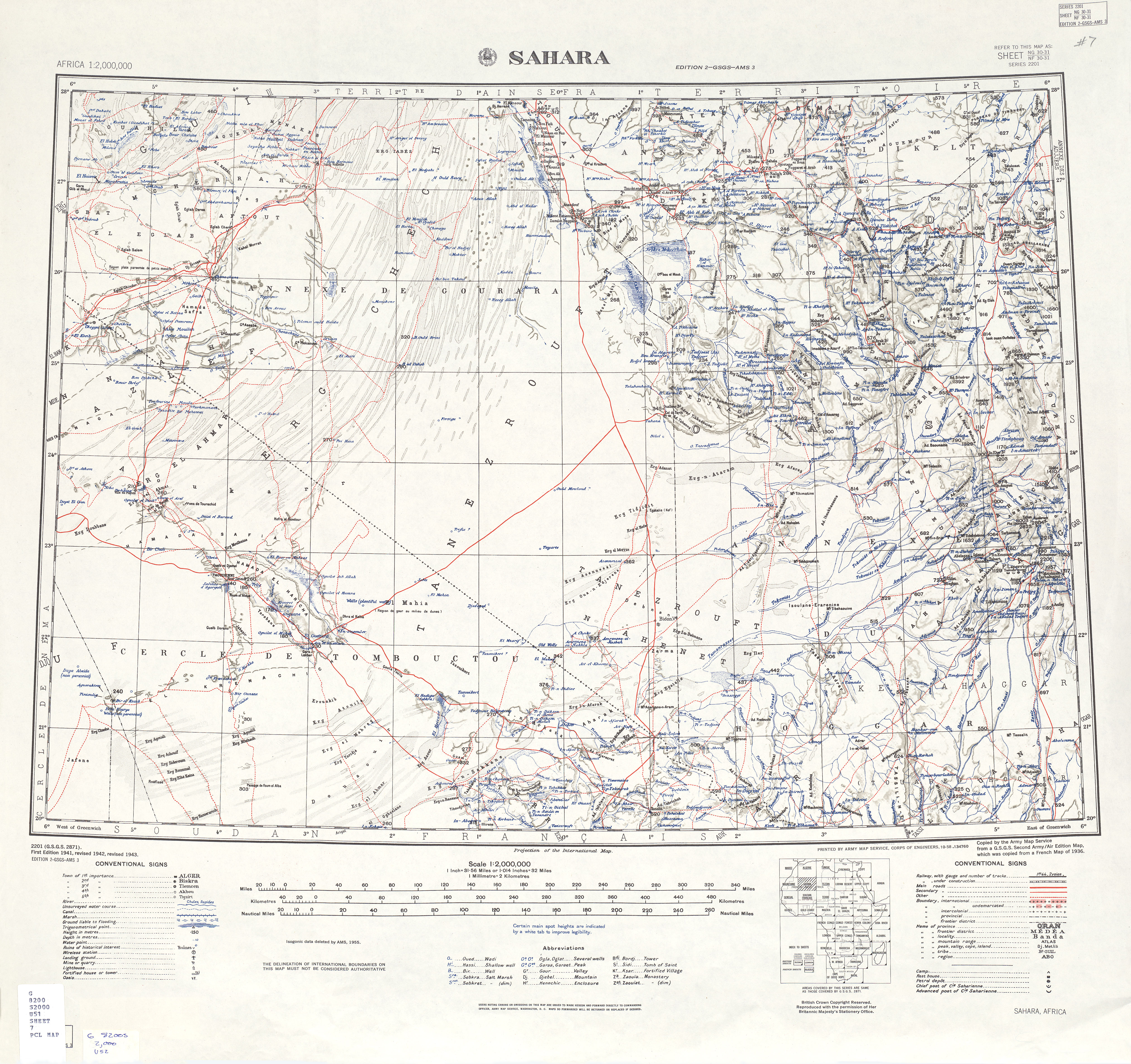
- ^ "U.S. Army Map Service: Sahara". University of Texas Libraries. Retrieved 25 June 2013.
- ^ "Climate data for: Amguid". climate-data.org. Retrieved 25 June 2013.
Neighbouring towns and cities
Places adjacent to Amguid | |
|---|---|
| Tamanrasset District | .svg) | |||||
|---|---|---|---|---|---|---|
| Tazrouk District | ||||||
| Abalessa District | ||||||