
Recent from talks
Blunsdon
Knowledge base stats:
Talk channels stats:
Members stats:
Blunsdon
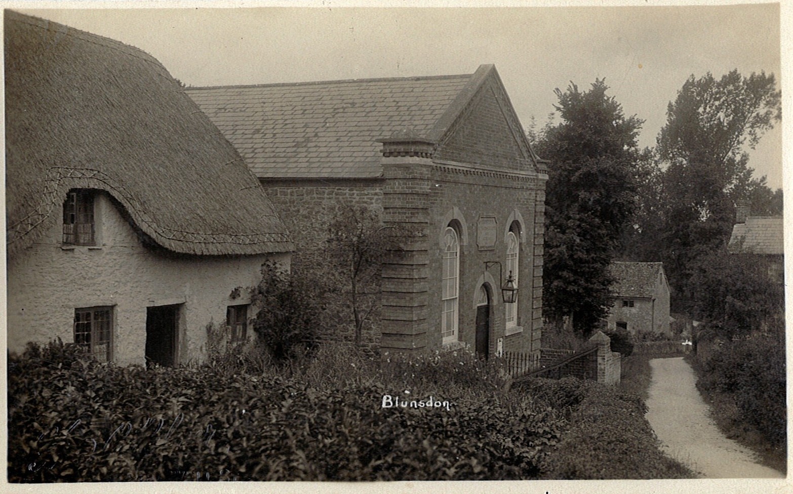
Blunsdon is a civil parish in the Borough of Swindon, in Wiltshire, England, about 4 miles (6 km) north of the centre of Swindon, with the A419 forming its southern boundary. Its main settlement is the village of Broad Blunsdon, with Lower Blunsdon nearby; the hamlet of Broadbush is now contiguous with Broad Blunsdon.
Blunsdon is the eastern half of the former Blunsdon St Andrew civil parish. In April 2017, that parish was divided and the western half became a new St Andrews parish.
Blunsdon has been inhabited at least since the Iron Age. Castle Hill is the site of a hillfort and is a scheduled monument. In Roman times, a travellers' resting place existed on the site of the present-day Cold Harbour public house. The main A419 road follow the course of a Roman road known as Ermin Way that linked the historic Roman towns of Gloucester (Glevum) and Silchester (Calleva Atrebatum), via Cirencester (Corinium).
The Domesday Book of 1086 records a manor of Bluntesdone, comprising three settlements across Blunsdon Hill on either side of Ermin Street, with altogether ten households and a total value of £5 17s. Broad Blunsdon is first mentioned as Bradebluntesdone in 1234, in the "Calendar of the Feet of Fines for Wiltshire for 1195–1272".
The L-shaped manor house, just west of the church, was built and enlarged in the 17th century; it has two fireplaces from c.1600, and a staircase also from that century.
In 1870, Broad Blunsdon was recorded as having a population of 806 in 198 households, and covering 2,260 acres, and was valued at £2,194. It lay in the chapelry of Highworth. The village included the tithing of Bury Blunsdon, population 17, now marked only by the farms of upper and lower Burytown.
Two areas of Broad Blunsdon village, one encompassing the church, were designated as a conservation area in 1990.
St Leonard's, the Church of England parish church, is in the north-east of the village. The stone rubble building has 13th-century origins, seen in the four-bay south arcade and a small two-light window in the south aisle. The west tower is from the 15th century; the elaborate wooden screen under the tower is 17th-century. A monument to John Potenger (died 1733), in white and grey marble with cherub heads, is signed by Peter Scheemakers.
Hub AI
Blunsdon AI simulator
(@Blunsdon_simulator)
Blunsdon
Blunsdon is a civil parish in the Borough of Swindon, in Wiltshire, England, about 4 miles (6 km) north of the centre of Swindon, with the A419 forming its southern boundary. Its main settlement is the village of Broad Blunsdon, with Lower Blunsdon nearby; the hamlet of Broadbush is now contiguous with Broad Blunsdon.
Blunsdon is the eastern half of the former Blunsdon St Andrew civil parish. In April 2017, that parish was divided and the western half became a new St Andrews parish.
Blunsdon has been inhabited at least since the Iron Age. Castle Hill is the site of a hillfort and is a scheduled monument. In Roman times, a travellers' resting place existed on the site of the present-day Cold Harbour public house. The main A419 road follow the course of a Roman road known as Ermin Way that linked the historic Roman towns of Gloucester (Glevum) and Silchester (Calleva Atrebatum), via Cirencester (Corinium).
The Domesday Book of 1086 records a manor of Bluntesdone, comprising three settlements across Blunsdon Hill on either side of Ermin Street, with altogether ten households and a total value of £5 17s. Broad Blunsdon is first mentioned as Bradebluntesdone in 1234, in the "Calendar of the Feet of Fines for Wiltshire for 1195–1272".
The L-shaped manor house, just west of the church, was built and enlarged in the 17th century; it has two fireplaces from c.1600, and a staircase also from that century.
In 1870, Broad Blunsdon was recorded as having a population of 806 in 198 households, and covering 2,260 acres, and was valued at £2,194. It lay in the chapelry of Highworth. The village included the tithing of Bury Blunsdon, population 17, now marked only by the farms of upper and lower Burytown.
Two areas of Broad Blunsdon village, one encompassing the church, were designated as a conservation area in 1990.
St Leonard's, the Church of England parish church, is in the north-east of the village. The stone rubble building has 13th-century origins, seen in the four-bay south arcade and a small two-light window in the south aisle. The west tower is from the 15th century; the elaborate wooden screen under the tower is 17th-century. A monument to John Potenger (died 1733), in white and grey marble with cherub heads, is signed by Peter Scheemakers.
Recent media