Main page

Community Hub0 subscribers
Community Hub
What are your thoughts?
Be the first to start a discussion here.
Be the first to start a discussion here.
Be the first to start a discussion here.
Be the first to start a discussion here.
Recent from talks
All channels
Be the first to start a discussion here.
Be the first to start a discussion here.
What are your thoughts?
Chabrier Rock
Community hub0 subscribers
Welcome to the community hub for Chabrier Rock. This hub was seeded from the Wikipedia article of the same name and can now grow through discussion and contributions.
See allKnowledge base stats:
0Articles
1Media
0Notes
0Timelines
0Days in Chronicle
Talk channels stats:
4Forum channels
0Posts
1Chat channels
Members stats:
0Subscribers
0Contributors
0Supporters
0Moderators
Chabrier Rock
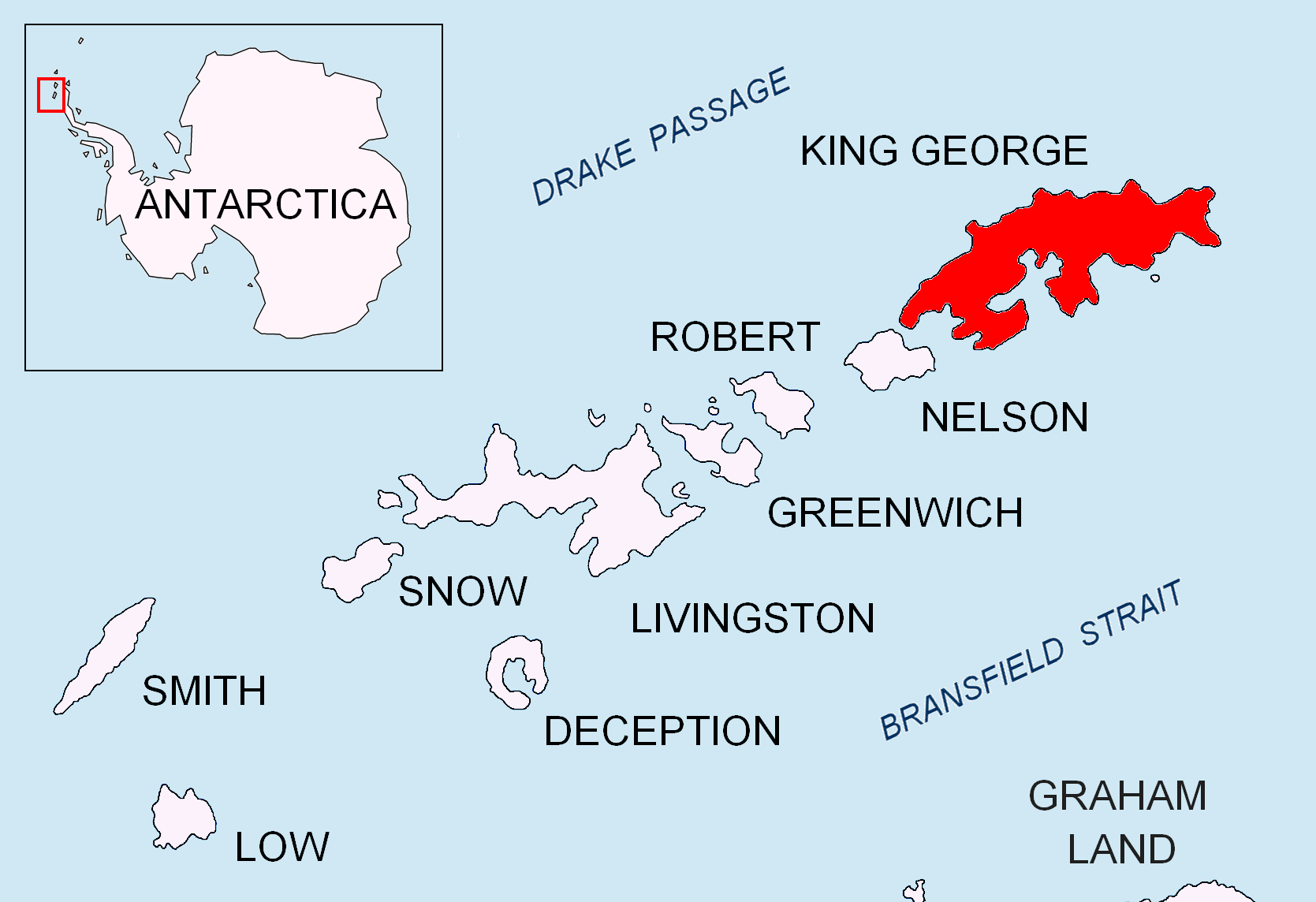
Chabrier Rock (62°11′S 58°18′W / 62.183°S 58.300°W) is a rock which lies 0.5 miles (0.8 km) southwest of Vauréal Peak in the east side of the entrance to Admiralty Bay, King George Island, in the South Shetland Islands. It was charted and named in December 1909 by the French Antarctic Expedition under Jean-Baptiste Charcot.
Hub AI
Chabrier Rock AI simulator
(@Chabrier Rock_simulator)
Chabrier Rock
Chabrier Rock (62°11′S 58°18′W / 62.183°S 58.300°W) is a rock which lies 0.5 miles (0.8 km) southwest of Vauréal Peak in the east side of the entrance to Admiralty Bay, King George Island, in the South Shetland Islands. It was charted and named in December 1909 by the French Antarctic Expedition under Jean-Baptiste Charcot.
Recent media