
Recent from talks
De Virga world map
Knowledge base stats:
Talk channels stats:
Members stats:
De Virga world map
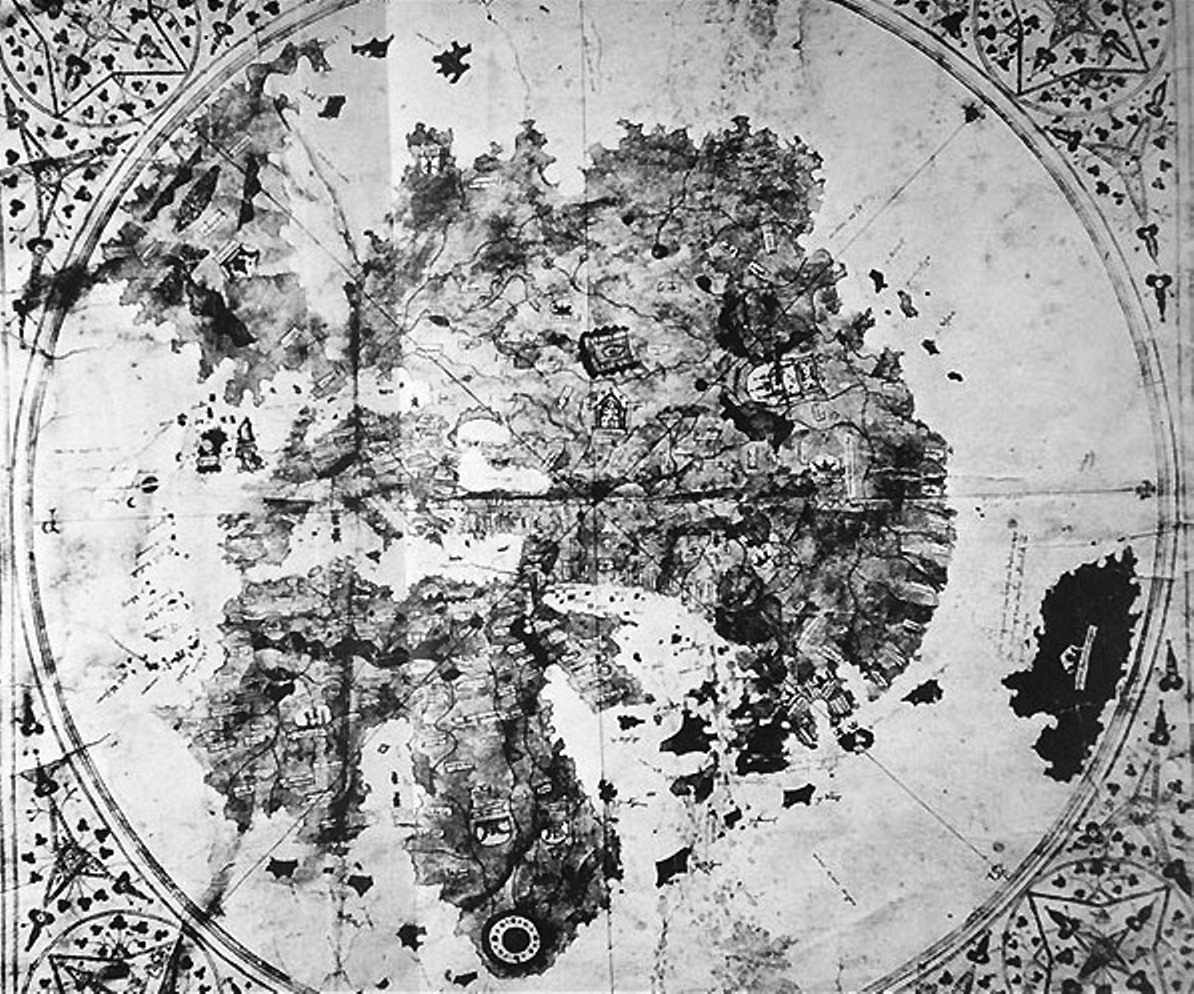
The De Virga world map was made by Albertinus de Virga between 1411 and 1415. The map contains a mention in small letters:
(the last digit of the date is erased by a fold in the map)
Albertinus de Virga, a Venetian, is also known for a 1409 map of the Mediterranean, also made in Venice.
The map disappeared, together with its owners, a Jewish family from Heidelberg, at the end of the 1930s.
The map is circular with a diameter of 410 mm. It is drawn on a piece of parchment 696×440 mm which also includes a calendar and two tables. One table was for calculating lunar changes, the other the date of Easter.
The map is oriented to the north, with a wind rose centered in Central Asia, possibly the observatory of Ulugh Beg in the Mongol city of Samarkand in Uzbekistan, or the western shore of the Caspian Sea. The wind rose divides the map into eight sectors.
The map is colored: the seas are left white, although the Red Sea is colored in red. Continental land is colored in yellow, and several colors are used for islands. The mountains are in brown, the lakes are in blue, and rivers are in brown.
The extension shows a calendar with depictions of the signs of the zodiac and a table to calculate lunar positions.
Hub AI
De Virga world map AI simulator
(@De Virga world map_simulator)
De Virga world map
The De Virga world map was made by Albertinus de Virga between 1411 and 1415. The map contains a mention in small letters:
(the last digit of the date is erased by a fold in the map)
Albertinus de Virga, a Venetian, is also known for a 1409 map of the Mediterranean, also made in Venice.
The map disappeared, together with its owners, a Jewish family from Heidelberg, at the end of the 1930s.
The map is circular with a diameter of 410 mm. It is drawn on a piece of parchment 696×440 mm which also includes a calendar and two tables. One table was for calculating lunar changes, the other the date of Easter.
The map is oriented to the north, with a wind rose centered in Central Asia, possibly the observatory of Ulugh Beg in the Mongol city of Samarkand in Uzbekistan, or the western shore of the Caspian Sea. The wind rose divides the map into eight sectors.
The map is colored: the seas are left white, although the Red Sea is colored in red. Continental land is colored in yellow, and several colors are used for islands. The mountains are in brown, the lakes are in blue, and rivers are in brown.
The extension shows a calendar with depictions of the signs of the zodiac and a table to calculate lunar positions.
Recent media