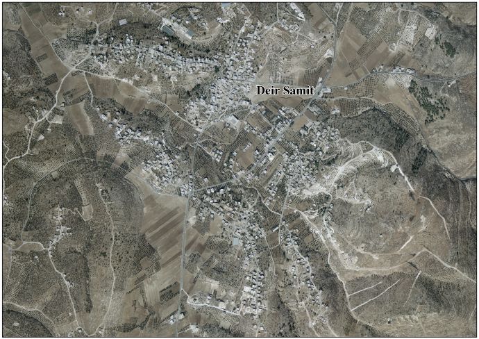
Deir Sammit (Arabic: دير سامت) is a Palestinian town located eight kilometers west of Hebron. The town is in the Hebron Governorate Southern West Bank. According to the Palestinian Central Bureau of Statistics, the town had a population of 8,114 in 2017.[1]
From the east is Dura, Hebron, from the west is As Simiya, from the south is Beit Awwa, and from the north is Al-Muwarraq.
An amulet composed of a very thin copper sheet with a Christian Palestinian Aramaic inscription was discovered at Deir Sammit.[3]
In the early tax registers from the 1500s in the Ottoman Empire, Deir Sammit was noted as being cultivated[4] by the villagers of Suba.[5]
In 1838, it was noted as a place "in ruins or deserted," part of the area between Hebron and Gaza, but under the jurisdiction of Hebron.[6][7]
In 1863, Victor Guérin called the place Khirbet Deir Samit.[8]
In 1883, the PEF's Survey of Palestine noted "traces of ruins, caves, and cisterns" here.[9]
At the time of the 1931 census of Palestine the population of Deir Samit was counted under Dura.[10]
In the wake of the 1948 Arab–Israeli War, and after the 1949 Armistice Agreements, Deir Sammit came under Jordanian rule. The Jordanian census of 1961 found 808 inhabitants in Deir Sammit.[11]
After the Six-Day War in 1967, Deir Sammit has been under Israeli occupation. Since 1995, it has been governed by the Palestinian National Authority as part of Area B of the West Bank.
The residents of Deir Samit belong to four main families: Al-Haroub, Al-Sharowna, Al-Sharha', and the Al'Awawdh family.[12] The local Haribat (Haroub) clan has its origins in Bedouins who migrated from Tubas.[13]
{{cite book}}: CS1 maint: others (link)
| Authority control databases: National |
|---|


