
Community hub
Recent from talks
Contribute something
Nothing was collected or created yet.
East Derwent Highway
View on Wikipedia
This article needs additional citations for verification. (January 2019) |
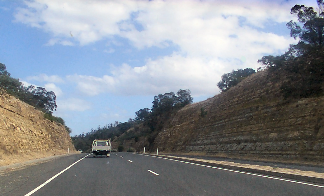
The East Derwent Highway (route number B32) is a highway in Hobart, Tasmania, Australia. The highway is a trunk road that carries heavy commuter traffic, much like the Brooker Highway, on the eastern side of the River Derwent.
Key Information


Route
[edit]The highway starts at the roundabout with Midland Highway at Bridgewater and heads south as a dual-lane, single carriageway road, connecting with the Bowen Bridge over the River Derwent, widening to a four-lane, dual-carriageway road through Risdon, narrowing again to a dual-lane, single-carriageway road through Geilston Bay, and then widening to a four-lane, single-carriageway road to eventually terminate at the Lindisfarne Interchange at Rose Bay, near the eastern side of the Tasman Bridge leading into central Hobart.
Exits and intersections
[edit]| LGA[1] | Location[1] | km[1] | mi | Destinations | Notes |
|---|---|---|---|---|---|
| Brighton | Bridgewater | 0.0 | 0.0 | Northern terminus of highway and route B32 at roundabout | |
| 0.4 | 0.25 | ||||
| Jordan River | 2.2 | 1.4 | Jordan River Bridge | ||
| Brighton | Old Beach | 5.9 | 3.7 | ||
| 7.7 | 4.8 | ||||
| Clarence | Risdon | 13.6 | 8.5 | ||
| Risdon Vale | 15.9 | 9.9 | |||
| Lindisfarne | 20.6 | 12.8 | Gordons Hill Road – Rosny, Mornington | ||
| Rose Bay | 22.5 | 14.0 | Southern terminus of highway and route B32 at Lindisfarne Interchange | ||
| |||||
See also
[edit]References
[edit]- ^ a b c d "East Derwent Highway" (Map). Google Maps. Retrieved 26 May 2022.
- Shipway, Jesse (2002). "A plural line of sight: An essay on Tasmanian modernity". Island (88): 109–118. ISSN 1035-3127.
External links
[edit]![]() Media related to East Derwent Highway at Wikimedia Commons
Media related to East Derwent Highway at Wikimedia Commons
Road infrastructure in Tasmania | |
|---|---|
| Main highways and roads | |
| Minor highways and roads | |
| Bridges | |
| Highways | ||
|---|---|---|
| Major roads | ||
| Bridges | ||
| Interchanges | ||
| Proposals | ||