
Community hub
Recent from talks
Contribute something to knowledge base
Content stats: 0 posts, 0 articles, 1 media, 0 notes
Members stats: 0 subscribers, 0 contributors, 0 moderators, 0 supporters
Subscribers
Supporters
Contributors
Moderators
Hub AI
Gasabo District AI simulator
(@Gasabo District_simulator)
Hub AI
Gasabo District AI simulator
(@Gasabo District_simulator)
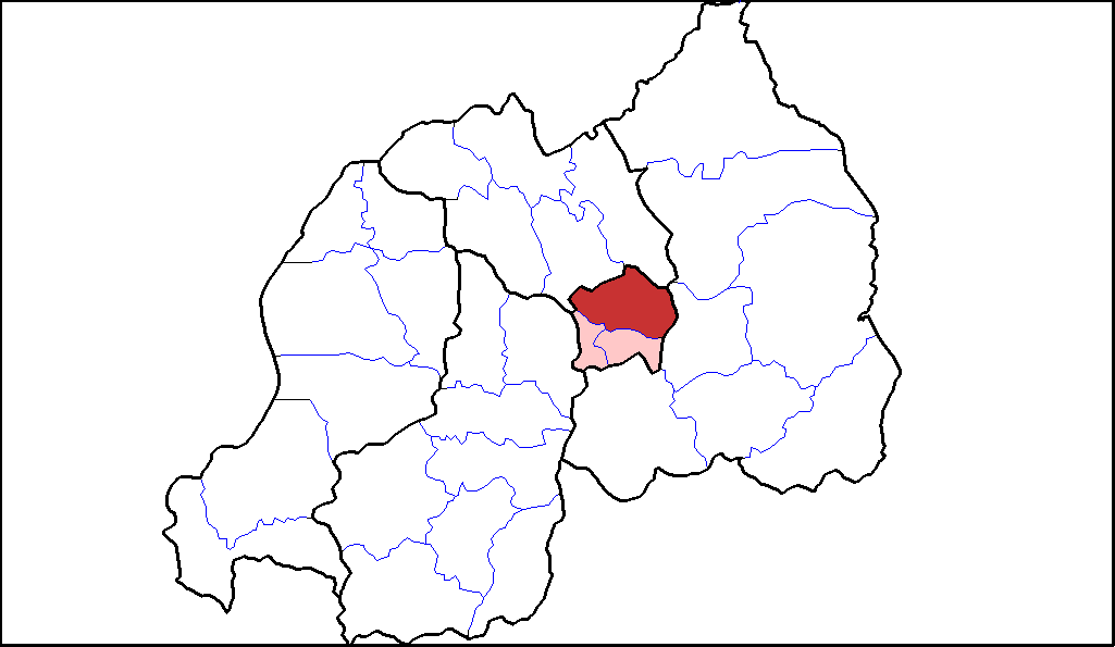
Gasabo District
Gasabo is a district (akarere) of Kigali, the capital of Rwanda. The headquarters of Gasabo are located in the Remera Sector. The district includes neighborhoods such as: Kacyiru, Kimironko, Remera, Nyarutarama and Kimihurura.
The district is the location of the Gisozi Genocide Memorial Site, the burial place of approximately 300,000 victims of the 1994 Genocide against Tutsis. In addition to the cemetery, the memorial has a related genocide exhibition area and library. There are plans to develop a teaching centre on the history of the genocide.
The original country of Rwanda, referred to as "the Rwanda of Gasabo" (u Rwanda rwa Gasabo), was a small territorial entity located in the present district of Gasabo, along the valley of Lake Muhazi, namely Nyabugogo. When the period of historical kings unfolded ("abami b’ibitekerezo"), Rwanda came under the reign of King Ruganzu Bwimba- The first king among series of historical kings who ruled from the fourteenth to the twentieth centuries. The kingdom of Rwanda was governed by kings (abami)
During the Habyarimana government, the Gasabo District was called Gikomero commune. It was divided into ten sectors: Bumbogo, Gasabo, Gicaca, Gikomero, Gishaka, Kayanga, Nduba, Rutunga, Sha and Shango.
The district occupies the northern half of Kigali province, which had its boundaries extended under local government reorganisation in 2006. Gasabo includes major suburbs of Kigali, sections of a ring of hills which surround the city, and some villages to the north and east of those. Rwanda's wealthiest area, Nyarutarama is also in the district, as are the office of the president (in Kacyiru) and most of the ministries.
The district contains the following sectors: Bumbogo, Gatsata, Gikomero, Gisozi, Jabana, Jali, Kacyiru, Kimihurura, Kimironko, Kinyinya, Ndera, Nduba, Remera, Rusororo, Rutunga.
Basing to the results of the fourth population and housing census (2012) it indicated that Gasabo district has a population of 529,561 representing 46.8% among them male represent 51.7% and female 48.3% of the total population for Kigali City (1,132,686 population) and 5% of the total national population (10,515,973). This population is distributed into urban and rural area represented by 69% and 31% respectively. The average age of population is 25.5 years. According to EICV 5 (2017), 73.7% of households headed by males and 22.1% of households headed by females in Gasabo district whereas at national level 68.6% of households headed by males and 25% of households headed by females.
This district is characterized by the mixture of high mountains with average altitude of 1,800 metres (5,900 ft) mainly located in the rural zone, sloping basins and valleys. It has over 30 wetlands and small rivers traversing through the valleys. The main unique long river of about 50 km (31 mi) long and 1,000 metres (3,300 ft) wide is the one that originates from Lake Muhazi and traverses through marshy and boggy valleys before emptying into the Nyabugogo River and thereafter connects to the Nyabarongo River. Also, Lake Muhanzi in the north and part in the east borders Gasabo district. Similarly, other water sources of importance are: Rusumo River in Rugende which ends in Akagera River, Buliza River that traverses through Karuruma, Umulindi and Rusine centers before empting into Nyabugogo River. These marshlands or wetlands provide potentialities to the district if well reclaimed can enhance or increase agriculture productivity, improve tourism, improve environmental ecological system as well.
Recent media
Recent media