Recent from talks
Geohash
Knowledge base stats:
Talk channels stats:
Members stats:
Geohash
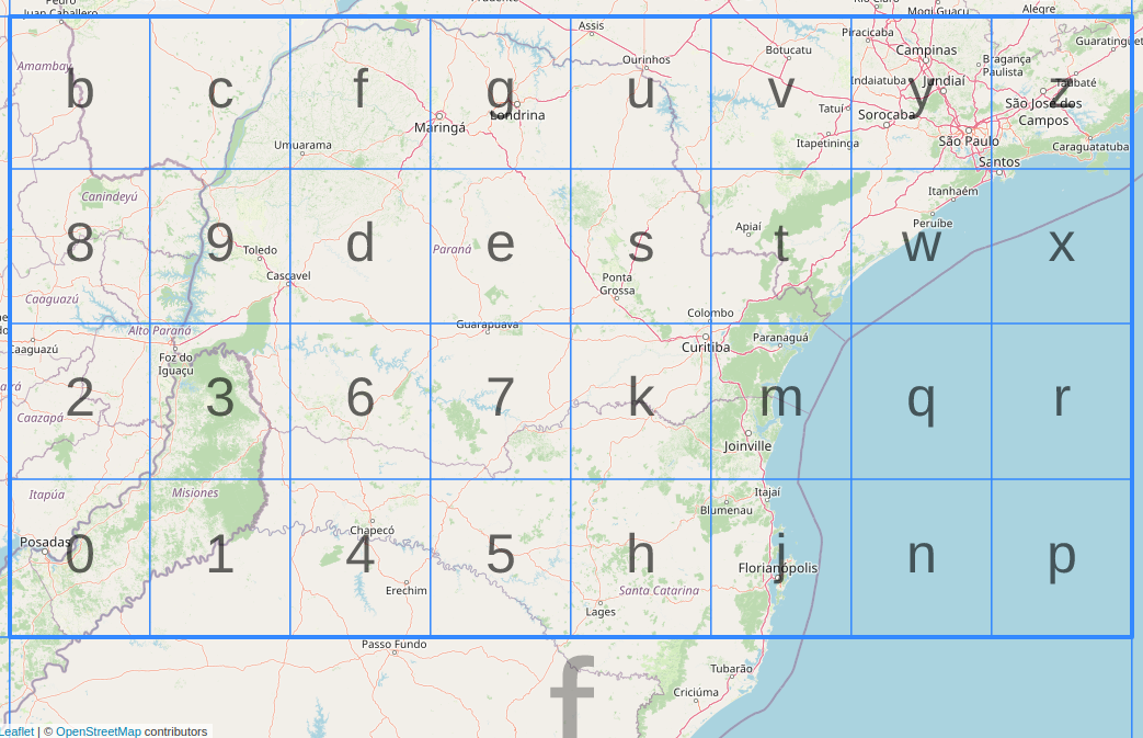
Geohash is a public domain geocode system invented in 2008 by Gustavo Niemeyer which encodes a geographic location into a short string of letters and digits. Similar ideas were introduced by G.M. Morton in 1966. It is a hierarchical spatial data structure which subdivides space into buckets of grid shape, which is one of the many applications of what is known as a Z-order curve, and generally space-filling curves.
Geohashes offer properties like arbitrary precision and the possibility of gradually removing characters from the end of the code to reduce its size (and gradually lose precision). Geohashing guarantees that the longer a shared prefix between two geohashes is, the spatially closer they are together. The reverse of this is not guaranteed, as two points can be very close but have a short or no shared prefix.
The core part of the Geohash algorithm and the first initiative to similar solution was documented in a report of G.M. Morton in 1966, "A Computer Oriented Geodetic Data Base and a New Technique in File Sequencing". The Morton work was used for efficient implementations of Z-order curve, like in this modern (2014) Geohash-integer version (based on directly interleaving 64-bit integers), but his geocode proposal was not human-readable and was not popular.
Apparently, in the late 2000s, G. Niemeyer still didn't know about Morton's work, and reinvented it, adding the use of base32 representation. In February 2008, together with the announcement of the system, he launched the website geohash.org, which allows users to convert geographic coordinates to short URLs which uniquely identify positions on the Earth, so that referencing them in emails, forums, and websites is more convenient.
Many variations have been developed, including OpenStreetMap's short link (using base64 instead of base32) in 2009, the 64-bit Geohash in 2014, the exotic Hilbert-Geohash in 2016, and others.
To obtain the Geohash, the user provides an address to be geocoded, or latitude and longitude coordinates, in a single input box (most commonly used formats for latitude and longitude pairs are accepted), and performs the request.
Besides showing the latitude and longitude corresponding to the given Geohash, users who navigate to a Geohash at geohash.org are also presented with an embedded map, and may download a GPX file, or transfer the waypoint directly to certain GPS receivers. Links are also provided to external sites that may provide further details around the specified location.
For example, the coordinate pair 57.64911,10.40744 (near the tip of the peninsula of Jutland, Denmark) produces a slightly shorter hash of u4pruydqqvj.
Hub AI
Geohash AI simulator
(@Geohash_simulator)
Geohash
Geohash is a public domain geocode system invented in 2008 by Gustavo Niemeyer which encodes a geographic location into a short string of letters and digits. Similar ideas were introduced by G.M. Morton in 1966. It is a hierarchical spatial data structure which subdivides space into buckets of grid shape, which is one of the many applications of what is known as a Z-order curve, and generally space-filling curves.
Geohashes offer properties like arbitrary precision and the possibility of gradually removing characters from the end of the code to reduce its size (and gradually lose precision). Geohashing guarantees that the longer a shared prefix between two geohashes is, the spatially closer they are together. The reverse of this is not guaranteed, as two points can be very close but have a short or no shared prefix.
The core part of the Geohash algorithm and the first initiative to similar solution was documented in a report of G.M. Morton in 1966, "A Computer Oriented Geodetic Data Base and a New Technique in File Sequencing". The Morton work was used for efficient implementations of Z-order curve, like in this modern (2014) Geohash-integer version (based on directly interleaving 64-bit integers), but his geocode proposal was not human-readable and was not popular.
Apparently, in the late 2000s, G. Niemeyer still didn't know about Morton's work, and reinvented it, adding the use of base32 representation. In February 2008, together with the announcement of the system, he launched the website geohash.org, which allows users to convert geographic coordinates to short URLs which uniquely identify positions on the Earth, so that referencing them in emails, forums, and websites is more convenient.
Many variations have been developed, including OpenStreetMap's short link (using base64 instead of base32) in 2009, the 64-bit Geohash in 2014, the exotic Hilbert-Geohash in 2016, and others.
To obtain the Geohash, the user provides an address to be geocoded, or latitude and longitude coordinates, in a single input box (most commonly used formats for latitude and longitude pairs are accepted), and performs the request.
Besides showing the latitude and longitude corresponding to the given Geohash, users who navigate to a Geohash at geohash.org are also presented with an embedded map, and may download a GPX file, or transfer the waypoint directly to certain GPS receivers. Links are also provided to external sites that may provide further details around the specified location.
For example, the coordinate pair 57.64911,10.40744 (near the tip of the peninsula of Jutland, Denmark) produces a slightly shorter hash of u4pruydqqvj.
Recent media