
Community hub
Recent from talks
Contribute something
Nothing was collected or created yet.
Gorong archipelago
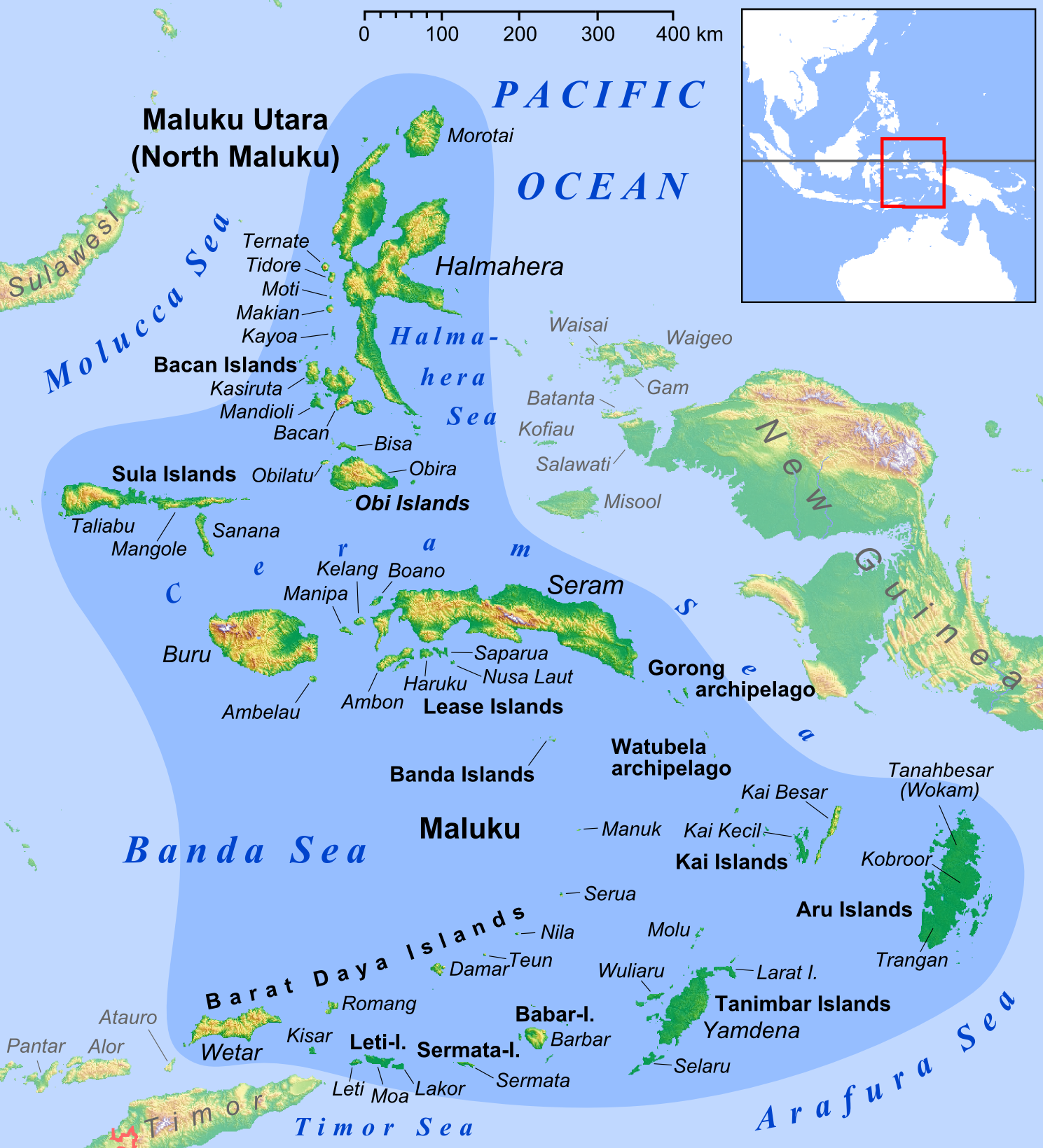
View on WikipediaThe Gorom (formerly called Gorong) archipelago is a group of islands situated between the Watubela archipelago and Ceram in the Maluku Islands.
Key Information


History
[edit]The Nagarakretagama, an Old Javanese eulogy to king Hayam Wuruk of Majapahit written in 1365, mentions "Gurun" amongst the tributary countries of the kingdom.[2]
The English naturalist Alfred Russel Wallace described the islands, which he called Goram, in chapter 25 of his 1869 book The Malay Archipelago.[3]
Islands
[edit]The archipelago has main three islands, plus a further 20-plus small offshore islands.[4]
- Gorom, the biggest island, with the villages of Miran (Miren) on the east coast, Ondor (Ondur) in the northwest and Hur on its southwestern coast.
- Panjang to the west of Gorong, with Wisalem village in its southern end.
- Manawoku in the south, with the villages of Arbau in the north, Amar and Derra, and Nama in the south.
The islands now form three separate districts (kecamatan) within East Seram Regency of Maluku. Pulau Gorom District includes the western half of Gorom Island and the whole of Manawoku Island, plus some smaller islands; Gorom Timur District includes just the eastern half of Gorom Island; and Pulau Panjang District covers Panjang Island.
Villages
[edit]|
(a) Pulau Gorom District
|
(b) Gorom Timur District
|
(c) Pulau Panjang District
|
References
[edit]- ^ Badan Pusat Statistik, Jakarta, 2023.
- ^ Denys Lombard, Le carrefour javanais (1990)
- ^ Wallace, Alfred Russel (1869). "25: Ceram, Goram, and the Matabello Islands". The Malay Archipelago: The land of the orang-utan, and the bird of paradise. A narrative of travel, with sketches of man and nature (1 ed.). Macmillan.
- ^ Government of Indonesia Seram Bagian Timur map
This article about a location in Maluku Province is a stub. You can help Wikipedia by adding missing information. |