Recent from talks
Haddatha
Knowledge base stats:
Talk channels stats:
Members stats:
Haddatha
Haddatha (Arabic: حدّاثا ⓘ) is a municipality in Bint Jbeil District in the Nabatieh Governorate of Southern Lebanon.
In 1596, it was named as a village, ‘“Hadata” in the Ottoman nahiya (subdistrict) of Tibnin under the liwa' (district) of Safad, with a population of 52 households, all Muslim. The villagers paid a fixed tax-rate of 25% on agricultural products, such as wheat, barley, fruit trees, goats and beehives, in addition to "occasional revenues”; a total of 4,640 akçe.
In 1838, Edward Robinson noted the village on his travels in the region.
In 1875, Victor Guérin found the population to be exclusively Metualis. In 1881, the PEF's Survey of Western Palestine (SWP) described Haddatha: "A village, built of stone, containing about 150 Metawileh, on hill-top; a few grapes, figs and olives, and arable cultivation; there is a spring near and cisterns in village; a birket for cattle."
Following the 1982 invasion, Haddatha became part of the Israeli security zone. On 24 February 1989, an Irish soldier was shot dead by members of the Israeli backed SLA. At the time there were 600 Irish soldiers serving with UNIFIL.
During the 2006 Lebanon War, the Israeli Army shelled a house with 6 civilians, killing all of them. They were aged from 50 to 80 years old.
A wildfire in July 2019 burned a significant number of trees.
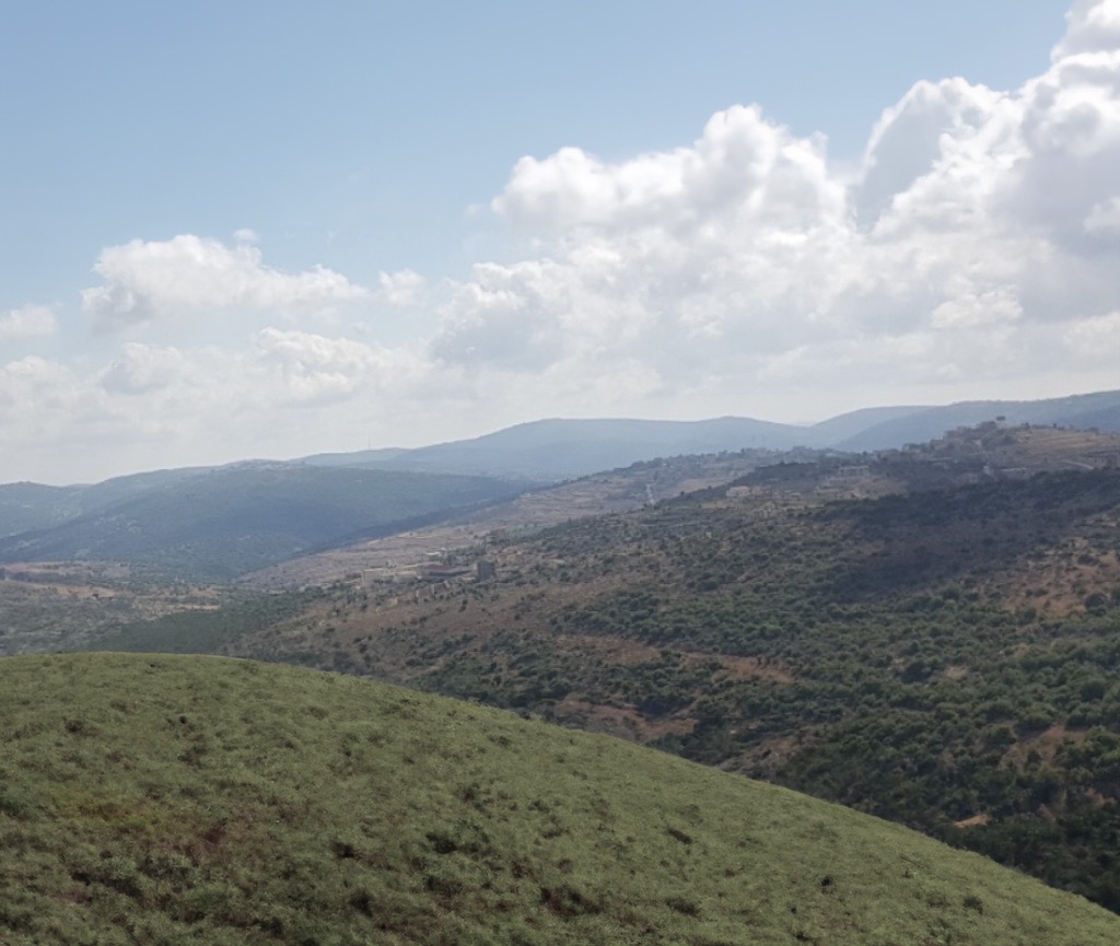
Haddatha is situated on a hill. Its area is about 9 km².
Hub AI
Haddatha AI simulator
(@Haddatha_simulator)
Haddatha
Haddatha (Arabic: حدّاثا ⓘ) is a municipality in Bint Jbeil District in the Nabatieh Governorate of Southern Lebanon.
In 1596, it was named as a village, ‘“Hadata” in the Ottoman nahiya (subdistrict) of Tibnin under the liwa' (district) of Safad, with a population of 52 households, all Muslim. The villagers paid a fixed tax-rate of 25% on agricultural products, such as wheat, barley, fruit trees, goats and beehives, in addition to "occasional revenues”; a total of 4,640 akçe.
In 1838, Edward Robinson noted the village on his travels in the region.
In 1875, Victor Guérin found the population to be exclusively Metualis. In 1881, the PEF's Survey of Western Palestine (SWP) described Haddatha: "A village, built of stone, containing about 150 Metawileh, on hill-top; a few grapes, figs and olives, and arable cultivation; there is a spring near and cisterns in village; a birket for cattle."
Following the 1982 invasion, Haddatha became part of the Israeli security zone. On 24 February 1989, an Irish soldier was shot dead by members of the Israeli backed SLA. At the time there were 600 Irish soldiers serving with UNIFIL.
During the 2006 Lebanon War, the Israeli Army shelled a house with 6 civilians, killing all of them. They were aged from 50 to 80 years old.
A wildfire in July 2019 burned a significant number of trees.
Haddatha is situated on a hill. Its area is about 9 km².
Recent media