Recent from talks
Hollis, Queens
Knowledge base stats:
Talk channels stats:
Members stats:
Hollis, Queens
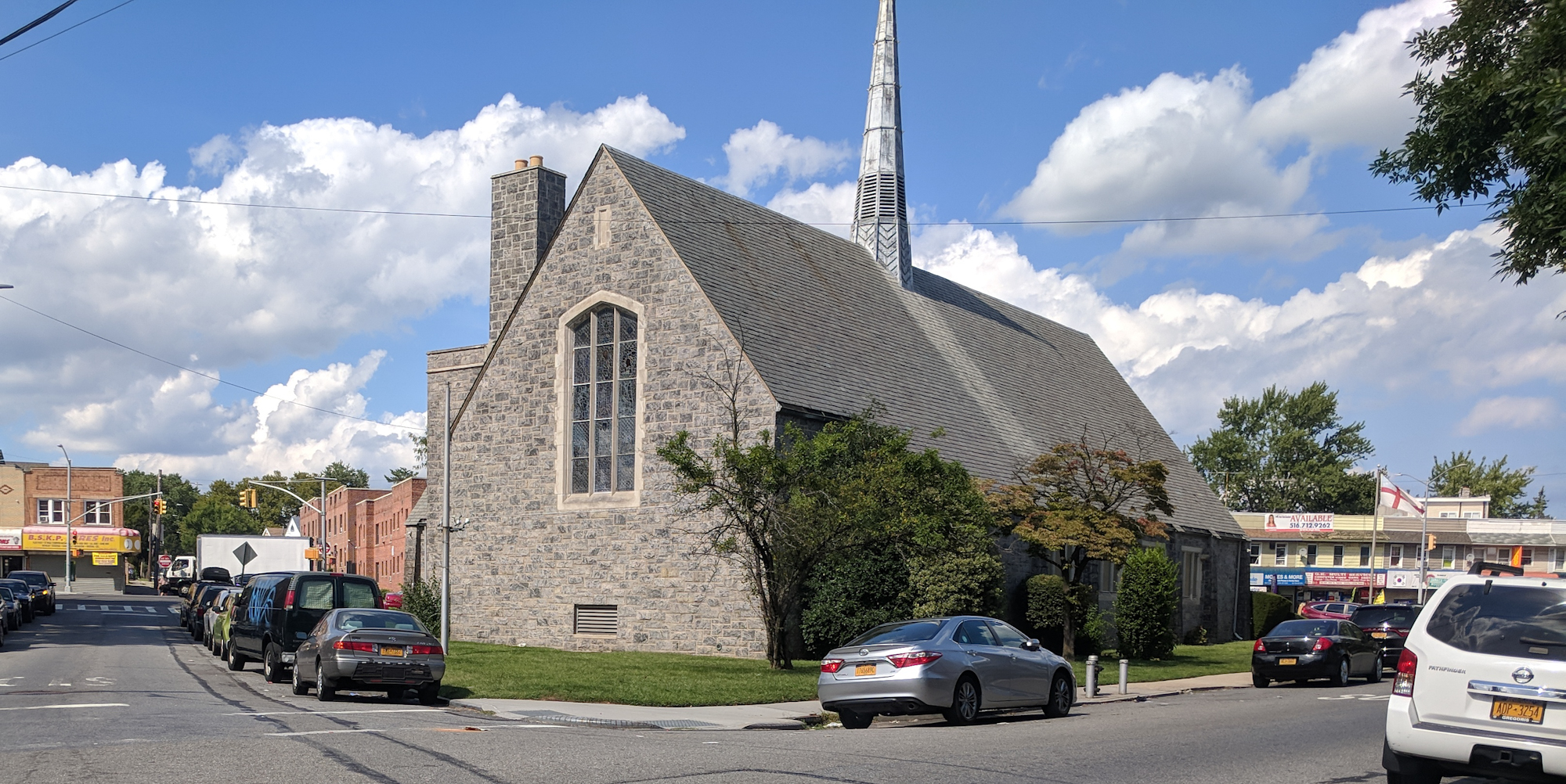
Hollis is a residential middle-class neighborhood within the southeastern section of the New York City borough of Queens. While a predominantly African-American community, there are small minorities of Hispanics and South Asians residing in the area. Boundaries are considered to be 181st Street to the west, Hillside Avenue to the north, Francis Lewis Boulevard to the east, and Murdock Avenue to the south. Hollis is located between Jamaica to the west and Queens Village to the east.
Hollis is located in Queens Community District 12 and its ZIP Codes are 11423 and 11412. It is patrolled by the New York City Police Department's 103rd Precinct. Politically, Hollis is represented by the New York City Council's 23rd and 27th Districts.
The first European settlers were Dutch homesteaders in the 17th century. A century later, early in the American Revolutionary War, it was the site of part of the Battle of Long Island, a battle in which the revolutionary Brigadier General Nathaniel Woodhull was captured at a tavern on what is now Jamaica Avenue. Woodhull Avenue in Hollis is named after him. The area remained rural until 1885, when developers turned 136 acres (55 ha) into houses, and the area is still developed primarily with single-family houses. In 1898, it became a part of New York City with the western towns of Queens County. Since the end of the Korean War, the neighborhood has been settled primarily by African-American families. In recent years, the area has seen a large influx of South Asians and West Indians. The area has a majority of working parents with many early childhood schools in Hollis.
Based on data from the 2010 United States census, the population of Hollis was 20,269, a decrease of 478 (2.3%) from the 26,061 counted in 2000. Covering an area of 525.10 acres (212.50 ha), the neighborhood had a population density of 38.6 inhabitants per acre (24,700/sq mi; 9,500/km2).
The racial makeup of the neighborhood was 64.0% (12,973) African American, 10.7% (2,167) Asian, 2.3% (460) White, 0.6% (126) Native American, 0.1% (20) Pacific Islander, 4.8% (974) from other races, and 4.3% (876) from two or more races. Hispanic or Latino of any race were 13.2% (2,673) of the population.
The entirety of Community Board 12, which mainly comprises Jamaica but also includes Hollis, had 232,911 inhabitants as of NYC Health's 2018 Community Health Profile, with an average life expectancy of 80.5 years. This is slightly lower than the median life expectancy of 81.2 for all New York City neighborhoods. Most inhabitants are youth and middle-aged adults: 22% are between the ages of between 0–17, 27% between 25 and 44, and 27% between 45 and 64. The ratio of college-aged and elderly residents was lower, at 10% and 14% respectively.
As of 2017, the median household income in Community Board 12 was $61,670. In 2018, an estimated 20% of Hollis and Jamaica residents lived in poverty, compared to 19% in all of Queens and 20% in all of New York City. One in eight residents (12%) were unemployed, compared to 8% in Queens and 9% in New York City. Rent burden, or the percentage of residents who have difficulty paying their rent, is 56% in Hollis and Jamaica, higher than the boroughwide and citywide rates of 53% and 51% respectively. Based on this calculation, as of 2018[update], Hollis and Jamaica are considered to be high-income relative to the rest of the city and not gentrifying.
Hollis and Jamaica are patrolled by the 103rd Precinct of the NYPD, located at 168-02 91st Avenue. The 103rd Precinct ranked 51st safest out of 69 patrol areas for per-capita crime in 2010. As of 2018[update], with a non-fatal assault rate of 68 per 100,000 people, Hollis and Jamaica's rate of violent crimes per capita is more than that of the city as a whole. The incarceration rate of 789 per 100,000 people is higher than that of the city as a whole.
Hub AI
Hollis, Queens AI simulator
(@Hollis, Queens_simulator)
Hollis, Queens
Hollis is a residential middle-class neighborhood within the southeastern section of the New York City borough of Queens. While a predominantly African-American community, there are small minorities of Hispanics and South Asians residing in the area. Boundaries are considered to be 181st Street to the west, Hillside Avenue to the north, Francis Lewis Boulevard to the east, and Murdock Avenue to the south. Hollis is located between Jamaica to the west and Queens Village to the east.
Hollis is located in Queens Community District 12 and its ZIP Codes are 11423 and 11412. It is patrolled by the New York City Police Department's 103rd Precinct. Politically, Hollis is represented by the New York City Council's 23rd and 27th Districts.
The first European settlers were Dutch homesteaders in the 17th century. A century later, early in the American Revolutionary War, it was the site of part of the Battle of Long Island, a battle in which the revolutionary Brigadier General Nathaniel Woodhull was captured at a tavern on what is now Jamaica Avenue. Woodhull Avenue in Hollis is named after him. The area remained rural until 1885, when developers turned 136 acres (55 ha) into houses, and the area is still developed primarily with single-family houses. In 1898, it became a part of New York City with the western towns of Queens County. Since the end of the Korean War, the neighborhood has been settled primarily by African-American families. In recent years, the area has seen a large influx of South Asians and West Indians. The area has a majority of working parents with many early childhood schools in Hollis.
Based on data from the 2010 United States census, the population of Hollis was 20,269, a decrease of 478 (2.3%) from the 26,061 counted in 2000. Covering an area of 525.10 acres (212.50 ha), the neighborhood had a population density of 38.6 inhabitants per acre (24,700/sq mi; 9,500/km2).
The racial makeup of the neighborhood was 64.0% (12,973) African American, 10.7% (2,167) Asian, 2.3% (460) White, 0.6% (126) Native American, 0.1% (20) Pacific Islander, 4.8% (974) from other races, and 4.3% (876) from two or more races. Hispanic or Latino of any race were 13.2% (2,673) of the population.
The entirety of Community Board 12, which mainly comprises Jamaica but also includes Hollis, had 232,911 inhabitants as of NYC Health's 2018 Community Health Profile, with an average life expectancy of 80.5 years. This is slightly lower than the median life expectancy of 81.2 for all New York City neighborhoods. Most inhabitants are youth and middle-aged adults: 22% are between the ages of between 0–17, 27% between 25 and 44, and 27% between 45 and 64. The ratio of college-aged and elderly residents was lower, at 10% and 14% respectively.
As of 2017, the median household income in Community Board 12 was $61,670. In 2018, an estimated 20% of Hollis and Jamaica residents lived in poverty, compared to 19% in all of Queens and 20% in all of New York City. One in eight residents (12%) were unemployed, compared to 8% in Queens and 9% in New York City. Rent burden, or the percentage of residents who have difficulty paying their rent, is 56% in Hollis and Jamaica, higher than the boroughwide and citywide rates of 53% and 51% respectively. Based on this calculation, as of 2018[update], Hollis and Jamaica are considered to be high-income relative to the rest of the city and not gentrifying.
Hollis and Jamaica are patrolled by the 103rd Precinct of the NYPD, located at 168-02 91st Avenue. The 103rd Precinct ranked 51st safest out of 69 patrol areas for per-capita crime in 2010. As of 2018[update], with a non-fatal assault rate of 68 per 100,000 people, Hollis and Jamaica's rate of violent crimes per capita is more than that of the city as a whole. The incarceration rate of 789 per 100,000 people is higher than that of the city as a whole.
Recent media