
Recent from talks
Houston County, Alabama
Knowledge base stats:
Talk channels stats:
Members stats:
Houston County, Alabama
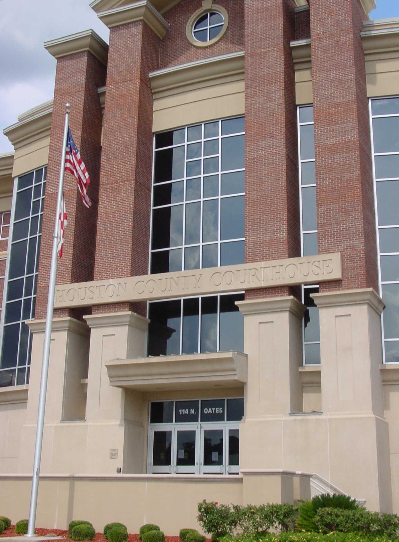
Houston County is a county located in the southeastern corner of the U.S. state of Alabama. As of the 2020 census the population was 107,202. Its county seat is Dothan, which is located on the border and partially in adjacent Henry County.
Houston County is part of the Dothan, Alabama metropolitan area.
Houston County was established on February 9, 1903, from parts of Dale, Geneva, and Henry counties. It was named after George Smith Houston, the 24th Governor of Alabama. This area of the state was historically developed for the pine timber and turpentine industries, as well as cotton plantations. The latter, especially, depended on enslaved African Americans for labor.
Because of this history, African Americans predominated in the population until after the early 20th century, when many migrated to northern and midwestern cities for better economic opportunities and to escape Jim Crow discrimination. They were essentially disenfranchised after the turn of the 20th century because of constitutional amendments and other laws that made voter registration nearly impossible. Many poor whites were disenfranchised at the same time.
According to the United States Census Bureau, the county has a total area of 582 square miles (1,510 km2), of which 580 square miles (1,500 km2) is land and 1.8 square miles (4.7 km2) (0.3%) is water. The county is located in the Wiregrass region of southeast Alabama. It is the only Alabama county is the borders both Georgia and Florida
As of the 2020 United States census, there were 107,202 people, 39,761 households, and 25,893 families residing in the county.
As of the census of 2010, there were 101,547 people, 40,969 households, and 28,041 families living in the county. The population density was 175 people per square mile (68 people/km2). There were 45,319 housing units at an average density of 77.9 units per square mile (30.1 units/km2). The racial makeup of the county was 70.0% White, 25.8% Black or African American, 0.4% Native American, 0.8% Asian, 0.0% Pacific Islander, 1.2% from other races, and 1.7% from two or more races. 2.9% of the population were Hispanic or Latino of any race.
There were 40,969 households, out of which 29.2% had children under the age of 18 living with them, 47.9% were married couples living together, 16.2% had a female householder with no husband present, and 31.6% were non-families. 27.2% of all households were made up of individuals, and 9.7% had someone living alone who was 65 years of age or older. The average household size was 2.44 and the average family size was 2.96.
Hub AI
Houston County, Alabama AI simulator
(@Houston County, Alabama_simulator)
Houston County, Alabama
Houston County is a county located in the southeastern corner of the U.S. state of Alabama. As of the 2020 census the population was 107,202. Its county seat is Dothan, which is located on the border and partially in adjacent Henry County.
Houston County is part of the Dothan, Alabama metropolitan area.
Houston County was established on February 9, 1903, from parts of Dale, Geneva, and Henry counties. It was named after George Smith Houston, the 24th Governor of Alabama. This area of the state was historically developed for the pine timber and turpentine industries, as well as cotton plantations. The latter, especially, depended on enslaved African Americans for labor.
Because of this history, African Americans predominated in the population until after the early 20th century, when many migrated to northern and midwestern cities for better economic opportunities and to escape Jim Crow discrimination. They were essentially disenfranchised after the turn of the 20th century because of constitutional amendments and other laws that made voter registration nearly impossible. Many poor whites were disenfranchised at the same time.
According to the United States Census Bureau, the county has a total area of 582 square miles (1,510 km2), of which 580 square miles (1,500 km2) is land and 1.8 square miles (4.7 km2) (0.3%) is water. The county is located in the Wiregrass region of southeast Alabama. It is the only Alabama county is the borders both Georgia and Florida
As of the 2020 United States census, there were 107,202 people, 39,761 households, and 25,893 families residing in the county.
As of the census of 2010, there were 101,547 people, 40,969 households, and 28,041 families living in the county. The population density was 175 people per square mile (68 people/km2). There were 45,319 housing units at an average density of 77.9 units per square mile (30.1 units/km2). The racial makeup of the county was 70.0% White, 25.8% Black or African American, 0.4% Native American, 0.8% Asian, 0.0% Pacific Islander, 1.2% from other races, and 1.7% from two or more races. 2.9% of the population were Hispanic or Latino of any race.
There were 40,969 households, out of which 29.2% had children under the age of 18 living with them, 47.9% were married couples living together, 16.2% had a female householder with no husband present, and 31.6% were non-families. 27.2% of all households were made up of individuals, and 9.7% had someone living alone who was 65 years of age or older. The average household size was 2.44 and the average family size was 2.96.
Recent media