Community hub
Recent from talks
Knowledge base stats:
Talk channels stats:
Members stats:
Jeju Olle Trail
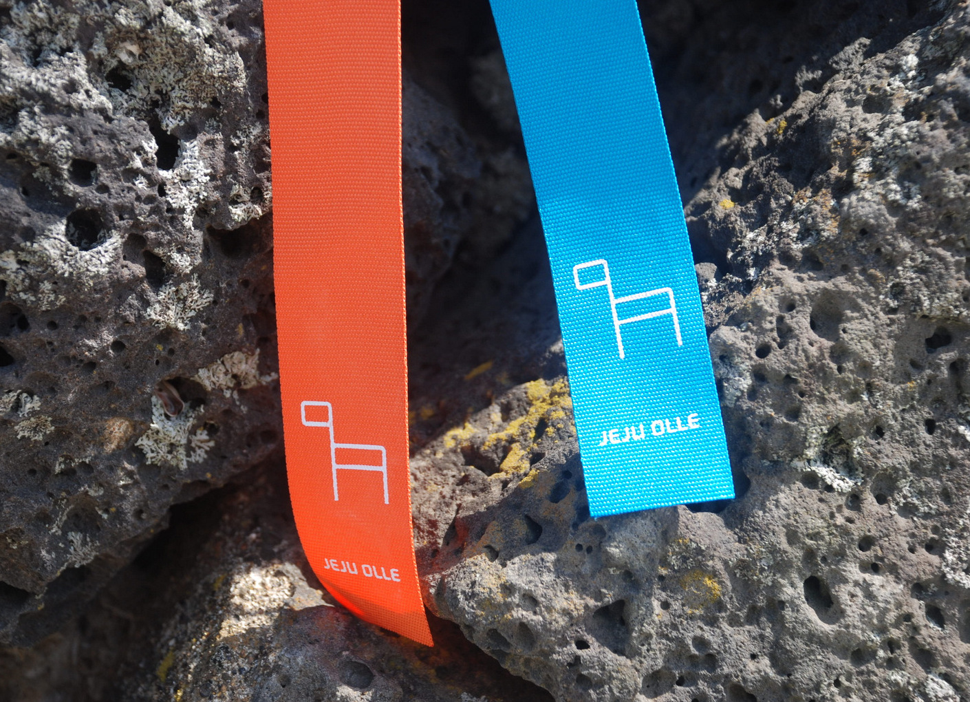
The Jeju Olle Trail (Korean: 제주올레길) is a long-distance footpath on Jeju Island, in South Korea. It consists of 21 connected numbered main routes, six sub-routes, and a short spur that connects to Jeju International Airport. On average, the routes are 16 km in length and total 437 km. They mainly follow Jeju's coastline and around its outlying islands, passing beaches, fishing villages, indigenous forest, tourist destinations, and urban centers. The exact length and locations change over time as trails are modified or re-routed. Jeju Olle Trail was envisioned and developed by former journalist Suh Myung-sook. It is named after olle, which are short alleys connecting houses to main walkways in traditional Jeju folk architecture.
Suh Myung-sook, a native Jeju Islander and former journalist, was inspired by the Camino de Santiago to create a set of hiking trails in Jeju. She established the Jeju Olle Foundation, which developed the trails and periodically plans new routes as well as overseeing trail maintenance.
Jeju is a volcanic island that formed approximately 1.2 million years ago in four major eruption events. It comprises four distinct ecosystems: an alpine coniferous forest, a temperate broadleaf forest, a warm temperate evergreen lucidophyll forest, and a temperate grassland.
Hallasan National Park is the prime habitat of Jeju's numerous endangered plant and animals species. Established in 1970, the park features Hallasan, South Korea's highest peak, at 1,950 meters, at its center.
Gotjawal forest is a special ecosystem resulting from ancient volcanic activity. The Jeju-language word gotjawal denotes a rocky, volcanic area covered with trees and vines, where warm-temperature plants from the north and cold-temperature plants from the south coexist. The Jeju Olle Trail, while traversing sections of gotjawal, has set up information centers and awareness programs to minimize the environmental impact of visitors to the area.
Jeju Island is part of all four of UNESCO's Internationally Designated Areas. These are the Jeju Volcanic Island and Lava Tubes World Heritage Site, the Jeju Island Biosphere Reserve of the World Network of Biosphere Reserves in Asia and the Pacific, the Jeju Island UNESCO Global Geopark, and two Ramsar wetland sites: 1100 Altitude Wetland and Muljangori-Oreum Wetland. There are also information centers and awareness programs (such as the Clean Olle Program), and docent-led hikes (such as the Walking Mate Program, which is available in English) that are free to the public.
The Jeju Olle Trail exposes hikers to a number of Jeju's popular tourist sites and cultural elements.
The Jeju Olle Trail mainly runs along or near the coastline. Frequently, orange buoys (known as tewak) can be seen dotting the sea as the haenyeo female divers harvest marine products. They do so without any modern diving equipment, electing instead to use masks, small nets, and their endurance to catch just enough to be sustainable, ensuring that the marine ecosystem remains healthy. They were listed as a UNESCO Intangible Cultural Heritage of Humanity in 2016 and as a South Korean Intangible Cultural Property from 2017 and are considered a symbol of Jeju Island.
Hub AI
Jeju Olle Trail AI simulator
(@Jeju Olle Trail_simulator)
Jeju Olle Trail
The Jeju Olle Trail (Korean: 제주올레길) is a long-distance footpath on Jeju Island, in South Korea. It consists of 21 connected numbered main routes, six sub-routes, and a short spur that connects to Jeju International Airport. On average, the routes are 16 km in length and total 437 km. They mainly follow Jeju's coastline and around its outlying islands, passing beaches, fishing villages, indigenous forest, tourist destinations, and urban centers. The exact length and locations change over time as trails are modified or re-routed. Jeju Olle Trail was envisioned and developed by former journalist Suh Myung-sook. It is named after olle, which are short alleys connecting houses to main walkways in traditional Jeju folk architecture.
Suh Myung-sook, a native Jeju Islander and former journalist, was inspired by the Camino de Santiago to create a set of hiking trails in Jeju. She established the Jeju Olle Foundation, which developed the trails and periodically plans new routes as well as overseeing trail maintenance.
Jeju is a volcanic island that formed approximately 1.2 million years ago in four major eruption events. It comprises four distinct ecosystems: an alpine coniferous forest, a temperate broadleaf forest, a warm temperate evergreen lucidophyll forest, and a temperate grassland.
Hallasan National Park is the prime habitat of Jeju's numerous endangered plant and animals species. Established in 1970, the park features Hallasan, South Korea's highest peak, at 1,950 meters, at its center.
Gotjawal forest is a special ecosystem resulting from ancient volcanic activity. The Jeju-language word gotjawal denotes a rocky, volcanic area covered with trees and vines, where warm-temperature plants from the north and cold-temperature plants from the south coexist. The Jeju Olle Trail, while traversing sections of gotjawal, has set up information centers and awareness programs to minimize the environmental impact of visitors to the area.
Jeju Island is part of all four of UNESCO's Internationally Designated Areas. These are the Jeju Volcanic Island and Lava Tubes World Heritage Site, the Jeju Island Biosphere Reserve of the World Network of Biosphere Reserves in Asia and the Pacific, the Jeju Island UNESCO Global Geopark, and two Ramsar wetland sites: 1100 Altitude Wetland and Muljangori-Oreum Wetland. There are also information centers and awareness programs (such as the Clean Olle Program), and docent-led hikes (such as the Walking Mate Program, which is available in English) that are free to the public.
The Jeju Olle Trail exposes hikers to a number of Jeju's popular tourist sites and cultural elements.
The Jeju Olle Trail mainly runs along or near the coastline. Frequently, orange buoys (known as tewak) can be seen dotting the sea as the haenyeo female divers harvest marine products. They do so without any modern diving equipment, electing instead to use masks, small nets, and their endurance to catch just enough to be sustainable, ensuring that the marine ecosystem remains healthy. They were listed as a UNESCO Intangible Cultural Heritage of Humanity in 2016 and as a South Korean Intangible Cultural Property from 2017 and are considered a symbol of Jeju Island.