
Community hub
Recent from talks
Contribute something
Nothing was collected or created yet.
Kocaali
View on WikipediaThis article needs additional citations for verification. (December 2009) |
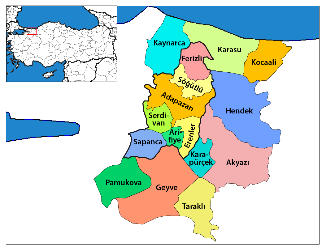
Kocaali is a municipality and district of Sakarya Province, Turkey.[2] Its area is 254 km2,[3] and its population 22,882 (2022).[1] The mayor is Ahmet Acar (AKP).
Key Information


The main sources of income are hazelnuts, livestock and tourism. The town is near the Black Sea coast, and has a 14 km long and 500 meters wide, sandy beach. There are Ottoman-era mines near the river Maden Deresi, a monastery in Şerbetpınar. The Melen river flows into the sea in the east of the district. One of the leading rafting areas in the Marmara region of Turkey, Kocaali is also very suitable for fishing. As a result of the Great Melen Project, water from the river Melen is directed to Istanbul to serve as drinking water.[4] State road D.010 connects Kocaali with Karasu to the west and Akçakoca to the east.
Composition
[edit]There are 36 neighbourhoods in Kocaali District:[5]
- Açmabaşı
- Ağalar
- Akpınar
- Aktaş
- Alandere
- Aydoğan
- Beyler
- Bezirgan
- Caferiye
- Çakmaklı
- Çukurköy
- Demiraçma
- Görele
- Gümüşoluk
- Hızar
- Kadıköy
- Karalar
- Karapelit
- Karşı
- Kestanepınarı
- Kirazlı
- Kızılüzüm
- Koğutpelit
- Köyyeri
- Kozluk
- Küplük
- Melen
- Merkez
- Selahiye
- Şerbetpınar
- Süngüt
- Yalı
- Yalpankaya
- Yanıksayvant
- Yayla
- Yeni
References
[edit]- ^ a b "Address-based population registration system (ADNKS) results dated 31 December 2022, Favorite Reports" (XLS). TÜİK. Retrieved 19 September 2023.
- ^ Büyükşehir İlçe Belediyesi Archived 2023-03-06 at the Wayback Machine, Turkey Civil Administration Departments Inventory. Retrieved 19 September 2023.
- ^ "İl ve İlçe Yüz ölçümleri". General Directorate of Mapping. Retrieved 19 September 2023.
- ^ İlhan, Akgün (8 November 2021). "Istanbul's Water Crisis". Green European Journal.
- ^ Mahalle Archived 2023-03-06 at the Wayback Machine, Turkey Civil Administration Departments Inventory. Retrieved 19 September 2023.
Kocaali in Sakarya Province of Turkey | |||||||||||||||||||||||||||
|---|---|---|---|---|---|---|---|---|---|---|---|---|---|---|---|---|---|---|---|---|---|---|---|---|---|---|---|
| Districts |   | ||||||||||||||||||||||||||
|
Metropolitan municipalities are bolded. | |||||||||||||||||||||||||||