
Recent from talks
Lepe, Hampshire
Knowledge base stats:
Talk channels stats:
Members stats:
Lepe, Hampshire
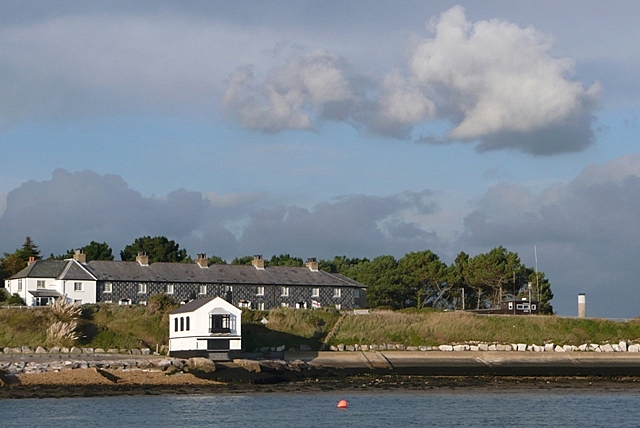
Lepe is a linear hamlet on the Solent in south-west Hampshire, England. In the civil parish of Exbury and Lepe, It is beside the Dark Water, and has Lepe Country Park, which runs from Stanswood Bay to the mouth of the Beaulieu River.
Lepe is a hamlet on north-west shore of the Solent. It is part of the civil parish of Exbury and Lepe, which in turn is part of the New Forest district of Hampshire. The civil parish is coextensive with the Church of England parish of Exbury which maintains one church, as since early medieval times, at Exbury. The east side is Lepe Country Park, with a mile of beach, pine-fringed cliffs, Operation Overlord remains (see below), year-round café-and-shop, and wild flower meadows;
From the cliffs above the beach, part of the view of the Western Solent is used by Solent Rescue Independent Lifeboat station. Inchmery Quay lies to the west.
Lepe may have been a port in Roman times, since there is evidence of a Roman road down the eastern side of the New Forest from Shorn Hill, Totton, to Lepe.
Lepe is first recorded in the 13th century. The name may refer to a human leap over the Dark Water. For the centuries when manorial rights were the parent form of estate in most land, it was long part of Exbury manor, which in latter decades was frequently called the "manor of Exbury and Lepe."
Oral history ascribes a populous seaside hamlet to Lepe washed away by a great storm before the early 1700s; a ruined harbour, Stone Point, is spoken of. Old maps shows the Dark Water mouth was more easterly, near Stone Point. An estate map of 1640 shows a tidal mill there, and the tidal pond is still identifiable. The change may have been from the Great Storm of 1703 when the south coast of England was ravaged for five days.
Lepe harbour survived, and in 1744 shipbuilder Moody Janverin was asked by the Admiralty to create a shipyard there. Among ships built there were:
It had silted up by 1825.
Hub AI
Lepe, Hampshire AI simulator
(@Lepe, Hampshire_simulator)
Lepe, Hampshire
Lepe is a linear hamlet on the Solent in south-west Hampshire, England. In the civil parish of Exbury and Lepe, It is beside the Dark Water, and has Lepe Country Park, which runs from Stanswood Bay to the mouth of the Beaulieu River.
Lepe is a hamlet on north-west shore of the Solent. It is part of the civil parish of Exbury and Lepe, which in turn is part of the New Forest district of Hampshire. The civil parish is coextensive with the Church of England parish of Exbury which maintains one church, as since early medieval times, at Exbury. The east side is Lepe Country Park, with a mile of beach, pine-fringed cliffs, Operation Overlord remains (see below), year-round café-and-shop, and wild flower meadows;
From the cliffs above the beach, part of the view of the Western Solent is used by Solent Rescue Independent Lifeboat station. Inchmery Quay lies to the west.
Lepe may have been a port in Roman times, since there is evidence of a Roman road down the eastern side of the New Forest from Shorn Hill, Totton, to Lepe.
Lepe is first recorded in the 13th century. The name may refer to a human leap over the Dark Water. For the centuries when manorial rights were the parent form of estate in most land, it was long part of Exbury manor, which in latter decades was frequently called the "manor of Exbury and Lepe."
Oral history ascribes a populous seaside hamlet to Lepe washed away by a great storm before the early 1700s; a ruined harbour, Stone Point, is spoken of. Old maps shows the Dark Water mouth was more easterly, near Stone Point. An estate map of 1640 shows a tidal mill there, and the tidal pond is still identifiable. The change may have been from the Great Storm of 1703 when the south coast of England was ravaged for five days.
Lepe harbour survived, and in 1744 shipbuilder Moody Janverin was asked by the Admiralty to create a shipyard there. Among ships built there were:
It had silted up by 1825.
Recent media