
Community hub
Recent from talks
Contribute something
Nothing was collected or created yet.
Manuka State Wayside Park
View on Wikipedia

Key Information


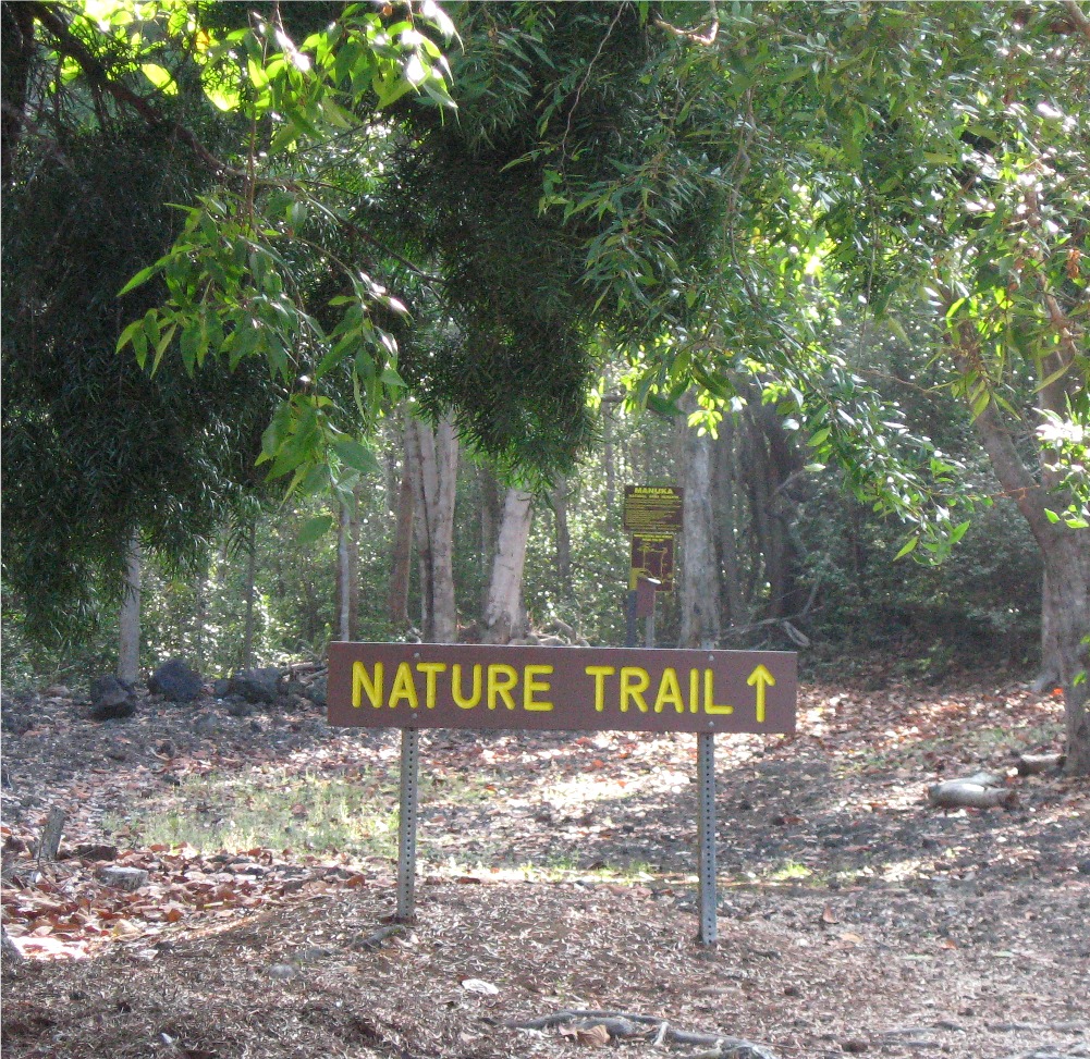
The Manuka State Wayside Park is a state park of 13.4 acres (5.4 ha) with an arboretum located approximately 19 miles (31 km) west of Naʻalehu, on the Mamalahoa Highway (Route 11) section of the Hawaii Belt Road, on the island of Hawaii, Hawaii, coordinates 19°6′33″N 155°49′33″W / 19.10917°N 155.82583°W
The name means "blundering" in the Hawaiian Language, and was the name of the ancient land division (ahupaʻa) that ran from a bay on the southwest side of the island up the slopes of the Mauna Loa volcano.[1] The arboretum of 8 acres (3.2 ha) was originally planted in the mid-19th century with native and introduced plants. It now contains 48 species of native Hawaiian plants and more than 130 species of other exotic plants and flowers, and is surrounded by the 25,550-acre (10,340 ha) Manuka Forest Reserve.[2]
There is also a pit crater on the trail.
Services at the park include restrooms, trash cans, and camping in an open shelter. No drinking water is available at the park.
See also
[edit]References
[edit]- ^ lookup of Manuka on Hawaiian place names web site
- ^ Manuka Forest Reserve description on state of Hawaii web site
External links
[edit]
This Hawaiʻi state location article is a stub. You can help Wikipedia by adding missing information. |
This article related to a garden in the United States is a stub. You can help Wikipedia by adding missing information. |
This arboretum article is a stub. You can help Wikipedia by adding missing information. |