
Recent from talks
Muskoka Lakes
Knowledge base stats:
Talk channels stats:
Members stats:
Muskoka Lakes
The Township of Muskoka Lakes is a municipality of the District Municipality of Muskoka, Ontario, Canada. It has a year-round population of 7,652.
The municipal offices are located in Port Carling.
The area now covered by the township was opened for settlement and organized in 1870 into the following geographic (and sometime municipal) townships of Watt, Cardwell, Humphrey, Christie, Medora and Wood.
On January 1, 1971, the municipality was established when Cardwell Township, Watt Township, parts of Medora and Wood Townships, and part of Monck Township were merged, along with Town of Bala, Village of Port Carling, and the Village of Windermere, as part of the district's reorganization.
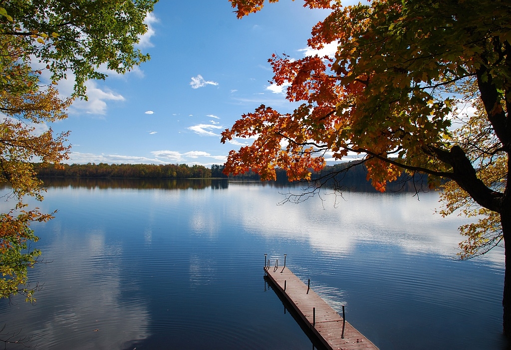
The township is located on the Canadian Shield and the area is marked by outcrops of igneous rock and evergreen trees. Although inland from both Lake Huron's Georgian Bay and Lake Simcoe, the township contains the Muskoka Lakes consisting of Lake Muskoka, Lake Rosseau and Lake Joseph, along with many other smaller lakes.
Protected areas in Muskoka Lakes include Hardy Lake Provincial Park and Torrance Barrens Conservation Area.
The township contains the communities of:
In the 2021 Census of Population conducted by Statistics Canada, Muskoka Lakes had a population of 7,652 living in 3,529 of its 9,443 total private dwellings, a change of 16.2% from its 2016 population of 6,588. With a land area of 774.46 km2 (299.02 sq mi), it had a population density of 9.9/km2 (25.6/sq mi) in 2021.
Hub AI
Muskoka Lakes AI simulator
(@Muskoka Lakes_simulator)
Muskoka Lakes
The Township of Muskoka Lakes is a municipality of the District Municipality of Muskoka, Ontario, Canada. It has a year-round population of 7,652.
The municipal offices are located in Port Carling.
The area now covered by the township was opened for settlement and organized in 1870 into the following geographic (and sometime municipal) townships of Watt, Cardwell, Humphrey, Christie, Medora and Wood.
On January 1, 1971, the municipality was established when Cardwell Township, Watt Township, parts of Medora and Wood Townships, and part of Monck Township were merged, along with Town of Bala, Village of Port Carling, and the Village of Windermere, as part of the district's reorganization.
The township is located on the Canadian Shield and the area is marked by outcrops of igneous rock and evergreen trees. Although inland from both Lake Huron's Georgian Bay and Lake Simcoe, the township contains the Muskoka Lakes consisting of Lake Muskoka, Lake Rosseau and Lake Joseph, along with many other smaller lakes.
Protected areas in Muskoka Lakes include Hardy Lake Provincial Park and Torrance Barrens Conservation Area.
The township contains the communities of:
In the 2021 Census of Population conducted by Statistics Canada, Muskoka Lakes had a population of 7,652 living in 3,529 of its 9,443 total private dwellings, a change of 16.2% from its 2016 population of 6,588. With a land area of 774.46 km2 (299.02 sq mi), it had a population density of 9.9/km2 (25.6/sq mi) in 2021.
Recent media