
Community hub
Recent from talks
Contribute something
Nothing was collected or created yet.
Oklan
View on Wikipedia| Oklan Оклан / Ыӄлан | |
|---|---|
 Mouth location in Kamchatka Krai | |
| Location | |
| Country | Russia |
| Federal subject | Kamchatka Krai |
| District | Penzhinsky District |
| Physical characteristics | |
| Source | |
| • location | Ichigem Range Koryak Highlands |
| • coordinates | 63°34′36″N 163°43′03″E / 63.57667°N 163.71750°E |
| • elevation | 540 metres (1,770 ft) |
| Mouth | Penzhina |
• coordinates | 62°33′11″N 166°32′50″E / 62.55306°N 166.54722°E |
• elevation | 23 metres (75 ft) |
| Length | 272 km (169 mi) |
| Basin size | 12,600 km2 (4,900 sq mi) |
| Discharge | |
| • average | 138 m3/s (4,900 cu ft/s) |
The Oklan (Russian: Оклан; Koryak: Ыӄлан) is a river in Kamchatka Krai, Russia. The length of the river is 272 kilometres (169 mi) and the area of is drainage basin 12,600 square kilometres (4,900 sq mi).[1] It is the second most important tributary of the Penzhina after the Belaya.
The name of the river comes from the Koryak "yalan" (Ыӄлан), meaning "icy way".[2]
History
[edit]Russian Cossack explorers reached the Oklan river basin in the 17th century and built the Aklansk fort. The fort was abandoned in 1804. At that time the indigenous Koryaks were engaged in reindeer herding and fishing. The settlement was revived in the 20th century as a state farm dedicated to reindeer-breeding.[3]
Course
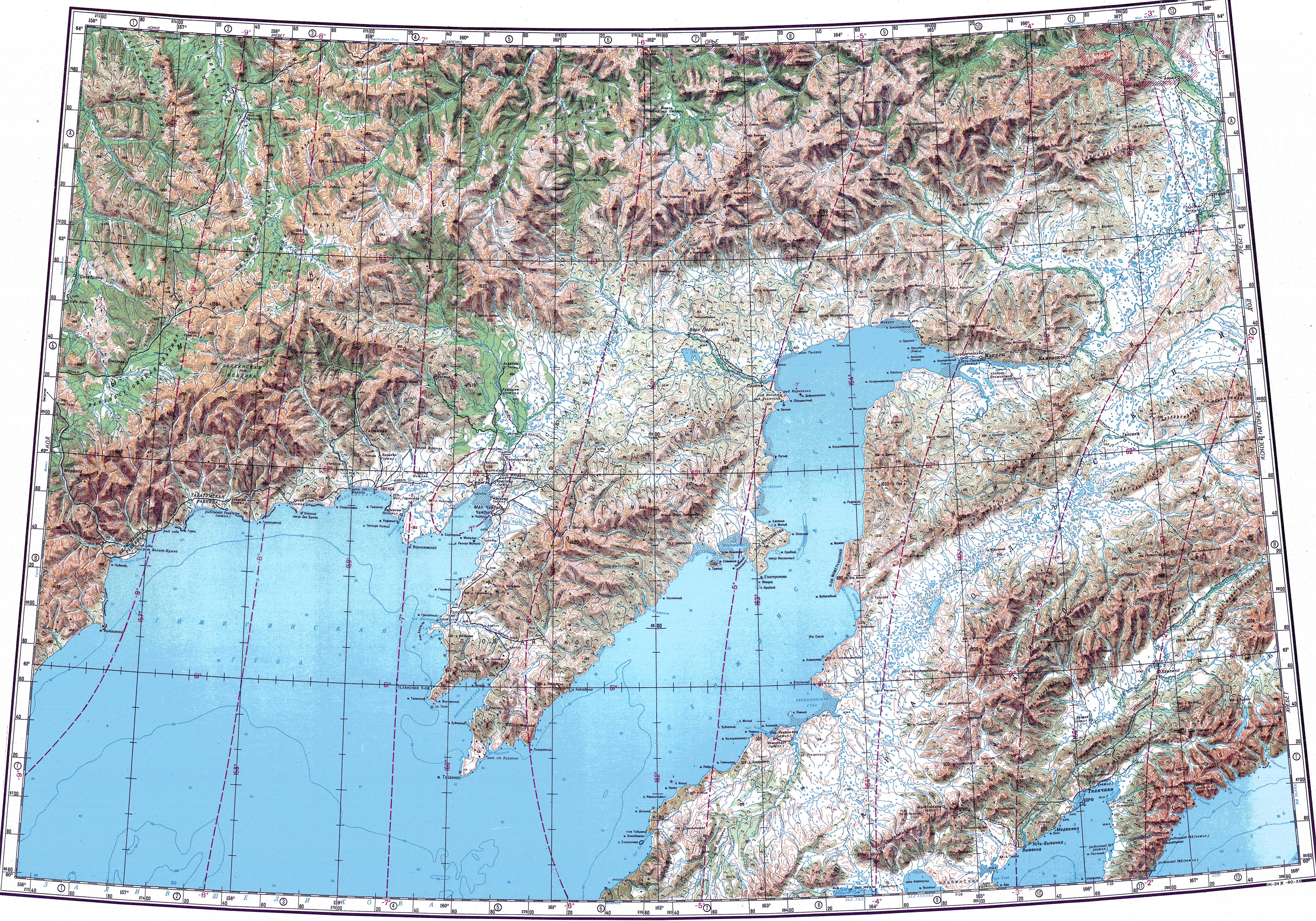
[edit]The Oklan has its source in Mount Stolovaya, located in the western part of the Ichigem Range, at the NW end of the Koryak Highlands. It flows roughly eastwards along the southern limits of the range area, descending into a swampy floodplain with numerous small lakes where it splits into branches. Finally it meets the right bank of the Penzhina 97 km (60 mi) from its mouth in the Bering Sea.[4][5][3]
The river is fed mainly by snow and freezes in October, staying under thick ice until May. The melting of the ice in the river valley continues during the summer period. The main tributaries of the Oklan are the 62 km (39 mi) long Khayoklam (Хайоклан) from the right and the 91 km (57 mi) long Bolshoy Chalbugchan (Хайоклан) from the left.[1]
 |
Flora and fauna
[edit]The Oklan river basin is characterized by discontinuous permafrost with tundra vegetation, including mosses, lichens, dwarf shrubs, and sedges.[6] There are birches and poplars growing along the river banks in the floodplain.[3]
Among the fish species in the river the pike and the grayling deserve mention.[3]
See also
[edit]References
[edit]- ^ a b "Река Оклан in the State Water Register of Russia". textual.ru (in Russian).
- ^ Leontiev V.V. , Novikova K.A. Toponymic dictionary of the North-East of the USSR / scientific. ed. G. A. Menovshchikov ; FEB AS USSR . North-East complex. Research Institute. Lab. archeology, history and ethnography. - Magadan: Magadan . book. publishing house , 1989. - S. 290. - 456 p. — ISBN 5-7581-0044-7
- ^ a b c d Water of Russia - Оклан
- ^ "Топографска карта P-57_58 - Topographic USSR Chart (in Russian)". Retrieved 24 February 2022.
- ^ Google Earth
- ^ V. Yu. Neshataeva, Vegetation cover of the North of the Kamchatka Okrug (Kamchatsky Krai) and its geobotanical zoning // Ecology and geography of plants and plant communities: Proceedings of the IV International Scientific Conference. - Yekaterinburg, 2018. - April 16. — ISBN 978-5-7741-0341-6
External links
[edit]- Проект переселения «Пенжинский муниципальный район» Общая характеристика (стр. 1 )
- Kamchatka Krai travel guide
This Kamchatka Krai location article is a stub. You can help Wikipedia by expanding it. |
This article related to a river in the Russian Far East is a stub. You can help Wikipedia by expanding it. |