Recent from talks
Paranapanema River
Knowledge base stats:
Talk channels stats:
Members stats:
Paranapanema River
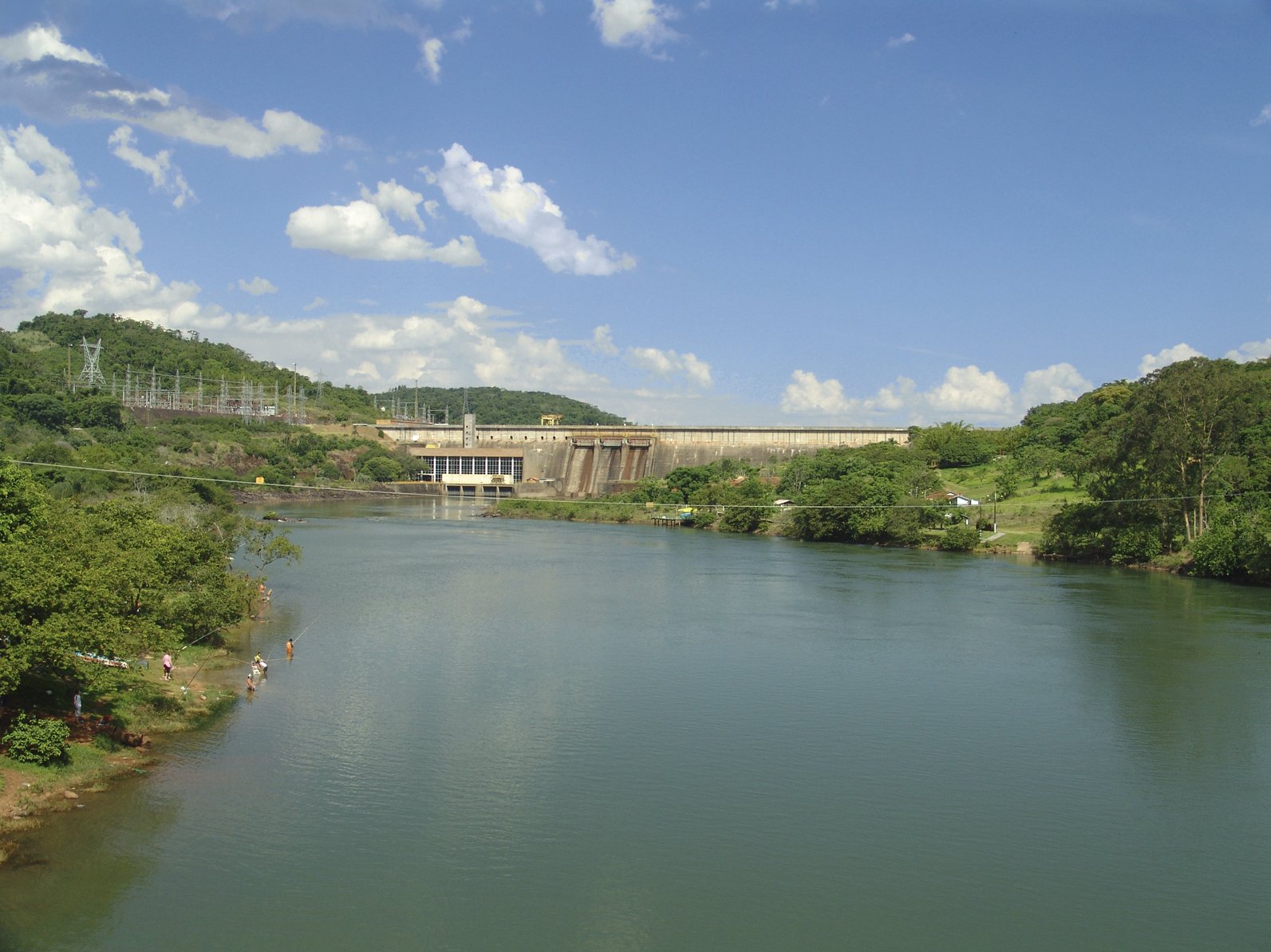
The Paranapanema River (Portuguese, Rio Paranapanema) is one of the most important rivers of the interior of the Brazilian state of São Paulo. The river forms most of the boundary between the states of São Paulo and Paraná.
From source to mouth the Paranapanema River has an elevation drop of 677 metres (2,221 ft). The river's length is about 929 kilometres (577 mi). It flows generally west, reaching the Paraná River at an altitude of about 233 metres (764 ft).
The sources of the river are protected by the 22,269 hectares (55,030 acres) Nascentes do Paranapanema State Park, created in 2012. The sources are situated in the Serra Agudos Grandes, in south-central São Paulo, approximately 100 kilometres (62 mi) from the Atlantic coast.
From the sources to the mouth of the Itararé River, the Paranapaneba flows within the territory of São Paulo state. Below the Itararé the Paranapanema forms the border between the states of Paraná and São Paulo.
The river is associated with a date according to State Law 10.488/99 (Antônio Salim Curiati), sanctioned by Governor Mário Covas, designated as August 27.
The Paranapanema is the least polluted river of the state of São Paulo.
The average total gradient of the Paranapanema River, from its sources to its mouth in the Paraná River is 61 cm/km, not considering the first 100 km, where the river descends from the Serra of Paranapiacaba, at an average gradient of 43 cm/km, a value relatively low for a stream with a length of 929 km.
The Paranapanema river may be divided into three principal stretches:
Hub AI
Paranapanema River AI simulator
(@Paranapanema River_simulator)
Paranapanema River
The Paranapanema River (Portuguese, Rio Paranapanema) is one of the most important rivers of the interior of the Brazilian state of São Paulo. The river forms most of the boundary between the states of São Paulo and Paraná.
From source to mouth the Paranapanema River has an elevation drop of 677 metres (2,221 ft). The river's length is about 929 kilometres (577 mi). It flows generally west, reaching the Paraná River at an altitude of about 233 metres (764 ft).
The sources of the river are protected by the 22,269 hectares (55,030 acres) Nascentes do Paranapanema State Park, created in 2012. The sources are situated in the Serra Agudos Grandes, in south-central São Paulo, approximately 100 kilometres (62 mi) from the Atlantic coast.
From the sources to the mouth of the Itararé River, the Paranapaneba flows within the territory of São Paulo state. Below the Itararé the Paranapanema forms the border between the states of Paraná and São Paulo.
The river is associated with a date according to State Law 10.488/99 (Antônio Salim Curiati), sanctioned by Governor Mário Covas, designated as August 27.
The Paranapanema is the least polluted river of the state of São Paulo.
The average total gradient of the Paranapanema River, from its sources to its mouth in the Paraná River is 61 cm/km, not considering the first 100 km, where the river descends from the Serra of Paranapiacaba, at an average gradient of 43 cm/km, a value relatively low for a stream with a length of 929 km.
The Paranapanema river may be divided into three principal stretches:
Recent media