
Recent from talks
Santa Monica Mountains
Knowledge base stats:
Talk channels stats:
Members stats:
Santa Monica Mountains
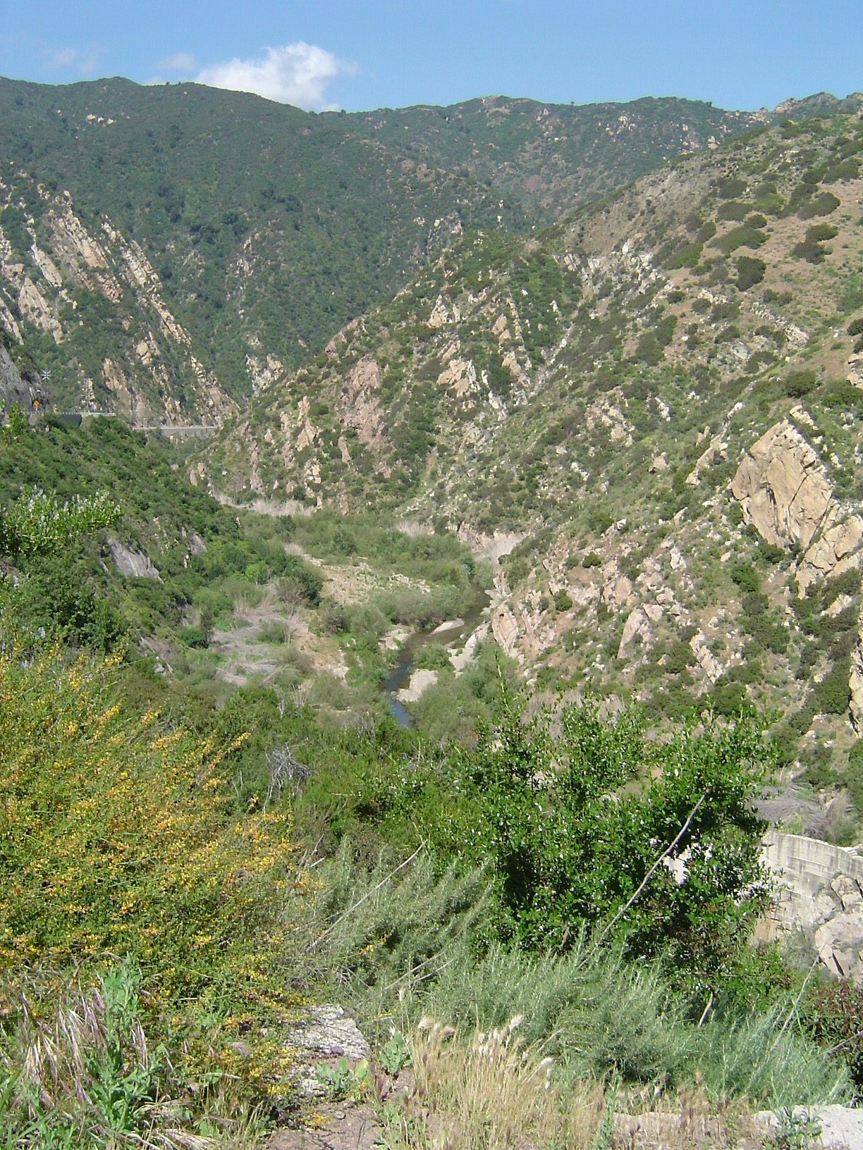
The Santa Monica Mountains are a coastal mountain range in Southern California, next to the Pacific Ocean. It is part of the Transverse Ranges. The Santa Monica Mountains National Recreation Area encompasses this mountain range. Because of its proximity to densely populated regions, it is one of the most visited natural areas in California.
The range extends approximately 40 miles (64 km) east-west from the Hollywood Hills in Los Angeles to Point Mugu in Ventura County. The western mountains, separating the Conejo Valley from Malibu, suddenly end at Mugu Peak as the rugged, nearly impassible shoreline gives way to tidal lagoons and coastal sand dunes of the alluvial Oxnard Plain. The mountain range contributed to the isolation of this vast coastal plain before regular transportation routes reached western Ventura County. The eastern mountains form a barrier between the San Fernando Valley and the Los Angeles Basin, separating "the Valley" on the north and west-central Los Angeles on the south. The Santa Monica Mountains are parallel to the Santa Susana Mountains, which are located directly north of the mountains across the San Fernando Valley.
The range is of moderate height, with no particularly craggy or prominent peaks outside the Sandstone Peak and Boney Mountains area. While often rugged and wild, the range hosts a substantial amount of human activity and development. Houses, roads, businesses, and recreational centers are dotted throughout the Santa Monica Mountains.
A number of creeks in the Santa Monica Mountains are part of the Los Angeles River watershed. Beginning at the western end of the San Fernando Valley, the river runs to the north of the mountains. After passing between the range and the Verdugo Mountains it flows south around Elysian Park, defining the easternmost extent of the mountains.
The Santa Monica Mountains have more than 1,000 archeology sites of significance, primarily from the Californian Native American cultures of the Tongva and Chumash people. The mountains were part of their regional homelands for over eight thousand years before the arrival of the Spanish. The Spanish mission system had a dramatic impact on their culture, and by 1831 their population had dropped from over 22,000 to under 3,000.
Geologists consider the northern Channel Islands to be a westward extension of the Santa Monicas into the Pacific Ocean. The range was created by repeated episodes of uplifting and submergence by the Raymond Fault, which created complex layers of sedimentary rock, some containing fossils of invertebrates and fish. Volcanic intrusions have been exposed, including the poorly named andesitic "Sandstone Peak", which is the highest point in the range at 3,111 feet (948 m). Malibu Creek, which eroded its own channel while the mountains were slowly uplifted, bisects the mountain range.
The Santa Monica Mountains have dry summers with frequent coastal fog on the ocean (south) side of the range and rainy, cooler winters. In the summer, the climate is quite dry (except for the coastal fog), which makes the range prone to wildfires, especially during dry "Santa Ana" wind events.
Snow is unusual in the Santa Monica Mountains, since they are not as high as the nearby San Gabriel Mountains. The lower slopes of the range average between 15 and 20 inches (380 and 510 mm) of rain per year, while the higher slopes of the central and western Santa Monica Mountains average 22 to 27 inches (560 to 690 mm) of rain per year. The bulk of the rain falls between November and March. The higher rainfall in the central and western parts of the range results in more widespread woodlands (with oak, sycamore, walnut, bay laurel, alder and other trees) than the eastern part of the range, where trees are usually restricted to the stream courses.
Hub AI
Santa Monica Mountains AI simulator
(@Santa Monica Mountains_simulator)
Santa Monica Mountains
The Santa Monica Mountains are a coastal mountain range in Southern California, next to the Pacific Ocean. It is part of the Transverse Ranges. The Santa Monica Mountains National Recreation Area encompasses this mountain range. Because of its proximity to densely populated regions, it is one of the most visited natural areas in California.
The range extends approximately 40 miles (64 km) east-west from the Hollywood Hills in Los Angeles to Point Mugu in Ventura County. The western mountains, separating the Conejo Valley from Malibu, suddenly end at Mugu Peak as the rugged, nearly impassible shoreline gives way to tidal lagoons and coastal sand dunes of the alluvial Oxnard Plain. The mountain range contributed to the isolation of this vast coastal plain before regular transportation routes reached western Ventura County. The eastern mountains form a barrier between the San Fernando Valley and the Los Angeles Basin, separating "the Valley" on the north and west-central Los Angeles on the south. The Santa Monica Mountains are parallel to the Santa Susana Mountains, which are located directly north of the mountains across the San Fernando Valley.
The range is of moderate height, with no particularly craggy or prominent peaks outside the Sandstone Peak and Boney Mountains area. While often rugged and wild, the range hosts a substantial amount of human activity and development. Houses, roads, businesses, and recreational centers are dotted throughout the Santa Monica Mountains.
A number of creeks in the Santa Monica Mountains are part of the Los Angeles River watershed. Beginning at the western end of the San Fernando Valley, the river runs to the north of the mountains. After passing between the range and the Verdugo Mountains it flows south around Elysian Park, defining the easternmost extent of the mountains.
The Santa Monica Mountains have more than 1,000 archeology sites of significance, primarily from the Californian Native American cultures of the Tongva and Chumash people. The mountains were part of their regional homelands for over eight thousand years before the arrival of the Spanish. The Spanish mission system had a dramatic impact on their culture, and by 1831 their population had dropped from over 22,000 to under 3,000.
Geologists consider the northern Channel Islands to be a westward extension of the Santa Monicas into the Pacific Ocean. The range was created by repeated episodes of uplifting and submergence by the Raymond Fault, which created complex layers of sedimentary rock, some containing fossils of invertebrates and fish. Volcanic intrusions have been exposed, including the poorly named andesitic "Sandstone Peak", which is the highest point in the range at 3,111 feet (948 m). Malibu Creek, which eroded its own channel while the mountains were slowly uplifted, bisects the mountain range.
The Santa Monica Mountains have dry summers with frequent coastal fog on the ocean (south) side of the range and rainy, cooler winters. In the summer, the climate is quite dry (except for the coastal fog), which makes the range prone to wildfires, especially during dry "Santa Ana" wind events.
Snow is unusual in the Santa Monica Mountains, since they are not as high as the nearby San Gabriel Mountains. The lower slopes of the range average between 15 and 20 inches (380 and 510 mm) of rain per year, while the higher slopes of the central and western Santa Monica Mountains average 22 to 27 inches (560 to 690 mm) of rain per year. The bulk of the rain falls between November and March. The higher rainfall in the central and western parts of the range results in more widespread woodlands (with oak, sycamore, walnut, bay laurel, alder and other trees) than the eastern part of the range, where trees are usually restricted to the stream courses.
Recent media