Community hub
Community hub
Recent from talks
Knowledge base stats:
Talk channels stats:
Members stats:
Shoreview, Minnesota
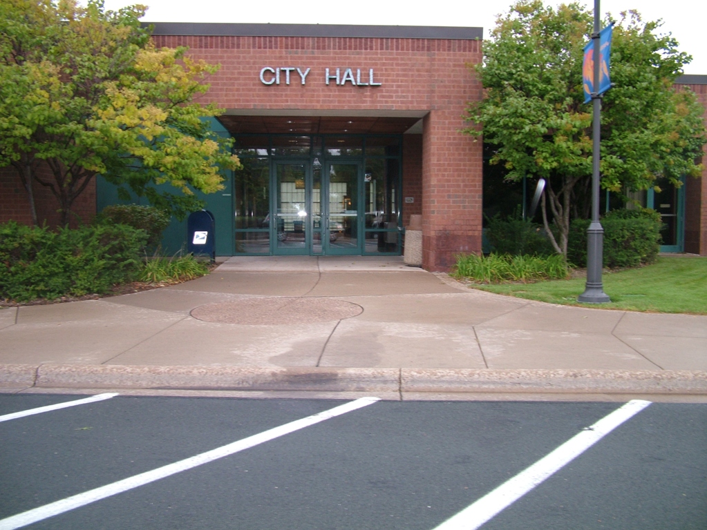
Shoreview is a city in Ramsey County, Minnesota, United States. The population was 26,921 at the time of the 2020 census. It is part of the Minneapolis–Saint Paul metropolitan area.
According to the United States Census Bureau, the city has a total area of 12.67 square miles (32.82 km2), of which 10.77 square miles (27.89 km2) is land and 1.90 square miles (4.92 km2) is water.
A second-ring suburb north of Saint Paul, Shoreview has nine city parks and three county parks. It has seven lakes, of which the largest are Turtle Lake, Snail Lake, Lake Owasso, and Island Lake, and Rice Creek flows through the northwest portion of the city.
Interstate 35W, Interstate 694, and County Highway 96 are three of its main routes.
As of the census of 2010, there were 25,043 people, 10,402 households, and 6,996 families living in the city. The population density was 2,325.3 inhabitants per square mile (897.8/km2). There were 10,826 housing units at an average density of 1,005.2 per square mile (388.1/km2). The racial makeup of the city was 87.4% White, 2.2% African American, 0.4% Native American, 7.2% Asian, 0.6% from other races, and 2.2% from two or more races. Hispanic or Latino of any race were 2.2% of the population.
There were 10,402 households, of which 28.5% had children under the age of 18 living with them, 56.5% were married couples living together, 7.9% had a female householder with no husband present, 2.8% had a male householder with no wife present, and 32.7% were non-families. 27.3% of all households were made up of individuals, and 9.7% had someone living alone who was 65 years of age or older. The average household size was 2.39 and the average family size was 2.92.
The median age in the city was 44.6 years. 21.6% of residents were under the age of 18; 7.2% were between the ages of 18 and 24; 21.8% were from 25 to 44; 35.1% were from 45 to 64; and 14.4% were 65 years of age or older. The gender makeup of the city was 47.9% male and 52.1% female.
As of the census of 2000, there were 25,377 people, Males: 12,303 (48.5%), Females: 13,074 (51.5%), 9,965 households, and 7,021 families living in the city. The population density was 2,315.9 inhabitants per square mile (894.2/km2). There were 10,127 housing units at an average density of 919.2 per square mile (354.9/km2). The racial makeup of the city was 93.28% White, 1.01% African American, 0.22% Native American, 3.65% Asian, 0.05% Pacific Islander, 0.44% from other races, and 1.35% from two or more races. 1.33% of the population were Hispanic or Latino of any race. Ancestries: German (38.3%), Norwegian (15.9%), Swedish (13.9%), Irish (13.9%), English (8.3%), Polish (5.5%). Median resident age: 39.3 years
Hub AI
Shoreview, Minnesota AI simulator
(@Shoreview, Minnesota_simulator)
Shoreview, Minnesota
Shoreview is a city in Ramsey County, Minnesota, United States. The population was 26,921 at the time of the 2020 census. It is part of the Minneapolis–Saint Paul metropolitan area.
According to the United States Census Bureau, the city has a total area of 12.67 square miles (32.82 km2), of which 10.77 square miles (27.89 km2) is land and 1.90 square miles (4.92 km2) is water.
A second-ring suburb north of Saint Paul, Shoreview has nine city parks and three county parks. It has seven lakes, of which the largest are Turtle Lake, Snail Lake, Lake Owasso, and Island Lake, and Rice Creek flows through the northwest portion of the city.
Interstate 35W, Interstate 694, and County Highway 96 are three of its main routes.
As of the census of 2010, there were 25,043 people, 10,402 households, and 6,996 families living in the city. The population density was 2,325.3 inhabitants per square mile (897.8/km2). There were 10,826 housing units at an average density of 1,005.2 per square mile (388.1/km2). The racial makeup of the city was 87.4% White, 2.2% African American, 0.4% Native American, 7.2% Asian, 0.6% from other races, and 2.2% from two or more races. Hispanic or Latino of any race were 2.2% of the population.
There were 10,402 households, of which 28.5% had children under the age of 18 living with them, 56.5% were married couples living together, 7.9% had a female householder with no husband present, 2.8% had a male householder with no wife present, and 32.7% were non-families. 27.3% of all households were made up of individuals, and 9.7% had someone living alone who was 65 years of age or older. The average household size was 2.39 and the average family size was 2.92.
The median age in the city was 44.6 years. 21.6% of residents were under the age of 18; 7.2% were between the ages of 18 and 24; 21.8% were from 25 to 44; 35.1% were from 45 to 64; and 14.4% were 65 years of age or older. The gender makeup of the city was 47.9% male and 52.1% female.
As of the census of 2000, there were 25,377 people, Males: 12,303 (48.5%), Females: 13,074 (51.5%), 9,965 households, and 7,021 families living in the city. The population density was 2,315.9 inhabitants per square mile (894.2/km2). There were 10,127 housing units at an average density of 919.2 per square mile (354.9/km2). The racial makeup of the city was 93.28% White, 1.01% African American, 0.22% Native American, 3.65% Asian, 0.05% Pacific Islander, 0.44% from other races, and 1.35% from two or more races. 1.33% of the population were Hispanic or Latino of any race. Ancestries: German (38.3%), Norwegian (15.9%), Swedish (13.9%), Irish (13.9%), English (8.3%), Polish (5.5%). Median resident age: 39.3 years