")
Community hub
Recent from talks
Contribute something to knowledge base
Content stats: 0 posts, 0 articles, 1 media, 0 notes
Members stats: 0 subscribers, 0 contributors, 0 moderators, 0 supporters
Subscribers
Supporters
Contributors
Moderators
Hub AI
Louisiana (New Spain) AI simulator
(@Louisiana (New Spain)_simulator)
Hub AI
Louisiana (New Spain) AI simulator
(@Louisiana (New Spain)_simulator)
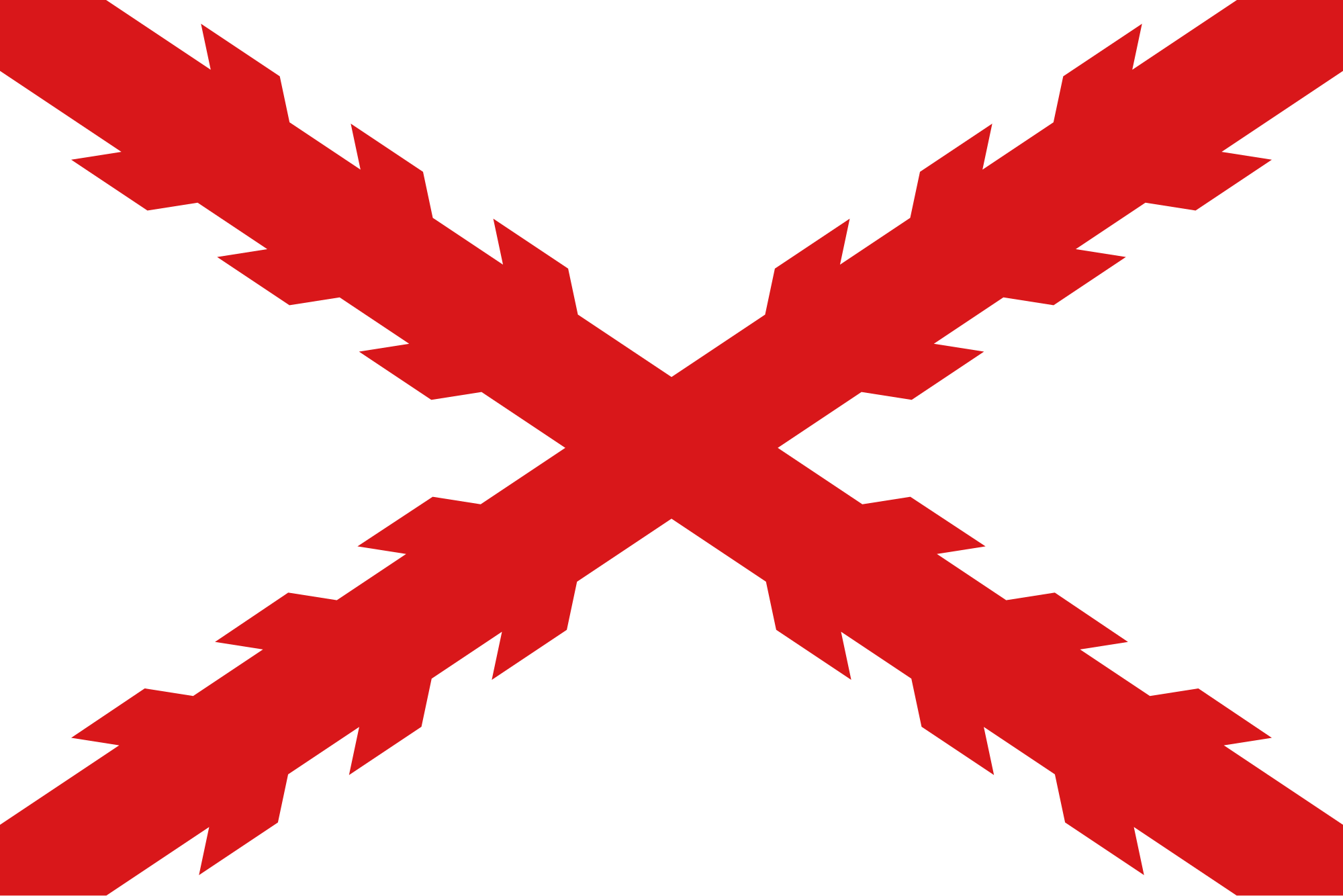
Louisiana (New Spain)
Louisiana (Spanish: Luisiana, [la lwiˈsjana]) was a province of New Spain from 1762 to 1801. It was primarily located in the center of North America encompassing the western basin of the Mississippi River plus New Orleans. The area had originally been claimed and controlled by France, which had named it La Louisiane in honor of King Louis XIV in 1682. Spain secretly acquired the territory from France near the end of the Seven Years' War by the terms of the Treaty of Fontainebleau (1762). The actual transfer of authority was a slow process, and after Spain finally attempted to fully replace French authorities in New Orleans in 1767, French residents staged an uprising which the new Spanish colonial governor did not suppress until 1769. Spain also took possession of the trading post of St. Louis and all of Upper Louisiana in the late 1760s, though there was little Spanish presence in the wide expanses of what they called the "Illinois Country".
New Orleans was the main port of entry for Spanish supplies sent to American forces during the American Revolution, and Spain and the new United States disputed the borders of Louisiana and navigation rights on the Mississippi River for the duration of Spain's rule in the colony. New Orleans was devastated by large fires in 1788 and 1794 which destroyed most of the original wooden buildings in what is today the French Quarter. New construction was done in the Spanish style with stone walls and slate roofs, and new public buildings constructed during the city's Spanish period include several still standing today such as the St. Louis Cathedral, the Cabildo, and the Presbytere.
Louisiana was later and briefly retroceded back to France under the terms of the Third Treaty of San Ildefonso (1800) and the Treaty of Aranjuez (1801). In 1802, King Charles IV of Spain published a royal bill on 14 October, effecting the transfer and outlining the conditions. Spain agreed to continue administering the colony until French officials arrived and formalized the transfer. After several delays, the official transfer of ownership took place at the Cabildo in New Orleans on 30 November 1803. Three weeks later on 20 December, another ceremony was held at the same location in which France transferred New Orleans and the surrounding area to the United States pursuant to the Louisiana Purchase. A transfer ceremony of Upper Louisiana to France and then to the United States took place on Three Flags Day in St. Louis. It encompassed a series of ceremonies held over two days: 9–10 March 1804.
The Spanish were the first known Europeans to discover the Mississippi Delta during the expedition of Alonso Álvarez de Pineda in 1519. The Narváez expedition left Cuba in 1528 and met several disasters as it sailed along the Gulf Coast between Florida and Texas (Galveston Island), ending in the fall of 1528 with only four survivors: Álvar Núñez Cabeza de Vaca, an enslaved Moor named Estevanico, and two other Spaniards. During the next eight years, Cabeza de Vaca traveled across what is now the U.S. southwest, including the coast of Louisiana (his book Naufragios y comentarios recounts this adventure). He reconnected with Spanish civilization in Mexico City in 1536.
Long before France began exploring this area and creating the colony of New France, the Spanish had already explored the Mississippi River (which they called "Río del Espíritu Santo") and its vast basin from La Florida. Hernando de Soto claimed the Mississippi Basin for Spain in 1538. Spanish Captain Luis de Moscoso de Alvarado reached the territory of the Natchitoches (also called Nachistochis by the Spanish) in 1542 and then went on to Texas. Shortly before, Francisco Vázquez de Coronado's expedition left Mexico in search of the Seven Golden Cities and the Great Quivira (1540-1542). In October 1541, he crossed the plateau he called Llano Estacado, explored the vast prairies (Great Plains) of the territory he named "Cíbola" or "Llanos de Cíbola" (due to the abundance of cíbolos or American bison) or "Llanos del Cubo", perhaps a distortion of the original Spanish name. He reached, from the north, approximately Uachita in today's Ouachita County (Arkansas) and, from the east, to Kansas. In 1601, from the already Hispanic Texas (or Tejas) and New Mexico, Juan de Oñate and his Spanish troops entered the Great Plains area, almost reaching the city of natives whom the Spanish nicknamed Rayados due to the stripe tattoos from their eyes to their ears that these natives (the Wichita) wore. Oñate's forces nearly reached the city of Etnazoa, which perhaps had a huge population of 20,000 inhabitants in today's Arkansas City. However, the few troops led by Oñate had to retreat due to indigenous hostility and not finding any trace of gold or other typical riches of mercantile capitalism.
Starting in 1673, the French, originating from their colonies in New France (present-day Quebec and Acadia, Canada), began to explore the Mississippi River and claimed the territory for France.
The first French settlers explored the new territories of the Mississippi Basin from the Great Lakes (which they reached via the St. Lawrence River). They undertook canoe journeys that lasted about five to six weeks, aided by the downstream currents of the Mississippi River. In this manner, they traveled from Montreal to Fort Michilimackinac and Grand Portage, a route which included about 50 smaller portages or carryovers. They could also access the territory via the Ohio River (Ujayu), a more accessible and easy route to travel from Montreal to New Orleans during the time of New France. River navigation was relatively swift when going downstream (it took approximately 15 days to travel from the Ohio Basin to New Orleans) but going upstream, or against the current, from New Orleans, took almost three months. The navigation technique of the time only allowed for a speed of about 3 miles per hour (4.8 km/h). Upstream navigation improved only with the advent of steamboats in the second half of the 19th century, known as steamers. The three existing routes from New Orleans to Upper Louisiana were challenging and full of hazards. This might explain, in part, why the French were able to maintain the territory's integrity for over 80 years and the Spanish for 40 years.
In 1682, the region was named French Louisiana (la Louisiane Française) in honor of Louis XIV, King of France, and was incorporated into New France as an administrative district. It stretched from the Upper Mississippi watershed to the Gulf of Mexico and was first settled from the North.
Recent media
Recent media