
Community hub
Recent from talks
Contribute something
Nothing was collected or created yet.
St Olaves
View on Wikipedia
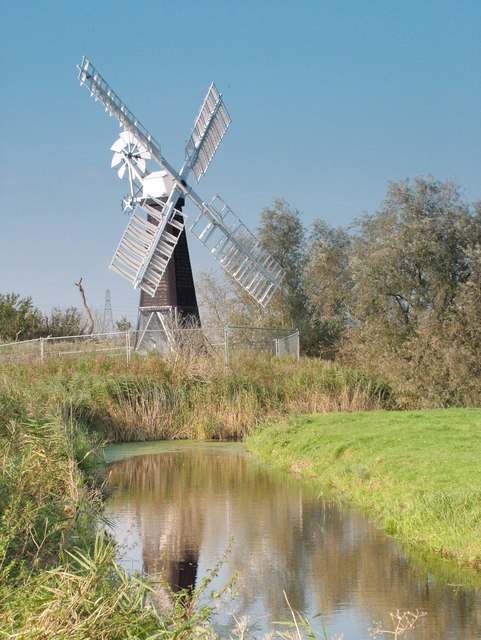
St Olaves is a village in the English county of Norfolk. The village is situated on the River Waveney, 6 miles (10 km) south-west of the town of Great Yarmouth and the same distance north-west of the Suffolk town of Lowestoft. It is within The Broads national park.[1]
Key Information


Today the village forms part of the civil parish of Fritton and St Olaves, which in turn is within the district of Great Yarmouth in Norfolk. Prior to local government reorganisation in 1974 however, the village was part of the parish of Herringfleet in the Lothingland Rural District of Suffolk.[2]
St Olaves Bridge, a suspension bridge, is the first bridging point on the Waveney above Great Yarmouth. Haddiscoe railway station, on the Wherry Lines service between Norwich and Lowestoft, is across the bridge approximately 1 kilometre (0.62 mi) from the centre of the village. St Olaves used to have its own railway station, which closed in 1959.
The village is the location of the remains of a 13th-century Augustinian priory. St. Olaves Priory was dedicated to St Olav. On the site there are parts of the refectory, cloisters, and the priory mill.[3]
References
[edit]- ^ Ordnance Survey (2005). OS Explorer Map OL40 - The Broads. ISBN 0-319-23769-9.
- ^ Local Government Act 1972, Schedule 1 Part II Non-metropolitan counties.
- ^ "History of St Olave's Priory". English Heritage. Retrieved 1 September 2017.
External links
[edit]
This Norfolk location article is a stub. You can help Wikipedia by expanding it. |