
Community hub
0 subscribers8 pages, 0 posts
Recent from talks
All channels
Be the first to start a discussion here.
Be the first to start a discussion here.
Be the first to start a discussion here.
Be the first to start a discussion here.
Contribute something
Welcome to the community hub built to collect knowledge and have discussions related to Unley Road.
Nothing was collected or created yet.
Unley Road
View on Wikipediafrom Wikipedia
.jpg)
Key Information

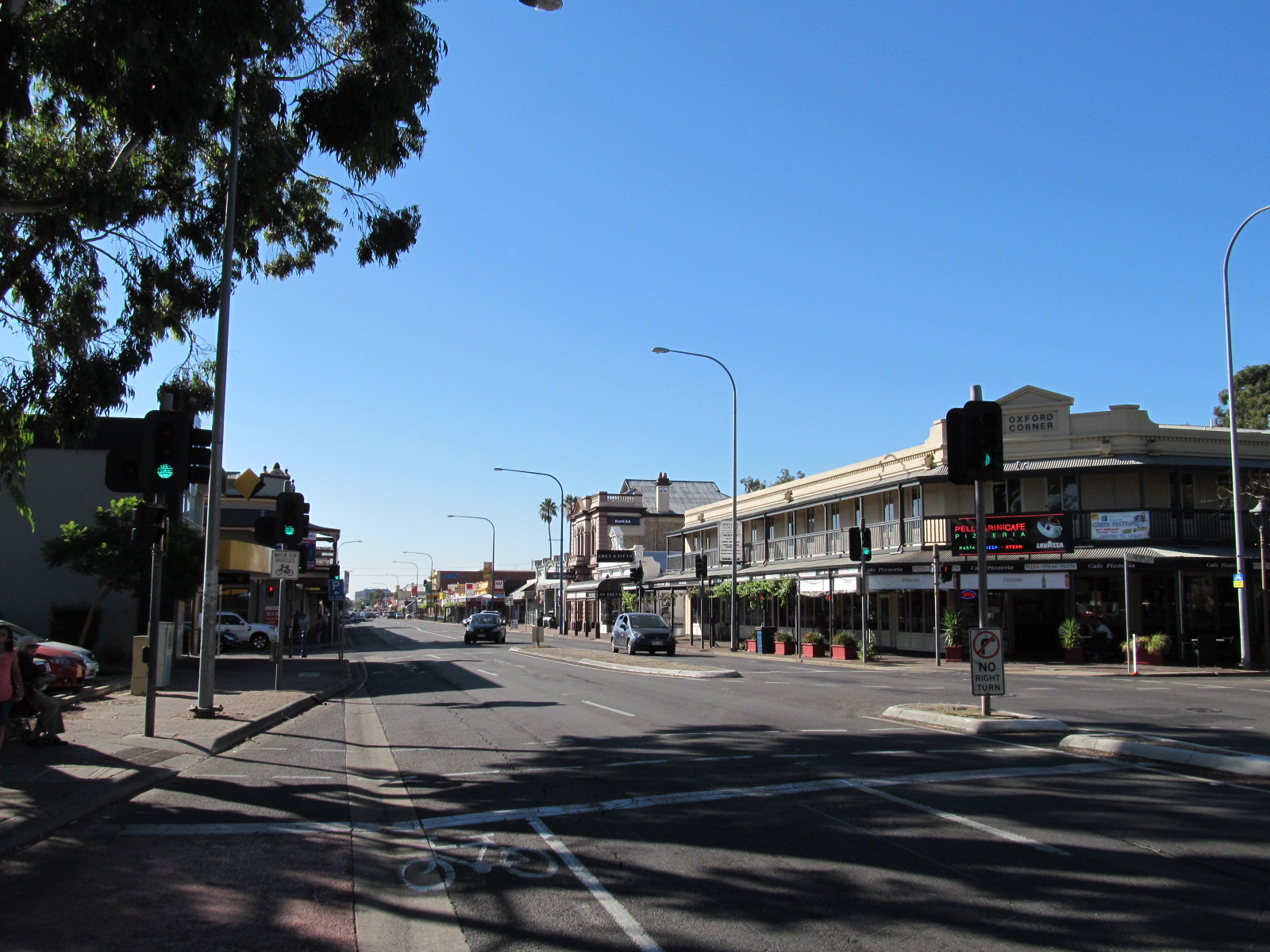
Unley Road is a road in the City of Unley, located south of the City of Adelaide, the capital of South Australia. It runs from South Terrace to Cross Road, where it becomes Belair Road.[3] The road was named after the family name of the wife of Thomas Whistler, owner of land in Unley which was laid out around 1857.[4]
The road contains numerous cafés, restaurants, shops and churches. It is known for its boutique shopping scene selling designer fashion and artisan gifts and homewares. The road is two-lane with parking on both sides plus bicycle lanes. A tramline ran through the road up until the 1960s.[5]
Notable traders
[edit]Pubs include The Unley[6] and the Cremorne Hotel.[7]
Major intersections
[edit]| LGA[8] | Location[1][9] | km[1] | mi | Destinations | Notes |
|---|---|---|---|---|---|
| Adelaide | Adelaide | 0.0 | 0.0 | Pulteney Street – Adelaide CBD | Northern terminus of road |
| South Terrace – Adelaide CBD | |||||
| Adelaide–Unley boundary | Adelaide–Unley–Parkside boundary | 0.6 | 0.37 | Northern terminus of route B29 | |
| Unley–Mitcham boundary | Unley Park–Malvern–Hawthorn–Kingswood quadripoint | 3.3 | 2.1 | ||
| Route B29 continues south along Belair Road | |||||
| |||||
See also
[edit]References
[edit]- ^ a b c "Unley Road" (Map). Google Maps. Retrieved 16 June 2022.
- ^ "Location SA Map viewer with regional layers". Government of South Australia. Retrieved 16 June 2022.
- ^ 2003 Adelaide Street Directory, 41st Edition. UBD (A Division of Universal Press Pty Ltd). 2003. ISBN 0-7319-1441-4.
- ^ Unley: ECSA
- ^ Mitcham Local History Service and Heritage Research Centre (2 March 2010). Tram Lines around Mitcham – Chronology (PDF). Mitcham, SA: City of Mitcham. Retrieved 16 August 2021.
- ^ "The Unley". www.theunley.com.au. Retrieved 2 July 2021.
- ^ "Eat". The Cremorne Hotel. Retrieved 2 July 2021.
- ^ "Location SA Map viewer with LGA layers". Government of South Australia. Retrieved 16 June 2022.
- ^ "Location SA Map viewer with suburb layers". Government of South Australia. Retrieved 16 June 2022.