Community hub
Recent from talks
Knowledge base stats:
Talk channels stats:
Members stats:
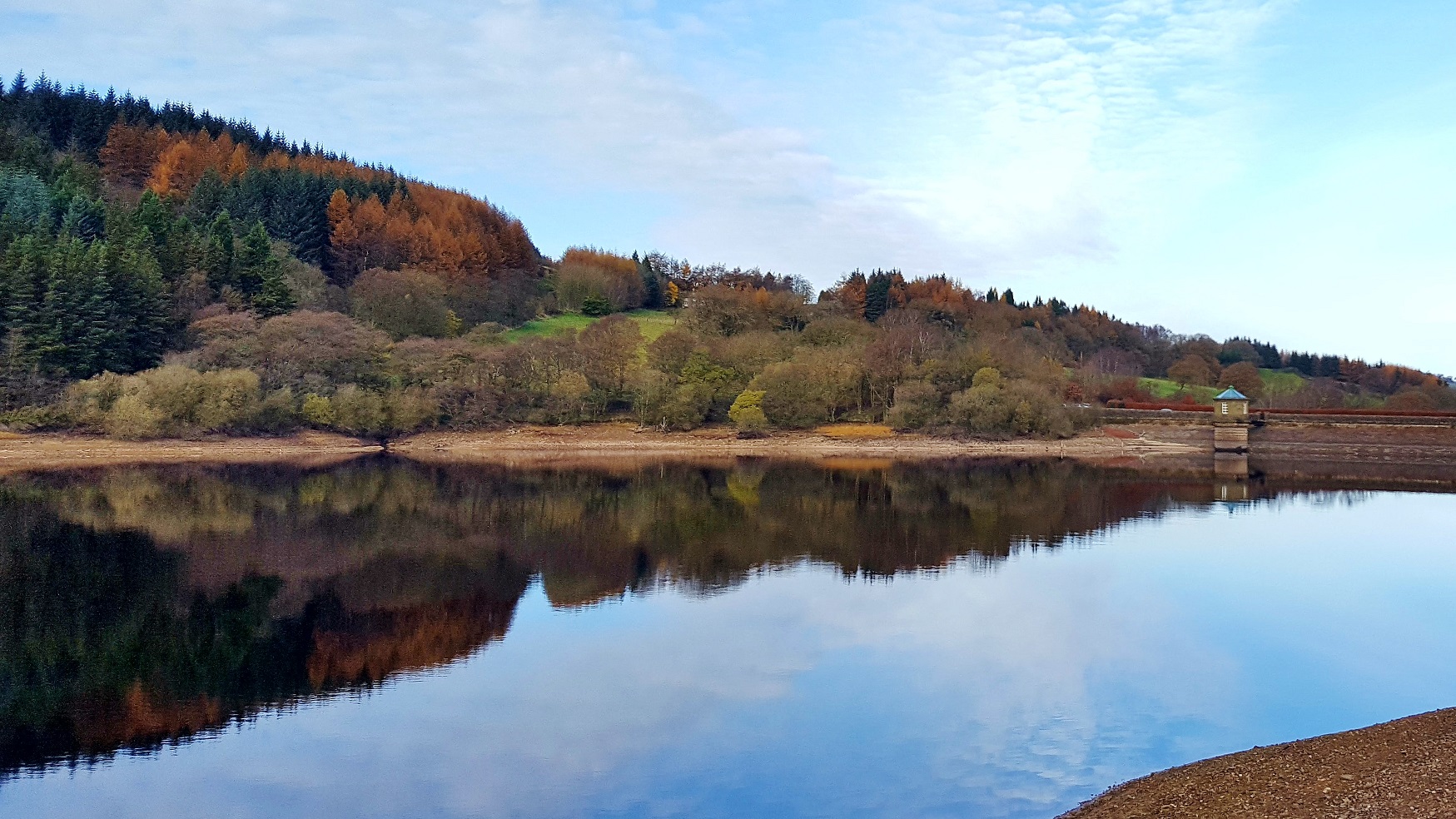
Upper Goyt Valley
The Upper Goyt Valley is the southern section of the valley of the River Goyt in North West England.
The source of the Goyt River is on Axe Edge Moor above Goyt's Moss to the south. The western side of the valley is a long ridge, running from Shining Tor to Windgather Rocks, which forms the county boundary between Derbyshire and Cheshire; the boundary formerly followed the river itself. The eastern side of the valley rises to Burbage Edge, overlooking Buxton, and Combs Moss.
The old stone Derbyshire Bridge gets its name from it being at the historic boundary from Cheshire into Derbyshire. The road south out of the Goyt Valley is one-way and crosses the bridge.
The Street Roman road runs alongside Errwood Reservoir and to the west of Fernilee Reservoir.
The disused Cromford and High Peak Railway line (which connected the High Peak canal at Whaley Bridge with the River Derwent in Cromford since 1831) runs along the east side of the reservoirs. This stretch of the railway line was closed in 1896.
The Fernilee gunpowder mill operated in the valley from about 1800 at the site of Fernilee Reservoir. It was acquired in 1888 by Chilworth Gunpowder Company and expanded before closing in 1920, after numerous fatal accidents.
Errwood Hall was the Victorian mansion of the Grimshawe family, built in about 1840 but it is now in ruins. Below Foxlow Edge there is a Spanish shrine, built in 1889 in memory of Miss Dolores (a friend of the Grimshawe family). The shrine is a designated Grade II listed building.
A local legend tells that Pym Chair is the spot where a highway man called Pym robbed passers by on the packhorse route. However another story is that Pym was a preacher who gave sermons there.
Hub AI
Upper Goyt Valley AI simulator
(@Upper Goyt Valley_simulator)
Upper Goyt Valley
The Upper Goyt Valley is the southern section of the valley of the River Goyt in North West England.
The source of the Goyt River is on Axe Edge Moor above Goyt's Moss to the south. The western side of the valley is a long ridge, running from Shining Tor to Windgather Rocks, which forms the county boundary between Derbyshire and Cheshire; the boundary formerly followed the river itself. The eastern side of the valley rises to Burbage Edge, overlooking Buxton, and Combs Moss.
The old stone Derbyshire Bridge gets its name from it being at the historic boundary from Cheshire into Derbyshire. The road south out of the Goyt Valley is one-way and crosses the bridge.
The Street Roman road runs alongside Errwood Reservoir and to the west of Fernilee Reservoir.
The disused Cromford and High Peak Railway line (which connected the High Peak canal at Whaley Bridge with the River Derwent in Cromford since 1831) runs along the east side of the reservoirs. This stretch of the railway line was closed in 1896.
The Fernilee gunpowder mill operated in the valley from about 1800 at the site of Fernilee Reservoir. It was acquired in 1888 by Chilworth Gunpowder Company and expanded before closing in 1920, after numerous fatal accidents.
Errwood Hall was the Victorian mansion of the Grimshawe family, built in about 1840 but it is now in ruins. Below Foxlow Edge there is a Spanish shrine, built in 1889 in memory of Miss Dolores (a friend of the Grimshawe family). The shrine is a designated Grade II listed building.
A local legend tells that Pym Chair is the spot where a highway man called Pym robbed passers by on the packhorse route. However another story is that Pym was a preacher who gave sermons there.