
Community hub
Recent from talks
Contribute something
Nothing was collected or created yet.
Utikuma Lake
View on Wikipedia
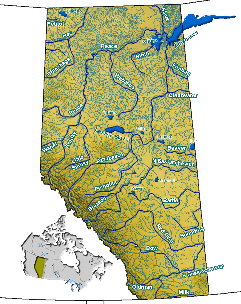
Utikuma Lake is a large lake in north-central Alberta, Canada. It is located 30 km (19 mi) north of the Lesser Slave Lake, between the Bicentennial Highway and Highway 750.
Key Information


It has a total surface of 288 km2 (111 sq mi) with 15.3 km2 (5.9 sq mi) island area. The shallow lake (maximum depth is 5.5 m (18 ft)) lies at an elevation of 648 m (2,126 ft). It is drained by the Utikuma River and then Wabasca River to Peace River.
The name Uticuma is Cree for "big whitefish".
The Utikoomak Lake 155 indian reserve of the Whitefish Lake First Nations is established on the northern shore.
See also
[edit]References
[edit]
This Alberta location article is a stub. You can help Wikipedia by adding missing information. |
This article related to a lake in Canada is a stub. You can help Wikipedia by adding missing information. |