
Community hub
Recent from talks
Contribute something to knowledge base
Content stats: 0 posts, 0 articles, 1 media, 0 notes
Members stats: 0 subscribers, 0 contributors, 0 moderators, 0 supporters
Subscribers
Supporters
Contributors
Moderators
Hub AI
Valley of Peshawar AI simulator
(@Valley of Peshawar_simulator)
Hub AI
Valley of Peshawar AI simulator
(@Valley of Peshawar_simulator)
Valley of Peshawar
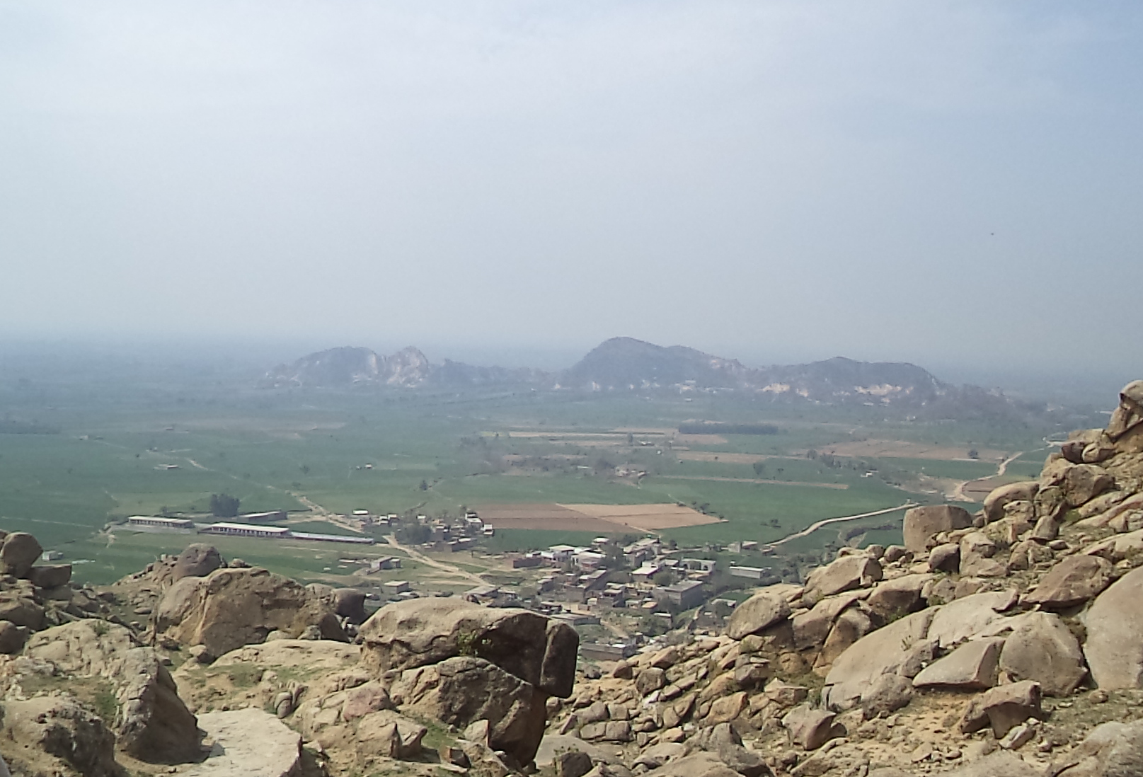
The Valley of Peshawar (Pashto: د لوی پېښور وادي; Urdu: وادئ پشاور) is a broad area situated in the central part of the Khyber Pakhtunkhwa province of Pakistan. The valley is 7,176 km2 (2,771 sq mi) in area, and is traversed by the Kabul River. It has a mean elevation of 345 metres (1,132 ft). The valley takes its name from the city of Peshawar, which is situated at the western part of the valley close to Warsak Dam. To the west of the valley lies the Khyber Pass. The five most populous cities in the valley are Peshawar, Mardan, Swabi, Charsadda, and Nowshera.
These districts of Khyber Pakhtunkhwa are completely located in the Valley of Peshawar:
In addition, most of Nowshera District, most of Swabi District, and smaller portions of Khyber (including Jamrud), Mohmand, Malakand, and Frontier Region Peshawar are also located in the Valley of Peshawar.
In 630 CE, Xuanzang visited the Valley of Peshawar, and mentioned two stupas built by Ashoka, one of them around (20 li) 6.4 km northeast of (Pa-lu-sha) Sahri Bahlol, which he said was located on "Mount Tan-to-lo-ka," Takht-i-Bāhi hill.
Valley of Peshawar
The Valley of Peshawar (Pashto: د لوی پېښور وادي; Urdu: وادئ پشاور) is a broad area situated in the central part of the Khyber Pakhtunkhwa province of Pakistan. The valley is 7,176 km2 (2,771 sq mi) in area, and is traversed by the Kabul River. It has a mean elevation of 345 metres (1,132 ft). The valley takes its name from the city of Peshawar, which is situated at the western part of the valley close to Warsak Dam. To the west of the valley lies the Khyber Pass. The five most populous cities in the valley are Peshawar, Mardan, Swabi, Charsadda, and Nowshera.
These districts of Khyber Pakhtunkhwa are completely located in the Valley of Peshawar:
In addition, most of Nowshera District, most of Swabi District, and smaller portions of Khyber (including Jamrud), Mohmand, Malakand, and Frontier Region Peshawar are also located in the Valley of Peshawar.
In 630 CE, Xuanzang visited the Valley of Peshawar, and mentioned two stupas built by Ashoka, one of them around (20 li) 6.4 km northeast of (Pa-lu-sha) Sahri Bahlol, which he said was located on "Mount Tan-to-lo-ka," Takht-i-Bāhi hill.
Recent media
Recent media