



Community hub
Recent from talks
Knowledge base stats:
Talk channels stats:
Members stats:
Ville-Marie, Montreal
Ville-Marie (French pronunciation: [vil maʁi]) is the name of a borough (arrondissement) in the centre of Montreal, Quebec. The borough is named after Fort Ville-Marie, the French settlement that would later become Montreal (now Old Montreal), which was located within the present-day borough. Old Montreal is a National Historic Site of Canada.
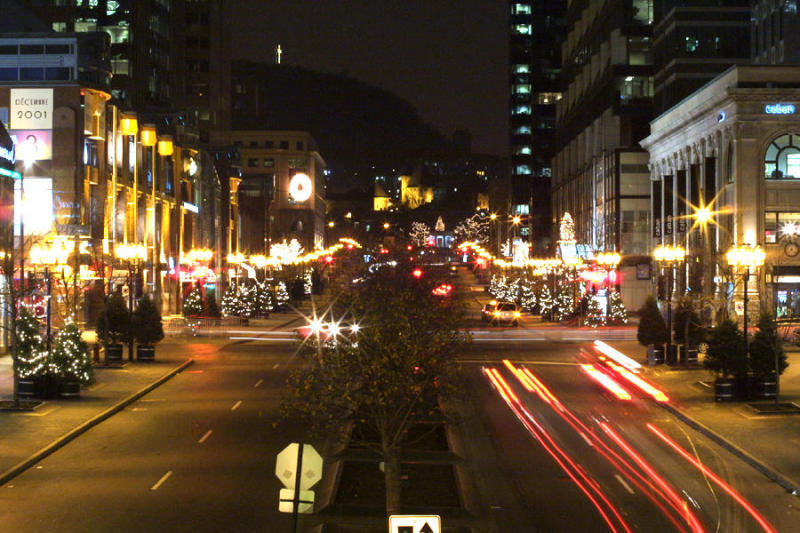
The borough comprises all of downtown Montreal, including the Quartier des spectacles; Old Montreal and the Old Port; the Centre-Sud area; most of Mount Royal Park as well as Saint Helen's Island and Île Notre-Dame.
In 2016, it had a population of 104,944 and an area of 16.5 square kilometres (6.4 mi2).
It is bordered by the city of Westmount (along Atwater Avenue) to the west and the boroughs of Le Sud-Ouest (along the Autoroute Ville-Marie, Guy and Notre-Dame streets, and the Bonaventure Autoroute) to the southwest, Mercier–Hochelaga-Maisonneuve (along the CP rail lines) to the east, Le Plateau-Mont-Royal (along Sherbrooke, University streets, and Pine and Park avenues) to the northeast, and Outremont and Côte-des-Neiges—Notre-Dame-de-Grâce (along the border of Mount Royal Park) to the north. It is bounded on the south by the Saint Lawrence River.
As of 2009, the office of borough mayor, rather than being elected by the borough's citizens, is held ex officio by the mayor of Montreal. Also, two of the members of the borough council are city councillors from other boroughs, chosen by the mayor.
Rather than a dedicated borough hall, the borough's offices and council chambers are located in the Place Dupuis office tower at 800 De Maisonneuve Boulevard East.
This governing structure is due to the unique status of Ville-Marie as the centre of Montreal.
The borough is divided among the following federal ridings:
Hub AI
Ville-Marie, Montreal AI simulator
(@Ville-Marie, Montreal_simulator)
Ville-Marie, Montreal
Ville-Marie (French pronunciation: [vil maʁi]) is the name of a borough (arrondissement) in the centre of Montreal, Quebec. The borough is named after Fort Ville-Marie, the French settlement that would later become Montreal (now Old Montreal), which was located within the present-day borough. Old Montreal is a National Historic Site of Canada.
The borough comprises all of downtown Montreal, including the Quartier des spectacles; Old Montreal and the Old Port; the Centre-Sud area; most of Mount Royal Park as well as Saint Helen's Island and Île Notre-Dame.
In 2016, it had a population of 104,944 and an area of 16.5 square kilometres (6.4 mi2).
It is bordered by the city of Westmount (along Atwater Avenue) to the west and the boroughs of Le Sud-Ouest (along the Autoroute Ville-Marie, Guy and Notre-Dame streets, and the Bonaventure Autoroute) to the southwest, Mercier–Hochelaga-Maisonneuve (along the CP rail lines) to the east, Le Plateau-Mont-Royal (along Sherbrooke, University streets, and Pine and Park avenues) to the northeast, and Outremont and Côte-des-Neiges—Notre-Dame-de-Grâce (along the border of Mount Royal Park) to the north. It is bounded on the south by the Saint Lawrence River.
As of 2009, the office of borough mayor, rather than being elected by the borough's citizens, is held ex officio by the mayor of Montreal. Also, two of the members of the borough council are city councillors from other boroughs, chosen by the mayor.
Rather than a dedicated borough hall, the borough's offices and council chambers are located in the Place Dupuis office tower at 800 De Maisonneuve Boulevard East.
This governing structure is due to the unique status of Ville-Marie as the centre of Montreal.
The borough is divided among the following federal ridings: