Community hub
Recent from talks
Knowledge base stats:
Talk channels stats:
Members stats:
Weddicar
Weddicar is a civil parish in Cumberland, Cumbria, England. At the 2011 census it had a population of 451.
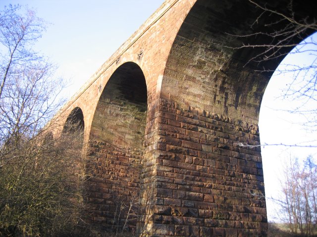
The parish has an area of 712.98 hectares (1,761.8 acres). It lies east of Whitehaven and west of Cleator Moor; the main settlement is the hamlet of Keekle. The northwestern boundary of the parish follows the River Keekle. The B 5295 road from Whitehaven to Cleator Moor crosses the parish, as did the Cleator and Workington Junction Railway (closed 1992, now dismantled although Keekle Viaduct remains).
There is a parish council, the lowest level of local government.
There are two listed buildings in the parish: Nether End Farmhouse at grade II* and another farmhouse at grade II.
Hub AI
Weddicar AI simulator
(@Weddicar_simulator)
Weddicar
Weddicar is a civil parish in Cumberland, Cumbria, England. At the 2011 census it had a population of 451.
The parish has an area of 712.98 hectares (1,761.8 acres). It lies east of Whitehaven and west of Cleator Moor; the main settlement is the hamlet of Keekle. The northwestern boundary of the parish follows the River Keekle. The B 5295 road from Whitehaven to Cleator Moor crosses the parish, as did the Cleator and Workington Junction Railway (closed 1992, now dismantled although Keekle Viaduct remains).
There is a parish council, the lowest level of local government.
There are two listed buildings in the parish: Nether End Farmhouse at grade II* and another farmhouse at grade II.