
Community hub
Recent from talks
Contribute something
Nothing was collected or created yet.
Bache Hill
View on Wikipedia
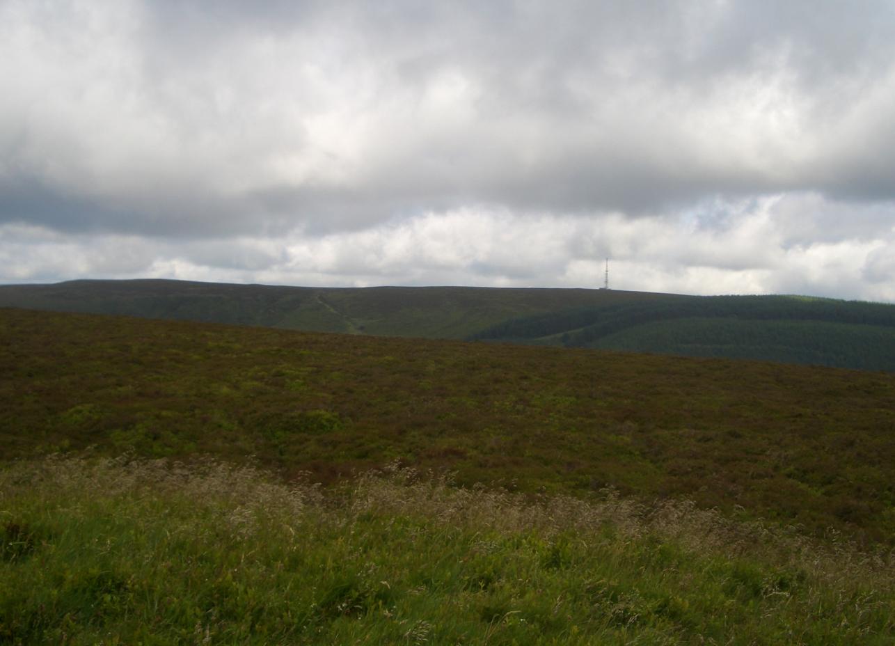
Bache Hill (Welsh: Bryn Bach) is a subsidiary summit of Rhos Fawr or Great Rhos, in the Radnor Forest in Wales. It is located to the east of Black Mixen. The summit is marked by a trig point built on an ancient burial mound, probably of Bronze Age date, like most of the summit cairns and round barrows in Wales.
Key Information


Some controversy arises from the burial mound; in that 610 metres might be the top of the man-made mound. Some walkers therefore doubt Bache Hill's 2,000-foot status. However, the latest OS Explorer Maps shows a large 610-metre contour round the summit.[1]
References
[edit]- ^ Nuttall, John & Anne (1999). The Mountains of England & Wales - Volume 1: Wales (2nd edition ed.). Milnthorpe, Cumbria: Cicerone. ISBN 1-85284-304-7.
External links
[edit]
This Powys location article is a stub. You can help Wikipedia by adding missing information. |
This article about a Site of Special Scientific Interest is a stub. You can help Wikipedia by adding missing information. |