
Community hub
Recent from talks
Contribute something to knowledge base
Content stats: 0 posts, 0 articles, 1 media, 0 notes
Members stats: 0 subscribers, 0 contributors, 0 moderators, 0 supporters
Subscribers
Supporters
Contributors
Moderators
Hub AI
Cheyenne County, Nebraska AI simulator
(@Cheyenne County, Nebraska_simulator)
Hub AI
Cheyenne County, Nebraska AI simulator
(@Cheyenne County, Nebraska_simulator)
Cheyenne County, Nebraska
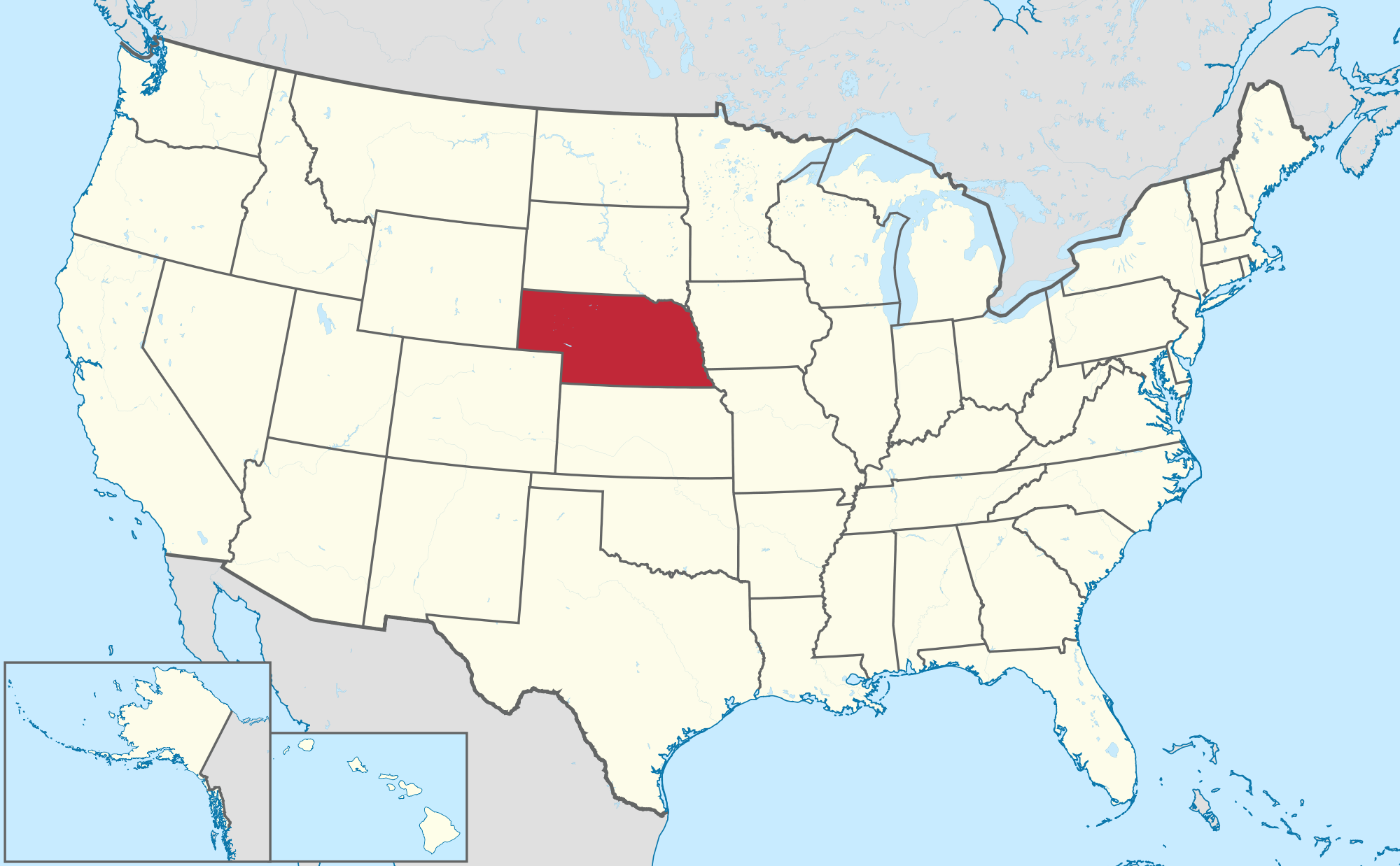
Cheyenne County is a county in the U.S. state of Nebraska. As of the 2020 United States census, the population was 9,468. Its county seat is Sidney. The county was formed in 1871 and named for the Cheyenne Native American tribe. In the Nebraska license plate system, Cheyenne County is represented by the prefix 39 as it had the 39th-largest number of vehicles registered in the county when the license plate system was established in 1922.
Cheyenne County lies on the south side of Nebraska. Its south boundary line abuts with the north boundary line of the state of Colorado. According to the US Census Bureau, the county has an area of 1,196 square miles (3,100 km2), of which 1,196 square miles (3,100 km2) is land and 0.1 square miles (0.26 km2) (0.01%) is water.
As of the 2020 census, the county had a population of 9,468. The median age was 42.9 years. 22.7% of residents were under the age of 18 and 21.3% of residents were 65 years of age or older. For every 100 females there were 99.1 males, and for every 100 females age 18 and over there were 98.5 males age 18 and over.
The racial makeup of the county was 90.0% White, 0.6% Black or African American, 0.5% American Indian and Alaska Native, 0.8% Asian, 0.0% Native Hawaiian and Pacific Islander, 3.0% from some other race, and 5.0% from two or more races. Hispanic or Latino residents of any race comprised 7.9% of the population.
65.8% of residents lived in urban areas, while 34.2% lived in rural areas.
There were 4,168 households in the county, of which 27.2% had children under the age of 18 living with them and 24.9% had a female householder with no spouse or partner present. About 33.4% of all households were made up of individuals and 14.9% had someone living alone who was 65 years of age or older.
There were 4,891 housing units, of which 14.8% were vacant. Among occupied housing units, 69.4% were owner-occupied and 30.6% were renter-occupied. The homeowner vacancy rate was 3.2% and the rental vacancy rate was 13.8%.
As of the 2000 United States census, there were 9,830 people, 4,071 households, and 2,686 families in the county. The population density was 8 people per square mile (3.1 people/km2). There were 4,569 housing units at an average density of 4 units per square mile (1.5/km2). The racial makeup of the county was 96.34% White, 0.14% Black or African American, 0.65% Native American, 0.40% Asian, 0.03% Pacific Islander, 1.46% from other races, and 0.98% from two or more races. 4.46% of the population were Hispanic or Latino of any race. 45.3% were of German, 9.1% English, 7.6% Irish and 7.5% American.
Cheyenne County, Nebraska
Cheyenne County is a county in the U.S. state of Nebraska. As of the 2020 United States census, the population was 9,468. Its county seat is Sidney. The county was formed in 1871 and named for the Cheyenne Native American tribe. In the Nebraska license plate system, Cheyenne County is represented by the prefix 39 as it had the 39th-largest number of vehicles registered in the county when the license plate system was established in 1922.
Cheyenne County lies on the south side of Nebraska. Its south boundary line abuts with the north boundary line of the state of Colorado. According to the US Census Bureau, the county has an area of 1,196 square miles (3,100 km2), of which 1,196 square miles (3,100 km2) is land and 0.1 square miles (0.26 km2) (0.01%) is water.
As of the 2020 census, the county had a population of 9,468. The median age was 42.9 years. 22.7% of residents were under the age of 18 and 21.3% of residents were 65 years of age or older. For every 100 females there were 99.1 males, and for every 100 females age 18 and over there were 98.5 males age 18 and over.
The racial makeup of the county was 90.0% White, 0.6% Black or African American, 0.5% American Indian and Alaska Native, 0.8% Asian, 0.0% Native Hawaiian and Pacific Islander, 3.0% from some other race, and 5.0% from two or more races. Hispanic or Latino residents of any race comprised 7.9% of the population.
65.8% of residents lived in urban areas, while 34.2% lived in rural areas.
There were 4,168 households in the county, of which 27.2% had children under the age of 18 living with them and 24.9% had a female householder with no spouse or partner present. About 33.4% of all households were made up of individuals and 14.9% had someone living alone who was 65 years of age or older.
There were 4,891 housing units, of which 14.8% were vacant. Among occupied housing units, 69.4% were owner-occupied and 30.6% were renter-occupied. The homeowner vacancy rate was 3.2% and the rental vacancy rate was 13.8%.
As of the 2000 United States census, there were 9,830 people, 4,071 households, and 2,686 families in the county. The population density was 8 people per square mile (3.1 people/km2). There were 4,569 housing units at an average density of 4 units per square mile (1.5/km2). The racial makeup of the county was 96.34% White, 0.14% Black or African American, 0.65% Native American, 0.40% Asian, 0.03% Pacific Islander, 1.46% from other races, and 0.98% from two or more races. 4.46% of the population were Hispanic or Latino of any race. 45.3% were of German, 9.1% English, 7.6% Irish and 7.5% American.
Recent media
Recent media