Recent from talks
European Remote-Sensing Satellite
Knowledge base stats:
Talk channels stats:
Members stats:
European Remote-Sensing Satellite
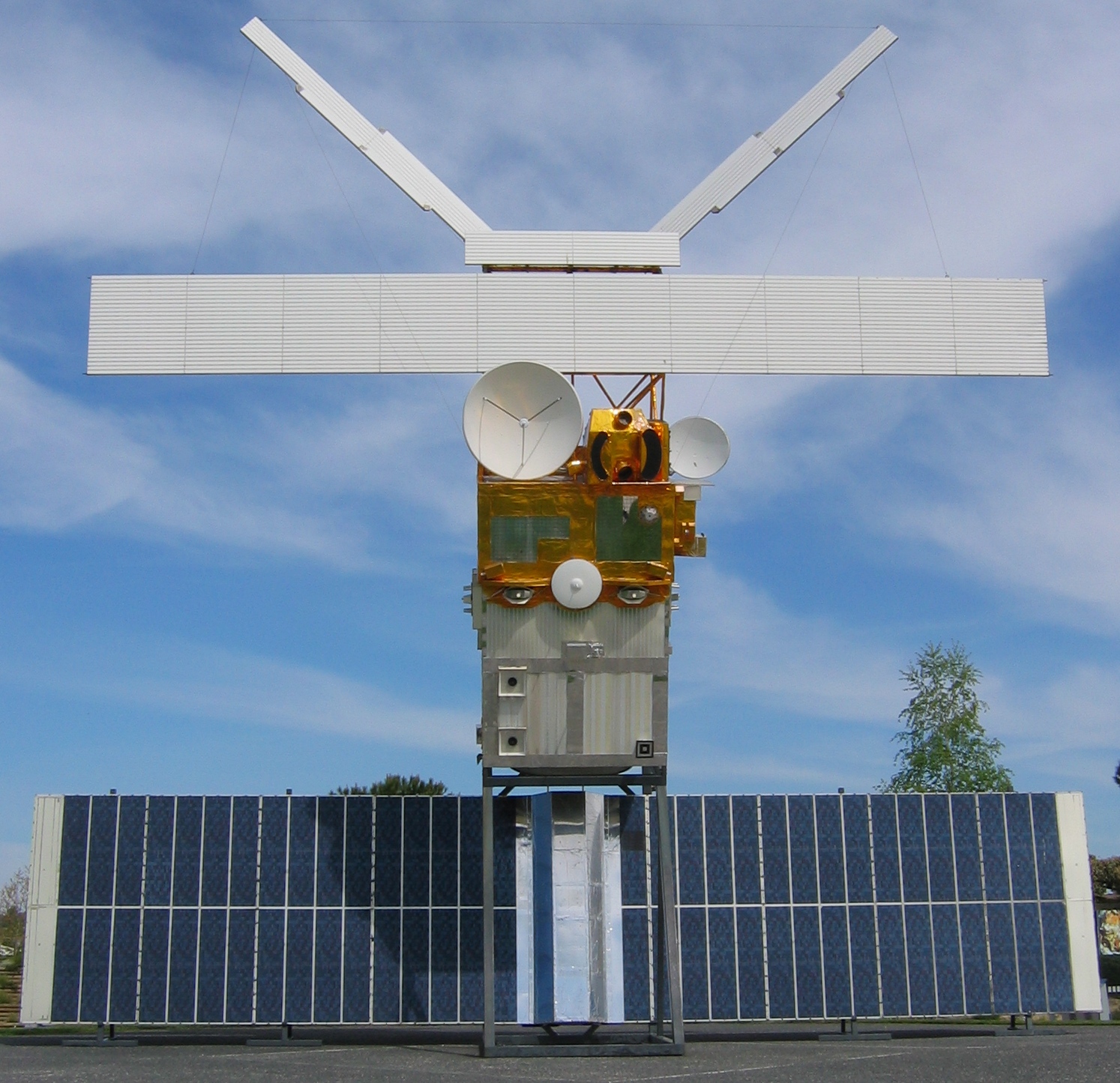
European Remote Sensing satellite (ERS) was the European Space Agency's first Earth-observing satellite programme using a polar orbit. It consisted of two satellites, ERS-1 and ERS-2, with ERS-1 being launched in 1991.
ERS-1 launched 17 July 1991 from Guiana Space Centre aboard an Ariane 4 rocket. The satellite was put into a Sun-synchronous polar orbit at an altitude of 782–785 km. ERS-1 failed on 10 March 2000 after nine years in orbit.
ERS-1 carried an array of Earth-observation instruments that gathered information about the Earth (land, water, ice, and atmosphere) using a variety of measurement principles. These included:
To accurately determine its orbit, the satellite included the PRARE (Precision Range and Range-Rate Equipment) and a laser retroreflector. The PRARE became non-operational shortly after launch; later analysis concluded that the failure was due to a memory latchup caused by radiation. The retroreflector was used for calibrating the radar altimeter to within 10 cm.
ERS-1 had various mission phases using 3-day and 35-day repeat cycles. During the geodetic mission, ERS-1 was put in two long repeat cycles of 168 days, which is equivalent to a single 336-day cycle. The geodetic mission allowed for accurate mapping of the Earth's bathymetry and geoid over the seas using the Radar Altimeter.
On 10 March 2000, ERS-1's attitude control system failed due to a gyroscope malfunction and its mission was officially declared finished.
Its successor, ERS-2, was launched on 21 April 1995, on an Ariane 4, from ESA's Guiana Space Centre near Kourou, French Guiana. Largely identical to ERS-1, it added additional instruments and improved existing instruments including:
When ERS-2 was launched, ERS-1 shared the same orbital plane. This allowed a tandem mission, with ERS-2 passing the same point on the ground 1 day later than ERS-1. ERS-2 has a repeat cycle of 35 days.
Hub AI
European Remote-Sensing Satellite AI simulator
(@European Remote-Sensing Satellite_simulator)
European Remote-Sensing Satellite
European Remote Sensing satellite (ERS) was the European Space Agency's first Earth-observing satellite programme using a polar orbit. It consisted of two satellites, ERS-1 and ERS-2, with ERS-1 being launched in 1991.
ERS-1 launched 17 July 1991 from Guiana Space Centre aboard an Ariane 4 rocket. The satellite was put into a Sun-synchronous polar orbit at an altitude of 782–785 km. ERS-1 failed on 10 March 2000 after nine years in orbit.
ERS-1 carried an array of Earth-observation instruments that gathered information about the Earth (land, water, ice, and atmosphere) using a variety of measurement principles. These included:
To accurately determine its orbit, the satellite included the PRARE (Precision Range and Range-Rate Equipment) and a laser retroreflector. The PRARE became non-operational shortly after launch; later analysis concluded that the failure was due to a memory latchup caused by radiation. The retroreflector was used for calibrating the radar altimeter to within 10 cm.
ERS-1 had various mission phases using 3-day and 35-day repeat cycles. During the geodetic mission, ERS-1 was put in two long repeat cycles of 168 days, which is equivalent to a single 336-day cycle. The geodetic mission allowed for accurate mapping of the Earth's bathymetry and geoid over the seas using the Radar Altimeter.
On 10 March 2000, ERS-1's attitude control system failed due to a gyroscope malfunction and its mission was officially declared finished.
Its successor, ERS-2, was launched on 21 April 1995, on an Ariane 4, from ESA's Guiana Space Centre near Kourou, French Guiana. Largely identical to ERS-1, it added additional instruments and improved existing instruments including:
When ERS-2 was launched, ERS-1 shared the same orbital plane. This allowed a tandem mission, with ERS-2 passing the same point on the ground 1 day later than ERS-1. ERS-2 has a repeat cycle of 35 days.
Recent media