
Community hub
0 subscribers8 pages, 0 posts
Recent from talks
All channels
Be the first to start a discussion here.
Be the first to start a discussion here.
Be the first to start a discussion here.
Be the first to start a discussion here.
Contribute something
Welcome to the community hub built to collect knowledge and have discussions related to Gourits River.
Nothing was collected or created yet.
Gourits River
View on Wikipediafrom Wikipedia
| Gourits River Gouritz River, Gouritsrivier | |
|---|---|
 | |
 Location of the Gourits River mouth | |
| Etymology | Origin uncertain; perhaps from the word "dirty" in the Griqua language |
| Native name | Rio das Vaccas (Afrikaans) |
| Location | |
| Country | South Africa |
| Province | Western Cape Province |
| Physical characteristics | |
| Source confluence | Gamka (W) Olifants(E) |
| • coordinates | 33°40′57″S 21°42′58″E / 33.68250°S 21.71611°E |
| • elevation | 516 m (1,693 ft) |
| Mouth | Gourits Estuary |
• location | Indian Ocean, Near Gouritsmond |
• coordinates | 34°20′47″S 21°53′08″E / 34.34639°S 21.88556°E |
• elevation | 0 m (0 ft) |
| Length | 416 km (258 mi) |
| Basin size | 45,715 km2 (17,651 sq mi) |
Gourits River (Afrikaans: Gouritsrivier), sometimes spelled 'Gouritz River', is situated in the Western Cape, South Africa.[1]
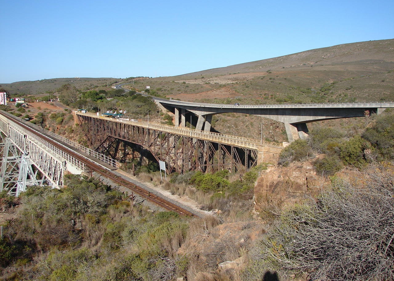
The Gourits River flows from the confluence of the Gamka River and Olifants River and is joined by the Groot River, before flowing through the Langeberg Mountains and coastal plain. It eventually drains into the sea through the Gourits Estuary near Gouritsmond.[2]