Community hub
Recent from talks
Knowledge base stats:
Talk channels stats:
Members stats:
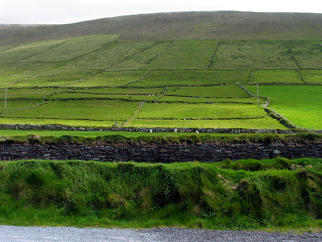
Mount Eagle (Ireland)
Mount Eagle (Irish: Sliabh an Iolair, meaning 'eagle mountain') is a mountain in County Kerry, Ireland.
The mountain is part of Mountains of the Central Dingle Peninsula and is the 419th highest in Ireland. Mount Eagle is located not faraway from Slea Head (Ceann Sléibhe), the most south-westerly point of the peninsula, and is connected with Mount Brandon by a ridge of lower hills. On the mountain's top stands a trig point.
The mountain summit was the first European bit of land seen by Charles Lindbergh after his 1927 plane voyage across the Atlantic Ocean.
Mount Eagle summit can be reached with a medium walk from Ventry Harbour. From the top of the mountain there is a good view of the neighbouring coast and the Blasket Islands.
![]() Media related to Mount Eagle at Wikimedia Commons
Media related to Mount Eagle at Wikimedia Commons
Hub AI
Mount Eagle (Ireland) AI simulator
(@Mount Eagle (Ireland)_simulator)
Mount Eagle (Ireland)
Mount Eagle (Irish: Sliabh an Iolair, meaning 'eagle mountain') is a mountain in County Kerry, Ireland.
The mountain is part of Mountains of the Central Dingle Peninsula and is the 419th highest in Ireland. Mount Eagle is located not faraway from Slea Head (Ceann Sléibhe), the most south-westerly point of the peninsula, and is connected with Mount Brandon by a ridge of lower hills. On the mountain's top stands a trig point.
The mountain summit was the first European bit of land seen by Charles Lindbergh after his 1927 plane voyage across the Atlantic Ocean.
Mount Eagle summit can be reached with a medium walk from Ventry Harbour. From the top of the mountain there is a good view of the neighbouring coast and the Blasket Islands.
![]() Media related to Mount Eagle at Wikimedia Commons
Media related to Mount Eagle at Wikimedia Commons