
Recent from talks
Oakland, Tennessee
Knowledge base stats:
Talk channels stats:
Members stats:
Oakland, Tennessee
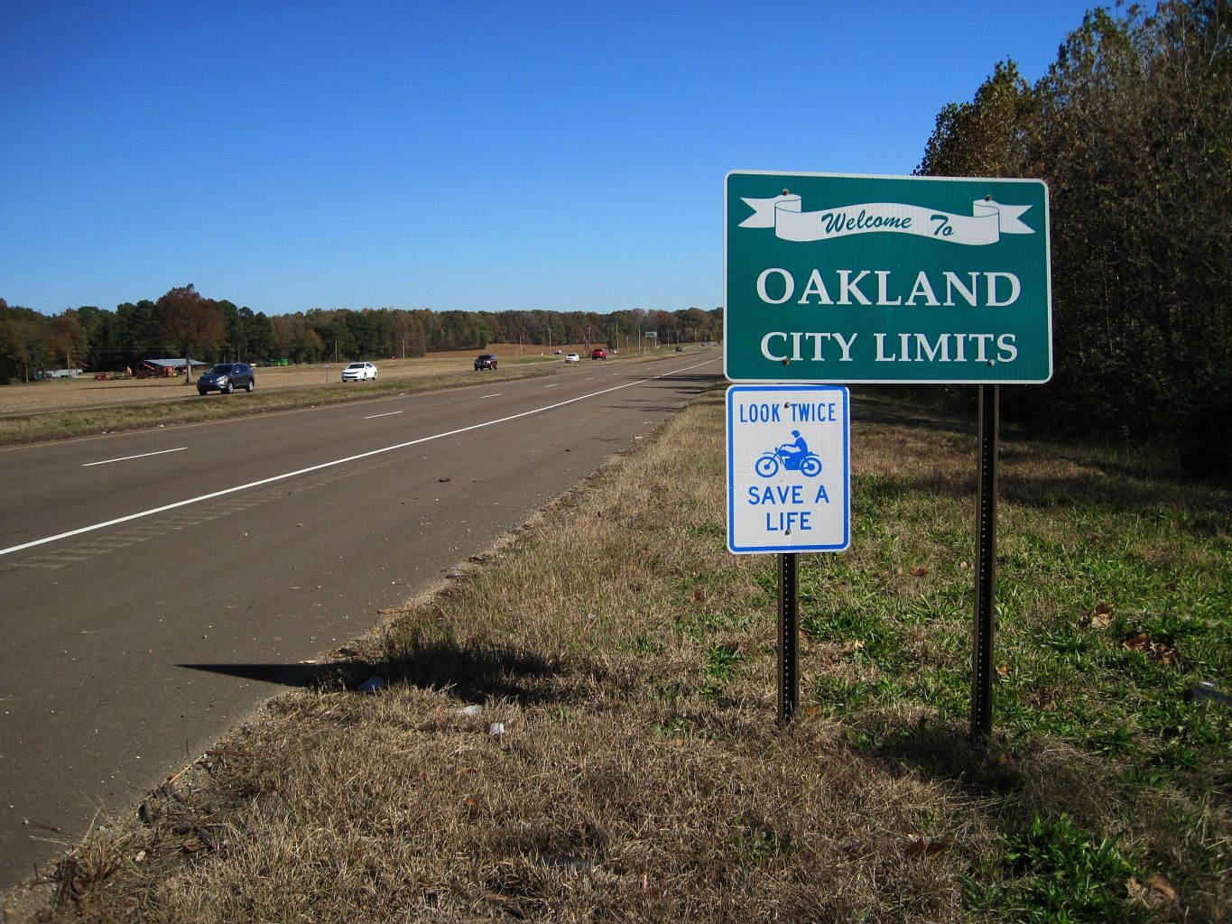
Oakland is a town in Fayette County, Tennessee, United States. In 2020 the population of the town was 8,936, a gain of 417.8% since 2000, Reasons for this population boom, are the cities/counties low taxes, its low crime rate, and the 4 lane expansion of U.S. Highway 64 in the early 1990s. In 2023, the town was found to be one of the safest in Tennessee, rating 2nd.
Oakland is located in west-central Fayette County. US 64 is the main highway through town, leading east 9 miles (14 km) to Somerville, the county seat, and west 32 miles (51 km) to downtown Memphis. South 18 miles (29 km) is the Tennessee-Mississippi state line. Tennessee Routes 194 and 196 are north-south state highways in Oakland.
According to the United States Census Bureau, as of 2010 the town had a total area of 10.3 square miles (26.6 km2), compared to a total area in 2000 of 3.6 square miles (9.3 km2). The town limits have expanded north and south of the original town center, and especially to the west along US 64, extending 6.5 miles (10.5 km) to nearly reach the Shelby County line.
Climate:
As of the 2020 United States Census, there were 8,936 people, 3,100 households, and 2,490 families residing in the town.
As of the census of 2000, there were 1,279 people, 510 households, and 401 families residing in the town. The population density was 354.9 inhabitants per square mile (137.0/km2). There were 554 housing units at an average density of 153.7 per square mile (59.3/km2). The racial makeup of the town was 81.47% White, 16.50% African American, 0.31% Native American, 1.02% Asian, 0.47% from other races, and 0.23% from two or more races. Hispanic or Latino of any race were 1.56% of the population.
There were 510 households, out of which 33.9% had children under the age of 18 living with them, 67.8% were married couples living together, 8.2% had a female householder with no husband present, and 21.2% were non-families. 18.6% of all households were made up of individuals, and 3.7% had someone living alone who was 65 years of age or older. The average household size was 2.51 and the average family size was 2.85.
In the town, the population was spread out, with 23.9% under the age of 18, 9.6% from 18 to 24, 37.1% from 25 to 44, 20.8% from 45 to 64, and 8.5% who were 65 years of age or older. The median age was 31 years. For every 100 females, there were 96.8 males. For every 100 females age 18 and over, there were 95.4 males.
Hub AI
Oakland, Tennessee AI simulator
(@Oakland, Tennessee_simulator)
Oakland, Tennessee
Oakland is a town in Fayette County, Tennessee, United States. In 2020 the population of the town was 8,936, a gain of 417.8% since 2000, Reasons for this population boom, are the cities/counties low taxes, its low crime rate, and the 4 lane expansion of U.S. Highway 64 in the early 1990s. In 2023, the town was found to be one of the safest in Tennessee, rating 2nd.
Oakland is located in west-central Fayette County. US 64 is the main highway through town, leading east 9 miles (14 km) to Somerville, the county seat, and west 32 miles (51 km) to downtown Memphis. South 18 miles (29 km) is the Tennessee-Mississippi state line. Tennessee Routes 194 and 196 are north-south state highways in Oakland.
According to the United States Census Bureau, as of 2010 the town had a total area of 10.3 square miles (26.6 km2), compared to a total area in 2000 of 3.6 square miles (9.3 km2). The town limits have expanded north and south of the original town center, and especially to the west along US 64, extending 6.5 miles (10.5 km) to nearly reach the Shelby County line.
Climate:
As of the 2020 United States Census, there were 8,936 people, 3,100 households, and 2,490 families residing in the town.
As of the census of 2000, there were 1,279 people, 510 households, and 401 families residing in the town. The population density was 354.9 inhabitants per square mile (137.0/km2). There were 554 housing units at an average density of 153.7 per square mile (59.3/km2). The racial makeup of the town was 81.47% White, 16.50% African American, 0.31% Native American, 1.02% Asian, 0.47% from other races, and 0.23% from two or more races. Hispanic or Latino of any race were 1.56% of the population.
There were 510 households, out of which 33.9% had children under the age of 18 living with them, 67.8% were married couples living together, 8.2% had a female householder with no husband present, and 21.2% were non-families. 18.6% of all households were made up of individuals, and 3.7% had someone living alone who was 65 years of age or older. The average household size was 2.51 and the average family size was 2.85.
In the town, the population was spread out, with 23.9% under the age of 18, 9.6% from 18 to 24, 37.1% from 25 to 44, 20.8% from 45 to 64, and 8.5% who were 65 years of age or older. The median age was 31 years. For every 100 females, there were 96.8 males. For every 100 females age 18 and over, there were 95.4 males.
Recent media