Ray is an unincorporated community in Koochiching County, Minnesota, United States.
The community is located southeast of International Falls at the junction of U.S. Highway 53 (U.S. 53) and State Highway 217 (MN 217).
County Roads 3, 29, and 110 are also in the vicinity. The Rat Root River flows through the area.
Ray is located along the boundary line between East Koochiching Unorganized Territory and Rainy Lake Unorganized Territory.
Nearby places include International Falls, Littlefork, and Kabetogama. The boundary line between Koochiching and Saint Louis counties is nearby.
Ray is 18 miles southeast of International Falls, 16 miles east of Littlefork, nine miles west of Kabetogama and 54 miles northwest of Cook.
The Ray post office was established in 1907, and remained in operation until 1994.[2] The community was named for Edwin Ray Lewis, a surveyor and lumberman.[3]
Municipalities and communities of Koochiching County, Minnesota, United States | ||
|---|---|---|
| Cities | 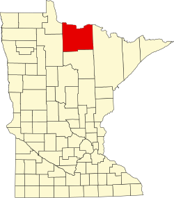 | |
| Unorganized territories | ||
| CDP | ||
| Unincorporated communities | ||
| Indian reservations | ||
| Ghost town | ||
| Footnotes | ‡This populated place also has portions in an adjacent county or counties | |
This article about a location in Koochiching County, Minnesota is a stub. You can help Wikipedia by expanding it. |
wikipedians
This is the start of the #wikipedians chat. #wikipedians — chat for Wikipedians about leveraging the hub to improve its root Wikipedia article.


