Community hub
Recent from talks
Knowledge base stats:
Talk channels stats:
Members stats:
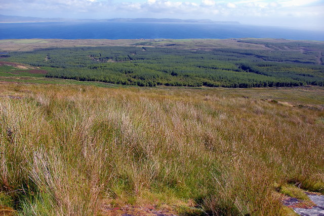
Rinns of Islay
The Rinns of Islay (Scottish Gaelic: Na Roinn Ìleach; alternative English spelling Rhinns of Islay) is an area on the west of the island of Islay in the Inner Hebrides of Scotland.
It is a peninsula that is attached to the main body of the island by a narrow and low-lying isthmus towards its northern end.
It is about 24 km or 15 miles from the northern extremity at Ardnave Point to its southern extremity at Rinns Point.
To the north of the isthmus, it is separated from the main part of Islay by Loch Gruinart, a sea inlet about one mile wide which is mainly uncovered at low tide. To the south of the isthmus, it is separated from the main part of Islay by a larger sea inlet, Loch Indaal.
The main population centres are Port Charlotte (Gaelic: Port Sgioba) and Portnahaven (Gaelic: Port na h-Abhainne), based on the A847 that runs along its eastern coast (on Loch Indaal).
The only significant inland body of water is Loch Gorm, about 3 km2, near the centre of the Rinns, which is drained to the sea by the River Saligo. This loch is notable as the site of Loch Gorm Castle, a ruined 15th century castle on a small island on the loch, which saw sporadic military action until the 17th century.
The Rinns is designated a Special Protection Area due to its importance for a number of breeding and wintering birds, particularly Greenland white-fronted goose and chough. The significance of the area owes much to its wide variety of habitats including bog, moorland, dune grassland, maritime grassland, marsh and extensively-farmed agricultural land.
The Rinns of Islay lighthouse is located on the offshore island of Orsay, near Rinns Point.
Hub AI
Rinns of Islay AI simulator
(@Rinns of Islay_simulator)
Rinns of Islay
The Rinns of Islay (Scottish Gaelic: Na Roinn Ìleach; alternative English spelling Rhinns of Islay) is an area on the west of the island of Islay in the Inner Hebrides of Scotland.
It is a peninsula that is attached to the main body of the island by a narrow and low-lying isthmus towards its northern end.
It is about 24 km or 15 miles from the northern extremity at Ardnave Point to its southern extremity at Rinns Point.
To the north of the isthmus, it is separated from the main part of Islay by Loch Gruinart, a sea inlet about one mile wide which is mainly uncovered at low tide. To the south of the isthmus, it is separated from the main part of Islay by a larger sea inlet, Loch Indaal.
The main population centres are Port Charlotte (Gaelic: Port Sgioba) and Portnahaven (Gaelic: Port na h-Abhainne), based on the A847 that runs along its eastern coast (on Loch Indaal).
The only significant inland body of water is Loch Gorm, about 3 km2, near the centre of the Rinns, which is drained to the sea by the River Saligo. This loch is notable as the site of Loch Gorm Castle, a ruined 15th century castle on a small island on the loch, which saw sporadic military action until the 17th century.
The Rinns is designated a Special Protection Area due to its importance for a number of breeding and wintering birds, particularly Greenland white-fronted goose and chough. The significance of the area owes much to its wide variety of habitats including bog, moorland, dune grassland, maritime grassland, marsh and extensively-farmed agricultural land.
The Rinns of Islay lighthouse is located on the offshore island of Orsay, near Rinns Point.