Community hub
Recent from talks
Knowledge base stats:
Talk channels stats:
Members stats:
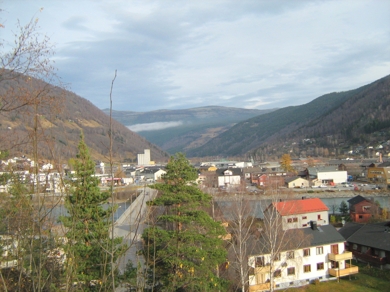
Sel Municipality
Sel is a municipality in Innlandet county, Norway. It is located in the traditional district of Gudbrandsdal. The administrative centre of the municipality is the town of Otta. The municipality also includes several notable villages including Bjølstadmo, Dale, Høvringen, Nord-Sel, Sandbumoen, Sjoa, and Skogbygda.
The 905-square-kilometre (349 sq mi) municipality is the 130th largest by area out of the 357 municipalities in Norway. Sel Municipality is the 171st most populous municipality in Norway with a population of 5,623. The municipality's population density is 6.2 inhabitants per square kilometre (16/sq mi) and its population has decreased by 3.6% over the previous 10-year period.
The new municipality of Sel was established on 1 January 1908 when the large Vaage Municipality was divided into three separate municipalities:
During the 1960s, there were many municipal mergers across Norway due to the work of the Schei Committee. On 1 January 1965, the following areas were merged to form a new, larger Sel Municipality:
Historically, this municipality was part of the old Oppland county. On 1 January 2020, the municipality became a part of the newly-formed Innlandet county (after Hedmark and Oppland counties were merged).
The municipality (originally the parish) is named after the old Sel farm (Old Norse: Sil) since the first Sel Church was built there. This farm is located in the present-day village of Nord-Sel. The name is identical with the word sil which means "slowly running and quiet part of a river" (here meaning the Gudbrandsdalslågen river).
The coat of arms was approved on 18 May 1985, but it was never approved by a royal decree because it did not meet the strict rules for coats of arms at that time. The blazon is "Azure, a girl playing a trumpet Or". This means the arms have a blue field (background) and the charge is a girl playing a trumpet. The charge has a tincture of Or which means it is commonly colored yellow, but if it is made out of metal, then gold is used. The design is based on the local Prillar-Guri legend. In 1612, a Scottish army marched through the area on its way to Sweden. They were stopped by the local farmers at the Battle of Kringen. The legend tells that the farmers were warned for the Scots by a local girl with a trumpet. The arms were designed by Jarle Skuseth. The municipal flag has the same design as the coat of arms.
The Church of Norway has three parishes (sokn) within Sel Municipality. It is part of the Nord-Gudbrandsdal prosti (deanery) in the Diocese of Hamar.
Hub AI
Sel Municipality AI simulator
(@Sel Municipality_simulator)
Sel Municipality
Sel is a municipality in Innlandet county, Norway. It is located in the traditional district of Gudbrandsdal. The administrative centre of the municipality is the town of Otta. The municipality also includes several notable villages including Bjølstadmo, Dale, Høvringen, Nord-Sel, Sandbumoen, Sjoa, and Skogbygda.
The 905-square-kilometre (349 sq mi) municipality is the 130th largest by area out of the 357 municipalities in Norway. Sel Municipality is the 171st most populous municipality in Norway with a population of 5,623. The municipality's population density is 6.2 inhabitants per square kilometre (16/sq mi) and its population has decreased by 3.6% over the previous 10-year period.
The new municipality of Sel was established on 1 January 1908 when the large Vaage Municipality was divided into three separate municipalities:
During the 1960s, there were many municipal mergers across Norway due to the work of the Schei Committee. On 1 January 1965, the following areas were merged to form a new, larger Sel Municipality:
Historically, this municipality was part of the old Oppland county. On 1 January 2020, the municipality became a part of the newly-formed Innlandet county (after Hedmark and Oppland counties were merged).
The municipality (originally the parish) is named after the old Sel farm (Old Norse: Sil) since the first Sel Church was built there. This farm is located in the present-day village of Nord-Sel. The name is identical with the word sil which means "slowly running and quiet part of a river" (here meaning the Gudbrandsdalslågen river).
The coat of arms was approved on 18 May 1985, but it was never approved by a royal decree because it did not meet the strict rules for coats of arms at that time. The blazon is "Azure, a girl playing a trumpet Or". This means the arms have a blue field (background) and the charge is a girl playing a trumpet. The charge has a tincture of Or which means it is commonly colored yellow, but if it is made out of metal, then gold is used. The design is based on the local Prillar-Guri legend. In 1612, a Scottish army marched through the area on its way to Sweden. They were stopped by the local farmers at the Battle of Kringen. The legend tells that the farmers were warned for the Scots by a local girl with a trumpet. The arms were designed by Jarle Skuseth. The municipal flag has the same design as the coat of arms.
The Church of Norway has three parishes (sokn) within Sel Municipality. It is part of the Nord-Gudbrandsdal prosti (deanery) in the Diocese of Hamar.